Click to visit the main New York Public Library Homepage
The New York Public Library
Digital Collections
About Digital Collections
Browse
Search only public domain materials
Items
Collections
Divisions
Home
Search
Browse
About
Search only public domain materials
Items
Collections
Divisions
Digital Collections
Using Images
Using Data
Collections
Charting America: Maps from the Lawrence H. Slaughter Collection and Others
Charting America: Maps from the Lawrence H. Slaughter Collection and Others
Navigation
Filters
Charting America: Maps from the Lawrence H. Slaughter Collection and Others
Previous
The south part of Virginia, now the north part of Carolina
0
Atlases, gazetteers, guidebooks and other books
377
Maps of the World
16
Maps of the Oceans
24
Maps of North and South America
23
Maps of North America.
551
Maps of New York City and State
1340
Lawrence H. Slaughter Collection of English maps, charts, globes, books and atlases
1020
John H. Levine Collection
60
More
Show filters
Hide filters
Show Only Public Domain
topic
Geography
48
Cod fisheries
4
World maps
4
Colonies
3
Atlases, British
2
More
Less
name
x
Moll, Herman, -1732
Childe, Timothy
50
Falconer, Robert, active 1700
47
Luyts, Jan, 1655-1721
47
Bowles, Thomas, 1694-1773
32
More
Less
collection
Lawrence H. Slaughter Collection of English maps, charts, globes, books and atlases
95
Maps of North and South America
2
John H. Levine Collection
1
place
North America
12
America
8
North America -- Maps -- Early works to 1800
7
America -- Maps -- Early works to 1800
3
Europe
3
More
Less
genre
Maps
95
Title pages
2
publisher
Printed for Timothy Childe at the White Hart at the West-end of St. Paul's Church-yard
47
... Sold ... by Tho. Bowles, print and map-seller in St. Paul's-Churchyard
32
Printed for and [sic] J. Churchil, in Pater-Noster-Row and T. Childe in St. Paul's Church-yard,
3
And sold by him [Herman Moll], over-against Devereux-Court, between Temple-Bar and St. Clements's-Church in the Strand,
2
Sold by H. Moll over against Deverux Court in ye Strand ...,
2
More
Less
division
Map Division
97
type
cartographic
93
text
3
still image
2
Date Range
to
98 results found
Filtering on:
x
Name
: Moll, Herman, -1732
Sort by:
Title
Date created
Date digitized
Sequence
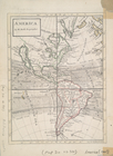
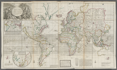
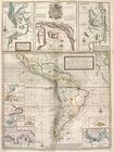
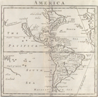
America
A new & exact map of the coas…
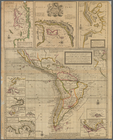
America
A map of the West-Indies &c. …
A new and correct map of the …
A new and correct map of the …
Map of Europe according to th…
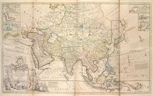
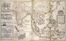
Map of Asia ...
A map of the East-Indies and …
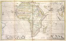
Map of Africa ...
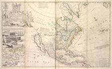
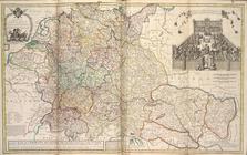
This map of North America, ac…
m
A new and exact map of the do…
m
A new map of the north parts …
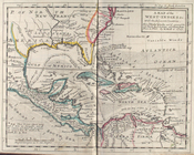
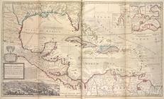
A map of the West-Indies or t…
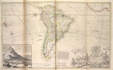
Map of South America ...
A new & exact map of the coas…
Map of Moscovy, Poland, Littl…
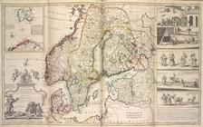
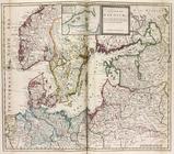
A new map of Denmark and Swed…
A new map of the Baltick &c. …
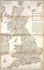
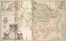
A new map of Great Britain.
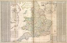
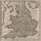
The south part of Great Brita…
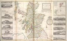
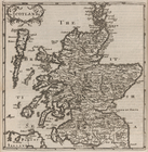
The north part of Great Brita…
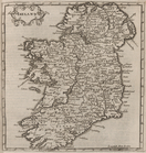
A new map of Ireland, divided…
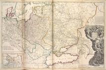
A new map of Germany, Hungary…
A new & exact map of the elec…
The seat of war on the Rhine …
A new and exact map of the Un…
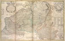
Les provinces des pays-bas Ca…
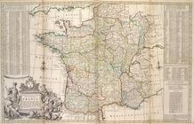
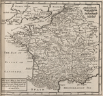
A new and exact map of France…
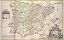
A new & exact map of Spain a…
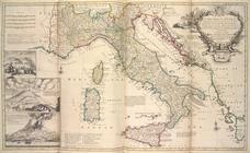
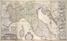
A new map of Italy, distingui…
A new map of the upper part o…
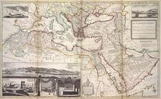
The Turkish Empire in Europe,…
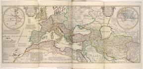
An historical map of Roman Em…
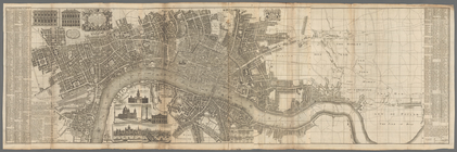
London surveyed or a new map …
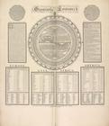
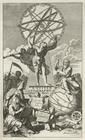
Geography epitomiz'd.
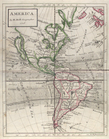
America
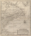
The English empire in America…
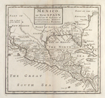
Mexico, or, New Spain : divid…
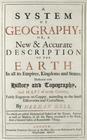
A system of geography with ne…
A system of geography, or, A…
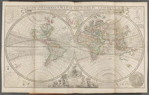
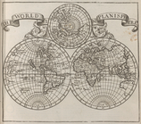
Map of the world.
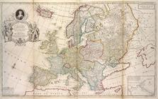
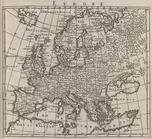
Europe.
Britain.
Scotland.
Ireland.
France.
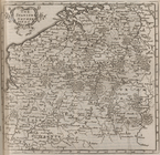
The Spanish Netherlands.
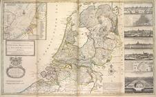
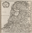
Holland and the other provinc…
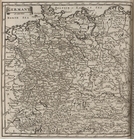
Germany.