Click to visit the main New York Public Library Homepage
The New York Public Library
Digital Collections
About Digital Collections
Browse
Search only public domain materials
Items
Collections
Divisions
Home
Search
Browse
About
Search only public domain materials
Items
Collections
Divisions
Digital Collections
Using Images
Using Data
Collections
Charting America: Maps from the Lawrence H. Slaughter Collection and Others
Charting America: Maps from the Lawrence H. Slaughter Collection and Others
Navigation
Filters
Charting America: Maps from the Lawrence H. Slaughter Collection and Others
Previous
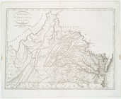
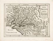
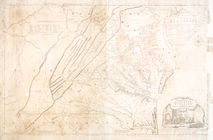
The south part of Virginia, now the north part of Carolina
0
Atlases, gazetteers, guidebooks and other books
377
Maps of the World
16
Maps of the Oceans
24
Maps of North and South America
23
Maps of North America.
551
Maps of New York City and State
1340
Lawrence H. Slaughter Collection of English maps, charts, globes, books and atlases
1020
John H. Levine Collection
60
More
Show filters
Hide filters
Show Only Public Domain
topic
Atlases, British
2
Geography
2
Astronomy, 1681
1
Atlases
1
History
1
More
Less
name
Smith, John, 1580-1631
8
Fry, Joshua, approximately 1700-1754
4
Jefferson, Peter, 1708-1757
4
Jefferys, Thomas, -1771
4
Hondius, Jodocus, 1563-1612
3
More
Less
collection
Lawrence H. Slaughter Collection of English maps, charts, globes, books and atlases
32
John H. Levine Collection
2
place
x
Virginia -- Maps -- Early works to 1800
Maryland -- Maps -- Early works to 1800
18
Virginia
7
Middle Atlantic States -- Maps -- Early works to 1800
6
New Jersey -- Maps -- Early works to 1800
4
More
Less
genre
Maps
34
publisher
Printed for Robt. Sayer at No. 53 in Fleet Street, & Thos. Jefferys at the corner of St. Martins Lane, Charing Cross,
2
... Published according to Act of Parliament by Thos. Jefferys, geographer to His Royal Highness the Prince of Wales at the corner of St. Martins Lane, Charing Cross,
1
A. Zatta,
1
Apud Iohannes Ianssonium van Waesberge,
1
C. Rötel,
1
More
Less
division
Map Division
34
type
cartographic
34
Date Range
to
34 results found
Filtering on:
x
Place
: Virginia -- Maps -- Early works to 1800
Sort by:
Title
Date created
Date digitized
Sequence
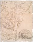
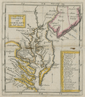
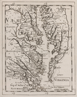
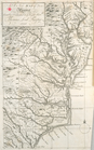
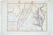
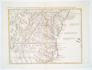
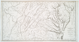
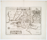
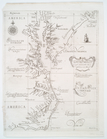
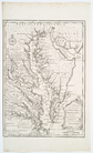
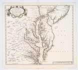
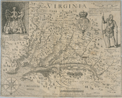
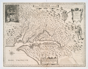
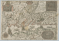
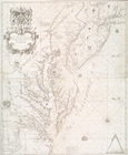
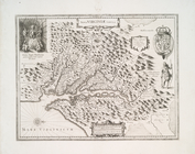
The state of Virginia : from …
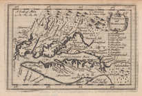
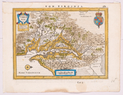
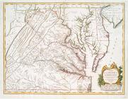
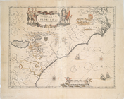
Virginia and Maryland.
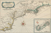
A new map of Virginia
A new map of Virginia and Mar…
Virginia.
A New map of Virginia.
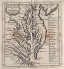
Carte de la Virginie, du Mary…
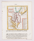
Il Maryland, il Jersey Meridi…
Map of Virginia, Maryland and…
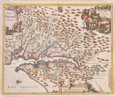
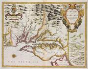
Noua Terrae-Mariae tabula.
Carta particolare della Virgi…
A new and accurate map of Vir…
Virginia.
A new map of Virginia and Mar…
Nova Virginiae tabula.
The State of Virginia from th…
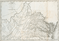
A map of the most inhabited p…
m
A map of the most inhabited p…
A map of the most inhabited p…
A map of Virginia and Maryland
Nova Virginiae tabula
A new map of Virginia, Mary-l…
Virginia
Nova Virginiae tabvla
Virginia
Nova Virginiae tabvla
A new map of Virginia, Maryla…
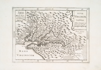
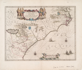
Virginiae partis australis, e…
Virginiae item et Floridae Am…
A map of the most inhabited p…
Nova Virginiae tabvla.
Virginiae partis australis et…
Nova Virginiae tabvla
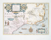
Virginia, Nieu Neder-landt, N…
End of results
|
Top
Filter
x
Sorry. Nothing matches your entry
Feedback
Close
Feedback
Thank you!
Comment
Correction
Bug
400
Take a survey
Send
Please wait...
Thank you for helping the Library.
Close