Click to visit the main New York Public Library Homepage
The New York Public Library
Digital Collections
About Digital Collections
Browse
Search only public domain materials
Items
Collections
Divisions
Home
Search
Browse
About
Search only public domain materials
Items
Collections
Divisions
Digital Collections
Using Images
Using Data
Search
Filtered search
Show filters
Hide filters
Show Only Public Domain
topic
x
Maps
Early works to 1800
6
Discovery and exploration
3
Geography
2
Agriculture
1
More
Less
name
Blaeu, Willem Janszoon, 1571-1638
3
Blaeu, Joan, 1596-1673
2
Coignet, Michel, 1549-1623
2
Hondius, Jodocus, 1563-1612
2
Ortelius, Abraham, 1527-1598
2
More
Less
collection
Maps of North America
3
Maps of North and South America
3
Lawrence H. Slaughter Collection of English maps, charts, globes, books and atlases
2
A map of Virginia: VVith a description of the covntrey, the commodities, people, government and religion
1
Africæ: nova descriptio
1
More
Less
place
Virginia
4
America
3
Florida
3
South Atlantic States
3
Western Hemisphere
3
More
Less
genre
Maps
12
Early maps
2
Prints
1
publisher
J. and C. Blaeu
2
Printed for Ieames Shawe, and are to be solde at his shoppe nigh Ludgate,
2
Guillaume Chaudiere
1
Hondius?
1
Imprinted ... by Iohn Wolfe, grauen by Robert Beckit
1
More
Less
division
Map Division
9
Rare Book Division
1
Schomburg Jean Blackwell Hutson Research and Reference Division
1
Wallach Division: Print Collection
1
type
cartographic
12
still image
1
Date Range
to
12 results found
Filtering on:
x
Date
: 1575 - 1642
x
Topic
: Maps
Sort by:
Title
Date created
Date digitized
Sequence
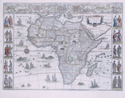
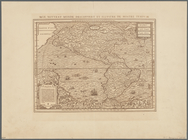
Africæ: nova descriptio
Insulae Moluccae celeberrimae…
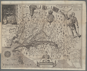
Map of Virginia
m
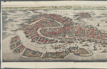
Venetia
Le nouveau monde descouvert e…
m
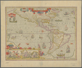
America
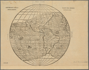
Universale della parte del mo…
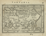
Tartaria.
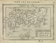
Iaponia Insula.
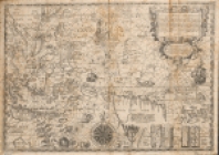
Virginiae item et Floridae Am…
Virginiae partis australis, e…
Virginiae partis australis, e…
End of results
|
Top