Click to visit the main New York Public Library Homepage
The New York Public Library
Digital Collections
About Digital Collections
Browse
Search only public domain materials
Items
Collections
Divisions
Home
Search
Browse
About
Search only public domain materials
Items
Collections
Divisions
Digital Collections
Using Images
Using Data
Search
Filtered search
Show filters
Hide filters
Show Only Public Domain
topic
Nautical charts
7
Atlases, British
3
Coasts
3
Eastern Canada
3
West Indies, British
2
More
Less
name
Goos, Pieter, approximately 1616-1675
3
Dudley, Robert, Sir, 1574-1649
2
Godbid, Anne
2
Lucini, Antonio Francesco, 1605-
2
Playford, John, ca. 1655-1685 or 6
2
More
Less
collection
Lawrence H. Slaughter Collection of English maps, charts, globes, books and atlases
7
I. N. Phelps Stokes Collection of American Historical Prints
5
Maps of North America
1
place
x
Atlantic Coast (North America)
Caribbean Area
5
Atlantic States
3
Maps
3
West Indies
3
More
Less
genre
Maps
13
Prints
5
Nautical charts
1
publisher
By Pieter Goos, op de Texelse Kay, naest de Rams-koy, in de Zee-Spiegel
2
Printed by A. Godbid and J. Playford, for John Seller ...,
2
And are to be sold at his shopps in Wapping at the Hermitage and in Exchange-Alley near the Royall-Exchange ..
1
Johanne van Keulen
1
Johannes Janssonius
1
More
Less
division
Map Division
8
Wallach Division: Print Collection
5
type
cartographic
13
Date Range
to
13 results found
Filtering on:
x
Date
: 1630 - 1730
x
Place
: Atlantic Coast (North America)
Sort by:
Title
Date created
Date digitized
Sequence
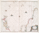
Pas kaart van West Indien : b…
m
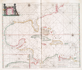
A chart of the West Indias fr…
m
A chart of the West Indias fr…
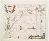
A chart of the West Indies fr…
Pascaerte vande Vlaemsche, So…
Pascaerte van Westindien : de…
A chart of the Atlantick Ocea…
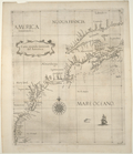
America Borealis 1699.
Carta seconda generale del'Am…
Carta particolare della Nuoua…
Americae septentrionalis pars.
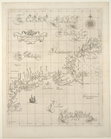
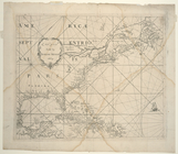
Pas caerte van Nieu Nederland…
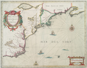
Nova Anglia Novvm Belgivm et …
End of results
|
Top