Click to visit the main New York Public Library Homepage
The New York Public Library
Digital Collections
About Digital Collections
Browse
Search only public domain materials
Items
Collections
Divisions
Home
Search
Browse
About
Search only public domain materials
Items
Collections
Divisions
Digital Collections
Using Images
Using Data
Search
Filtered search
Show filters
Hide filters
Show Only Public Domain
topic
Coasts
4
Nautical charts
4
Waterways
2
Atlases
1
Beavers
1
More
Less
name
Moll, Herman, -1732
4
Bowles, John, 1701-1779
3
Senex, John, -1740
3
Bowles, Thomas, 1694-1773
2
Mortier, Pierre
2
More
Less
collection
Lawrence H. Slaughter Collection of English maps, charts, globes, books and atlases
11
Maps of North America
7
Cartographic materials from the Emmet collection of manuscripts etc. relating to American history
1
John H. Levine Collection
1
place
x
Maryland
Virginia
18
New Jersey
11
Pennsylvania
8
Maps
6
More
Less
genre
Maps
20
publisher
Chez P. Mortier
2
... Sold ... by Tho. Bowles, print and map-seller in St. Paul's-Churchyard
1
A. Wolfgang
1
Chez Louïs Billaine
1
Literis Wernerianis,
1
More
Less
division
Map Division
20
type
cartographic
20
Date Range
to
20 results found
Filtering on:
x
Date
: 1646 - 1750
x
Place
: Maryland
Sort by:
Title
Date created
Date digitized
Sequence
Costes et rivieres de Virgini…
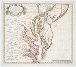
A new map of Virginia, Mary-l…
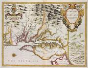
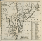
A map of Virginia and Maryland
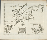
A chart of the sea coast of N…
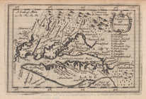
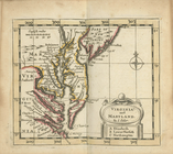
Virginia and Maryland.
Virginia and Maryland
m
A new and exact map of the do…
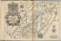
Delineatio Pennsilvaniae et C…
A chart of the sea coasts of …
Nouvelle carte de la Pensylva…
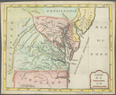
Carte de la Virginie et du Ma…
A chart of the sea coast of N…
Virginia and Maryland
A map of ye English Empire in…
A new map of Virginia and Mar…
Lord Balitmore's own plan : p…
Virginia and Maryland
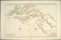
Carte particuliere de Virgini…
A new map of Virginia
Carte particuliere de Virgini…
End of results
|
Top