Click to visit the main New York Public Library Homepage
The New York Public Library
Digital Collections
About Digital Collections
Browse
Search only public domain materials
Items
Collections
Divisions
Home
Search
Browse
About
Search only public domain materials
Items
Collections
Divisions
Digital Collections
Using Images
Using Data
Search
Filtered search
Show filters
Hide filters
Show Only Public Domain
topic
Nautical charts
5
Coasts
4
Atlases, British
2
Waterways
2
History
1
More
Less
name
Morden, Robert, approximately 1650-1703
3
Bassett, Thomas
2
Chiswell, Richard
2
Godbid, Anne
2
Goos, Pieter, approximately 1616-1675
2
More
Less
collection
Lawrence H. Slaughter Collection of English maps, charts, globes, books and atlases
7
Maps of North America
6
I. N. Phelps Stokes Collection of American Historical Prints
3
Atlases, gazetteers, guidebooks and other books
1
John H. Levine Collection
1
place
x
New Jersey
New England
6
New York (State)
6
Pennsylvania
6
Maryland
5
More
Less
genre
Maps
17
Prints
3
Cadastral maps
1
Early maps
1
Early works to 1800
1
More
Less
publisher
Chez P. Mortier
2
Printed by A. Godbid and J. Playford, for John Seller ...,
2
A. Wolfgang
1
P. Goos
1
Pieter Goos
1
More
Less
division
Map Division
15
Wallach Division: Print Collection
3
type
cartographic
18
still image
1
Date Range
to
18 results found
Filtering on:
x
Date
: 1656 - 1700
x
Place
: New Jersey
Sort by:
Title
Date created
Date digitized
Sequence
Map of Gotham Division of the…
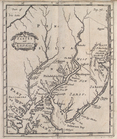
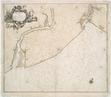
A new map of New Jarsey and P…
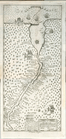
A map of New Iarsey
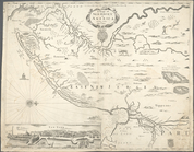
A chart of the sea coasts of …
Nova Svecia
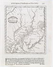
Nouvelle carte de la Pensylva…
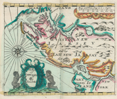
A mapp of New Jersey in Ameri…
A new map of New Jarsey and P…
A sketch of the operations of…
A map of ye English Empire in…
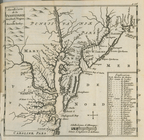
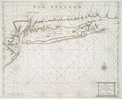
A map of New England and New …
A map of New England and New …
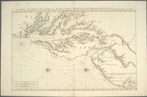
Carte particuliere de Virgini…
Part of New England New York …
A mapp of New Jarsey
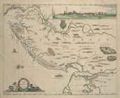
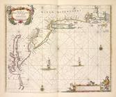
Paskaerte van de zuydt en Noo…
Pas caerte van Nieu Nederland…
Carte particuliere de Virgini…
End of results
|
Top