Click to visit the main New York Public Library Homepage
The New York Public Library
Digital Collections
About Digital Collections
Browse
Search only public domain materials
Items
Collections
Divisions
Home
Search
Browse
About
Search only public domain materials
Items
Collections
Divisions
Digital Collections
Using Images
Using Data
Search
Filtered search
Show filters
Hide filters
Show Only Public Domain
topic
Landowners
25
Real property
24
Maps
23
Nautical charts
9
History
6
More
Less
name
Alexander, James, 1691-1756
9
Moll, Herman, -1732
5
Bond, Benjamin
3
Bowles, John, 1701-1779
3
Clinker Lot Right Men
3
More
Less
collection
Maps of North America
37
Lawrence H. Slaughter Collection of English maps, charts, globes, books and atlases
18
Maps of New York City and State
4
I. N. Phelps Stokes Collection of American Historical Prints
3
Atlases, gazetteers, guidebooks and other books
2
More
Less
place
x
New Jersey
Maryland
15
New England
14
Pennsylvania
14
New York (N.Y.)
12
More
Less
genre
Maps
65
Manuscript maps
24
Surveys
24
Prints
4
Cadastral maps
1
More
Less
publisher
Printed by James Parker, and a few Copies are to be Sold by him, and Benjamin Franklin, in Philadelphia;
3
Chez P. Mortier
2
Printed by A. Godbid and J. Playford, for John Seller ...,
2
Printed for R. Baldwin in Pater Noster Row
2
Printed for Tho. Bowles and John Bowles
2
More
Less
division
Map Division
63
Wallach Division: Print Collection
4
type
cartographic
66
still image
2
Date Range
to
67 results found
Filtering on:
x
Date
: 1660 - 1760
x
Place
: New Jersey
Sort by:
Title
Date created
Date digitized
Sequence
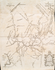
Map of Gotham Division of the…
m
M. Stacy 1000 a. (survey of M…
m
Draughts of land in Amwell in…
m
A plan of 8 acres land survey…
m
Jon. Biddle's draught on Assu…
m
Coll. John Bryerly's draught …
m
Benjn. Field's surveys (of 17…
m
Jon. Jewel's draught for 105 …
m
Draught of 8 3/4 acres of lan…
m
Draught of 1855 acres lying u…
m
Saml. Devenport & Elizath. Ro…
m
Draught of Gidion's Bickerdik…
m
Coppy of M. Stacys survey, 13…
m
Mahlon Wright's draft of 86 a…
m
John Biddle's survey of 472 a…
m
John Biddle's survey of 219 a…
m
Saml. Devenports draught & su…
m
Saml. Devenports tract as ye …
m
Jos. Kirkbrid's 1250 acre tra…
m
Copy of the return of Joseph …
m
Return of land joyning to Tho…
m
Return of three tract of pine…
m
Isaac Watson resurvey, 1724 (…
m
Saml. Devenports mapp of his …
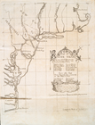
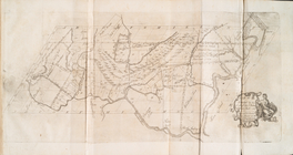
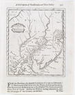
A draught of New York and Per…
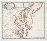
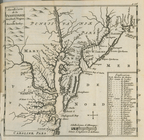
A new map of Virginia, Mary-l…
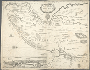
A chart of the sea coast of N…
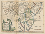
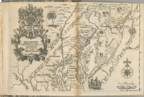
A map of Maryland with the De…
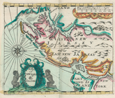
A new map of New Jarsey and P…
New Iarsey
m
A new and exact map of the do…
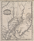
Delineatio Pennsilvaniae et C…
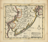
A map of New Iarsey
A chart of the sea coasts of …
Nova Svecia
Map no. I : [to accompany A b…
Map no. II : [to accompany A …
Map no. III : [to accompany A…
Nouvelle carte de la Pensylva…
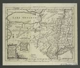
A map of New England, New Yor…
A mapp of New Jersey in Ameri…
A new map of New Jarsey and P…
A map of the eastern part of …
Ports de la Nouvelle York et …
New York and Perthamboy Harbo…
A map of the eastern part of …
A chart of the sea coast of N…
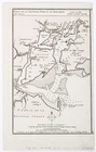
A general map of the middle B…
A sketch of the operations of…
An actual survey of the sea c…