Click to visit the main New York Public Library Homepage
The New York Public Library
Digital Collections
About Digital Collections
Browse
Search only public domain materials
Items
Collections
Divisions
Home
Search
Browse
About
Search only public domain materials
Items
Collections
Divisions
Digital Collections
Using Images
Using Data
Search
Filtered search
Show filters
Hide filters
Show Only Public Domain
topic
Harbors
1
Maps
1
Nautical charts
1
name
Bowles, John, 1701-1779
8
Moll, Herman, -1732
7
Bowles, Thomas, 1694-1773
5
Bowles, Thomas, -1767
3
Chatelain, Henri Abraham
2
More
Less
collection
Maps of North America
9
Lawrence H. Slaughter Collection of English maps, charts, globes, books and atlases
7
John H. Levine Collection
1
place
North America
4
Maryland
2
New England
2
New Jersey
2
New York
2
More
Less
genre
Maps
17
publisher
Printed for Thomas Page and William Mount, at the Postern, on Tower-Hill
6
Printed for Tho. Bowles and John Bowles
5
Printed for Tho. Bowles and John Bowles,
2
Printed for & sold by Page & Mount on Tower Hill
1
Thomas and John Bowles
1
More
Less
division
x
Map Division
type
cartographic
17
Date Range
to
17 results found
Filtering on:
x
Date
: 1732 - 1732
x
Division
: Map Division
Sort by:
Title
Date created
Date digitized
Sequence
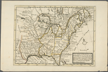
Carolina
Carte contenant le royaume du…
A new map of ye north parts o…
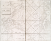
A new generall chart for the …
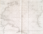
A generall chart of the Weste…
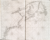
A chart of the sea coast of N…
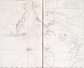
A draught of New York from th…
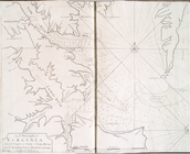
A draught of Virginia from th…
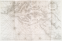
Virginia, Maryland, Pennsilva…
A new map of ye north parts o…
Virginia and Maryland
New England, New York, New Je…
Virginia and Maryland
New England, New York, New Je…
New England, New York, New Je…
Carte de la Nouvelle France, …
A draught of New York from th…
End of results
|
Top