Click to visit the main New York Public Library Homepage
The New York Public Library
Digital Collections
About Digital Collections
Browse
Search only public domain materials
Items
Collections
Divisions
Home
Search
Browse
About
Search only public domain materials
Items
Collections
Divisions
Digital Collections
Using Images
Using Data
Search
Filtered search
Show filters
Hide filters
Show Only Public Domain
topic
Nautical charts
2
Trade routes
2
Trade winds
2
Magnetic declination
1
name
Bellin, Jacques Nicolas, 1703-1772
2
Bowen, Emanuel, d. 1767
2
Cooper, Thomas, d. 1743
2
L'Isle, Guillaume de, 1675-1726
2
Anse, Luggert van, active 1690-1716
1
More
Less
collection
Lawrence H. Slaughter Collection of English maps, charts, globes, books and atlases
4
Maps of North America
3
Maps of the Oceans
2
Atlases, gazetteers, guidebooks and other books
1
Coste d'Afrique et les Isles comprises entre le Cap Rouge et la riviere de Nunho: corrigée sur les manuscripts du depôt des cartes, plans, et journaux de la marine
1
More
Less
place
x
Early works to 1800
Maps
12
North America
3
North Atlantic Ocean
2
Africa, West
1
More
Less
genre
Maps
12
publisher
Chez Didot
1
Chez J. Cóvens et C. Mortier
1
Chéz R. & J. Ottens, geogrâphes dan le Kalverstraat au Carte du Monde
1
Officina Homanniana
1
Par et chez le Sr. le Rouge ...,
1
More
Less
division
Map Division
10
Schomburg Jean Blackwell Hutson Research and Reference Division
2
type
cartographic
12
text
1
Date Range
to
12 results found
Filtering on:
x
Date
: 1740 - 1749
x
Place
: Early works to 1800
Sort by:
Title
Date created
Date digitized
Sequence
Coste d'Afrique et les Isles …
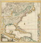
Amerique septentrionale : sui…
A New and correct chart of th…
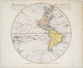
Hemisphere occidental dresse …
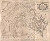
A new map of Virginia from th…
Nouvelle Angleterre, Nlle. Yo…
Nova tabula geographica compl…
L'Amérique septentrionale : d…
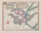
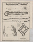
Mouth of the Senegal River an…
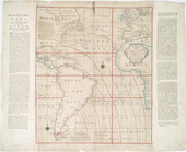
A new chart of the vast Atlan…
A new chart of the vast Atlan…
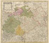
Circuli Supe. Saxoniae Pars M…
End of results
|
Top