Click to visit the main New York Public Library Homepage
The New York Public Library
Digital Collections
About Digital Collections
Browse
Search only public domain materials
Items
Collections
Divisions
Home
Search
Browse
About
Search only public domain materials
Items
Collections
Divisions
Digital Collections
Using Images
Using Data
Search
Filtered search
Show filters
Hide filters
Show Only Public Domain
topic
Geography
144
History
129
Maps
90
Nautical charts
78
Real property
60
More
Less
name
Faden, William, 1749-1836
105
Jomard, M. (Edme-François), 1777-1862
88
Napoleon I, Emperor of the French, 1769-1821
86
Carey, Mathew, 1760-1839
79
Tiebout, Cornelius, 1777-1832
63
More
Less
collection
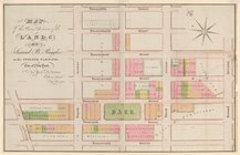
Bancker plans
878
Lawrence H. Slaughter Collection of English maps, charts, globes, books and atlases
439
Maps of North America
406
Atlases, gazetteers, guidebooks and other books
160
Maps of New York City and State
152
More
Less
place
United States
248
New York (State)
183
New York (N.Y.)
178
Great Britain
134
Maps
105
More
Less
genre
x
Maps
Surveys
878
land surveys
775
Prints
134
Documents
110
More
Less
publisher
Impr. impériale
86
M. Carey
60
publisher not identified
59
Published by Wm. Faden, geographer to His Majesty, and His R.H. the Prince of Wales
53
Printed for John Cary
47
More
Less
division
Map Division
1313
Manuscripts and Archives Division
897
Rare Book Division
145
General Research Division
111
Wallach Division: Print Collection
44
More
Less
type
cartographic
2632
text
202
still image
30
Date Range
to
2,645 results found
Filtering on:
x
Date
: 1765 - 1831
x
Genre
: Maps
Sort by:
Title
Date created
Date digitized
Sequence
m
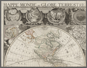
Mappe monde, ou globe terrest…
Plan of the town of Paramarib…
A map of Dutch settlements of…
Isothermal chart, or, View of…
m
Plano.: de la Ysla de Sn. Jua…
m
A chart of the discoveries of…
m
A New and Accurate Map of the…
A new map of Africa from the …
Map of Virginia, Maryland and…
A map of New Jersey : from th…
Colony of Liberia, on the Wes…
m
Carte trigonométrique des côt…
Chart of part of the Coast of…
Map of the Lower Division of …
Amerika ĕst nor Ashkharhagrak…
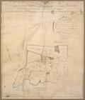
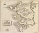
Survey of part of the Grange …
Map and survey of lands of up…
Great Falls of Columbia River
Plan of the town of York Haven
Plan of Conewago Canal
Pennsylvania and Maryland map
Settlements of the Swiss past…
m
Township of Franklin situate …
m
Franklinville with privileges…
m
Carte d'une partie de l'Etat …
Map of the American Coast, fr…
5) Pennsylvania - Paoli, Ches…
A perspective view of Lake Ge…
A map of the south part of th…
A chorographical map of the P…
Plan of the city and fortific…
East India Islands
A map of the world from the b…
Plan de la ville Tartare de P…
Det gamle Norge
Ancient Italy
Countries adjacent to the Med…
A map of Barbary comprehendin…
m
Rough dr of Jn Devoor's farm
m
Nicholas Carmer and Mary Clar…
m
1800 October 29
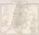
La Palestine
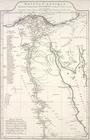
Ægyptus antiqua : Mandato ser…
A new map of North America fr…
A plan of Captain Carvers tra…
m
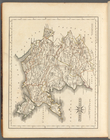
North Wales
m
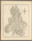
South Wales
m
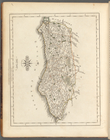
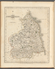
Sussex
m
Northumberland
m
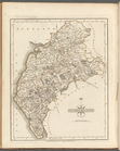
Cumberland
1
2
3
4
5
6
7
8
9
10
11
Previous
Next
1
2
3
4
5
6
7
8
9
10
11
Previous
Next