Click to visit the main New York Public Library Homepage
The New York Public Library
Digital Collections
About Digital Collections
Browse
Search only public domain materials
Items
Collections
Divisions
Home
Search
Browse
About
Search only public domain materials
Items
Collections
Divisions
Digital Collections
Using Images
Using Data
Search
Filtered search
Show filters
Hide filters
Show Only Public Domain
topic
Description and travel
112
Houses
100
Historic buildings
73
Trees
37
Homes and haunts
21
More
Less
name
DeBevoise, C. Manley
235
Beers, Comstock & Cline
113
Beers, F. W. (Frederick W.)
112
Austin, Daniel Berry
81
Van der Weyde, William M. (William Manley), 1870-1928
8
More
Less
collection
Photographic views of the United States
303
Atlases of New York City
112
Collection of photographs taken by Daniel B. Austin and his associate, Adam Dove, depicting buildings, street scenes and Brooklyn and Long Island views, particularly Flatbush, Gravesend and New Utrecht, and generally for the period 1885-1914
81
Maps of New York City and State
29
Robert N. Dennis collection of stereoscopic views
17
More
Less
place
x
Long Island (N.Y.)
New York (State)
419
United States
312
Port Washington (N.Y.)
30
Huntington (N.Y.)
29
More
Less
genre
Photographs
403
Maps
138
Stereographs
17
pages (components)
12
Prints
8
More
Less
publisher
Beers, Comstock & Cline
113
G.W. & C.B. Colton & Co
4
U.S. Coast Survey office
4
Published for the use of the Royal Navy of Great Britain by Joseph F. W. Des Barres
2
S.D.L. Taunton, 88 Warren St
2
More
Less
division
Milstein Division
385
Map Division
153
Wallach Division: Photography Collection
20
Wallach Division: Print Collection
6
Wallach Division: Picture Collection
3
More
Less
type
still image
414
cartographic
137
text
21
Date Range
to
572 results found
Filtering on:
x
Date
: 1770 - 1887
x
Place
: Long Island (N.Y.)
Sort by:
Title
Date created
Date digitized
Sequence
m
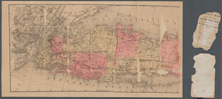
Taunton new guide map and dir…
m
Map of Long Island and the so…
Map showing the New York and …
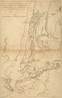
Plan of the Battle of Long Is…
m
Colton's new map of Long Isla…
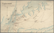
Emplacement des troupes en qu…
m
Eastern part of Long Island S…
Long Island Sound (western sh…
Middle part of Long Island So…
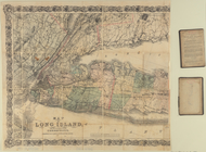
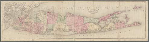
Map of Long Island
Tidal currents of Long Island…
Map of Long Island: showing t…
m
Post route map of the states …
m
A map of the most inhabited p…
Map of the New York & Boston …
m
A map of the most inhabited p…
The state of Connecticut: inc…
Connecticut and parts adjacent
A new and accurate map of Con…
Western part of the southern …
Middle part of the southern c…
Eastern part of the southern …
A plott of ye situations of t…
m
Map of Long Island
m
Map of Long Island and the so…
m
Map of Long Island and adjace…
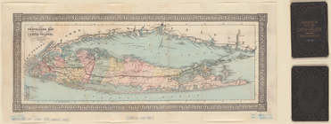
Travellers map of Long Island
m
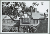
The Cutting Mansion near Baby…
Map of Massachusetts, Connect…
Rand McNally & Co.'s new rail…
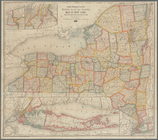
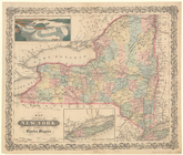
Map of the State of New York
Windmill, Long Island; Misty …
E. N. E. view of the west end…
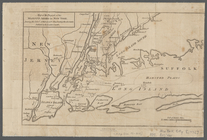
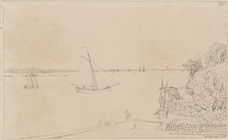
View of Long Island & East Ri…
m
Minutes of the Committee of B…
[A chart of New York Island &…
A chart of New York Island & …
m
Map of the progress of His Ma…
A plan of New York Island, pa…
A plan of New York Island, wi…
m
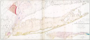
Geological map of Long & Stat…
Chart and plan of the harbour…
A plan of New York Island, wi…
m
Taunton new guide map and dir…
m
Taunton new guide map and dir…
An original sketch by an Engl…
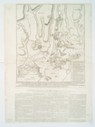
Atlas of Long Island, New Yor…
Table of Contents
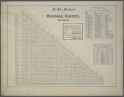
Table of distances for Kings …
Air-Line Distances for Suffol…
1
2
3
Previous
Next
1
2
3
Previous
Next