Click to visit the main New York Public Library Homepage
The New York Public Library
Digital Collections
About Digital Collections
Browse
Search only public domain materials
Items
Collections
Divisions
Home
Search
Browse
About
Search only public domain materials
Items
Collections
Divisions
Digital Collections
Using Images
Using Data
Search
Filtered search
Show filters
Hide filters
Show Only Public Domain
topic
History
3
Long Island, Battle of, New York, N.Y., 1776
2
name
Fry, Joshua, approximately 1700-1754
6
Jefferson, Peter, 1708-1757
6
Chez Brocas
2
Holland, Samuel, 1728-1801
2
Leboucher, Odet-Julien, 1744-1826
2
More
Less
collection
Lawrence H. Slaughter Collection of English maps, charts, globes, books and atlases
9
Maps of North America
6
John H. Levine Collection
1
Maps of New York City and State
1
place
x
Middle Atlantic States
Maryland
7
Virginia
7
Maps
6
New Jersey
6
More
Less
genre
Maps
17
publisher
Chez Brocas
2
Presso Antonio Zatta
2
Printed for Robt. Sayer and Jno. Bennett
2
A. Zatta
1
Chez Delamarche?,
1
More
Less
division
Map Division
17
type
cartographic
17
Date Range
to
17 results found
Filtering on:
x
Date
: 1773 - 1787
x
Place
: Middle Atlantic States
Sort by:
Title
Date created
Date digitized
Sequence
m
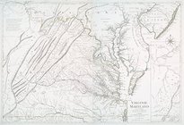
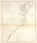
A map of the most inhabited p…
A map of the country between …
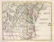
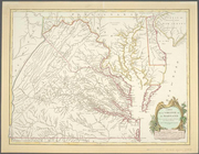
Carte de la Virginie et du Ma…
Virginie, Maryland : en 2 feu…
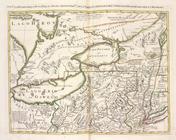
La Pensilvania, la Nuova York…
Il Maryland, il Jersey Meridi…
A Map of the country round Ph…
Carte réduite du Nord des Eta…
Carte réduite du Sud des État…
Position der Königl; Grosbrit…
The seat of action between th…
The seat of action between th…
La Pensilvania, la Nuova York…
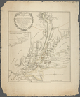
A map of the most inhabited p…
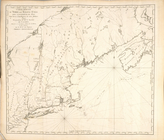
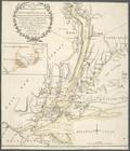
An exact map of New England, …
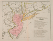
An exact map of New Jersey, P…
Carte de la Virginie et du Ma…
End of results
|
Top