Click to visit the main New York Public Library Homepage
The New York Public Library
Digital Collections
About Digital Collections
Browse
Search only public domain materials
Items
Collections
Divisions
Home
Search
Browse
About
Search only public domain materials
Items
Collections
Divisions
Digital Collections
Using Images
Using Data
Search
Filtered search
Show filters
Hide filters
Show Only Public Domain
topic
Nautical charts
17
World maps
10
Railroads
7
Canals
6
Landowners
5
More
Less
name
Burr, David H., 1803-1875
8
Faden, William, 1749-1836
5
Lodge, John, -1796
5
Rawdon, Clark & Co
5
Rawdon, Wright & Co
5
More
Less
collection
Maps of North America
56
Maps of New York City and State
20
Lawrence H. Slaughter Collection of English maps, charts, globes, books and atlases
19
Maps of the World
10
Maps of the Oceans
7
More
Less
place
x
Maps
Early works to 1800
45
United States
24
New York (N.Y.)
12
New York (State)
12
More
Less
genre
Maps
135
Atlases
4
Aerial views
1
Prints
1
publisher
s.n
8
J. Melish
3
s.n.,
3
D. H. Burr
2
Printed by George Ramsay and Company for John Thomson and Company, etc.,
2
More
Less
division
Map Division
124
Schomburg Jean Blackwell Hutson Research and Reference Division
10
Wallach Division: Picture Collection
1
Wallach Division: Print Collection
1
type
cartographic
134
still image
2
text
2
Date Range
to
136 results found
Filtering on:
x
Date
: 1777 - 1871
x
Place
: Maps
Sort by:
Title
Date created
Date digitized
Sequence
Isothermal chart, or, View of…
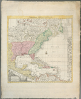
A map of the world from the b…
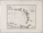
A chart of the world : exhibi…
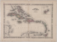
Johnson's West Indies
Carta delle Isole Antille
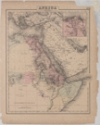
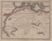
Africa: North Eastern sheet
Africa antiqua
A new and accurate chart (fro…
A new and accurate chart (fro…
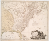
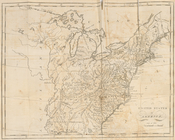
The United States of North Am…
A new map of part of the Unit…
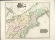
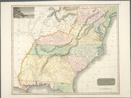
Northern provinces of the Uni…
Southern provinces of the Uni…
A plan of Fort Montgomery & F…
Amerique septentrionale : sui…
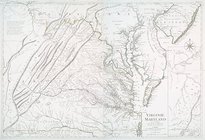
Virginie, Maryland : en 2 feu…
The marches of Lord Cornwalli…
A chart of Delaware Bay and R…
A chart of Delawar River from…
Carte d'Amerique : diviseé en…
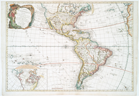
A new map of the whole contin…
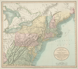
The United States of America
Carte de la Nouvelle York : y…
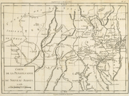
Carte de la Pensylvanie et du…
A chart of Delawar Bay : with…
Long Island Sound from New Yo…
A geological section of the c…
A map of the village of Willi…
m
Oyster Bay and Huntington, Hu…
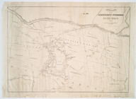
Route of the Albany & West St…
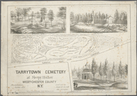
Tarrytown Cemetery at Sleepy …
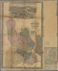
A map of the state of New Yor…
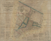
Hooker's new pocket plan of t…
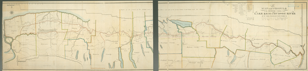
A new map and profile of the …
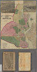
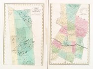
Map of the county of Westches…
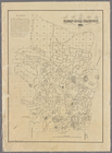
Map of the county of Sullivan
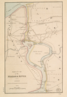
Sketch of the Niagara River.
m
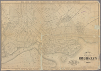
Map of Consolidated City Broo…
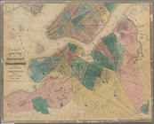
Map of the cities of Brooklyn…
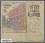
Map of the City of Williamsbu…
m
Greenwood cemetery.
m
Greenwood cemetery.
m
Map of lots near Prospect Par…
m
Map of the city of Brooklyn. …
Greenwood cemetery [Legend on…
Map of the Cities of Brooklyn…
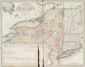
Map of the state of New-York …
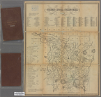
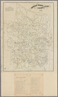
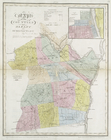
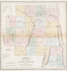
Map of the county of Herkimer
Map of the counties of Albany…
Map of the counties of Ontari…