Click to visit the main New York Public Library Homepage
The New York Public Library
Digital Collections
About Digital Collections
Browse
Search only public domain materials
Items
Collections
Divisions
Home
Search
Browse
About
Search only public domain materials
Items
Collections
Divisions
Digital Collections
Using Images
Using Data
Search
Filtered search
Show filters
Hide filters
Show Only Public Domain
topic
Forts & fortifications
31
History
20
Theaters
8
Administrative and political divisions
4
Fortification
4
More
Less
name
Nowell, F. A
31
Soule, John P
12
Havens, O. Pierre, 1838-1912
11
Souder, S. T
11
Quinby & Co
10
More
Less
collection
Robert N. Dennis collection of stereoscopic views
147
Emmet Collection of Manuscripts Etc. Relating to American History
33
Maps of North America
19
Billy Rose Theatre Collection photograph file
8
Wallach Division Picture Collection
7
More
Less
place
x
Charleston (S.C.)
South Carolina
173
Charleston
53
United States
15
Charleston Region (S.C.)
6
More
Less
genre
Photographs
159
Stereographs
147
Prints
41
Maps
20
Postcards
3
More
Less
publisher
F. A. Nowell
19
John P. Soule
12
Quinby & Co
12
O. Pierre Havens
11
Littleton View Co
9
More
Less
division
Wallach Division: Photography Collection
153
Wallach Division: Print Collection
36
Map Division
19
Billy Rose Theatre Division
8
Wallach Division: Picture Collection
7
More
Less
type
still image
209
cartographic
20
text
3
Date Range
to
230 results found
Filtering on:
x
Date
: 1777 - 1899
x
Place
: Charleston (S.C.)
Sort by:
Title
Date created
Date digitized
Sequence
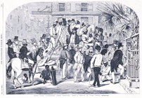
Leaving Charleston on the cit…
m
Map of Charleston and its vic…
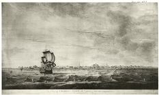
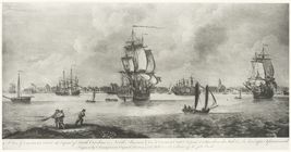
The harbour of Charles Town i…
m
A sketch of the operations be…
A sketch of the environs of C…
A sketch of the environs of C…
A sketch of the environs of C…
m
The city of Charleston, South…
Plan of the siege of Charlest…
Plan of the siege of Charlest…
New map of Charleston Harbor:…
Fortifications of Charleston …
Map of North Carolina and Sou…
Johnson's North Carolina and …
Charleston : a map showing th…
Plan of the siege of Charlest…
A plan of Charles town
Map of the states of North & …
m
A map of South Carolina : con…
Slave sale, Charleston, South…
A new and general map of the …
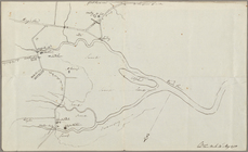
Map of Charleston Neck, South…
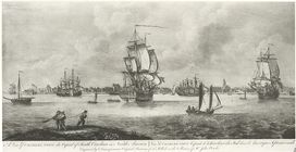
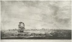
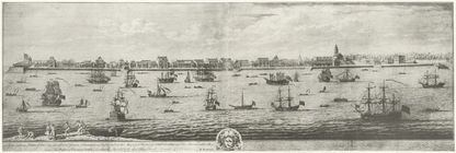
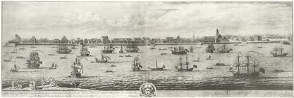
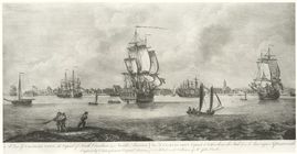
A view of Charles-Town, the c…
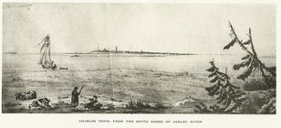
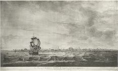
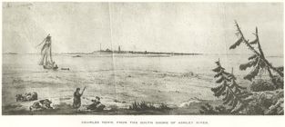
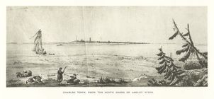
Charles Town, from the south …
A view of Charles Town, the c…
[...]Prospect of Charles-Town…
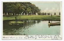
Country Club Grounds, Charles…
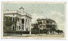
Residence on South Battery, C…
Hugenot Church, Charleston, S…
A View of Charles-Town, the C…
A view of Charles Town the Ca…
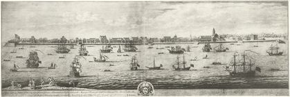
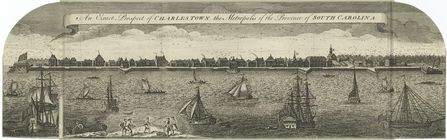
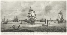
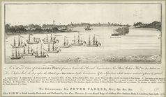
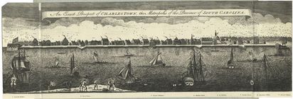
An exact prospect of Charlest…
Prospect of Charles-Town
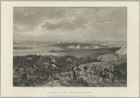
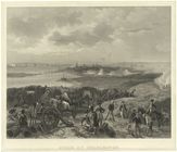
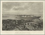
Siege of Charleston
Charleston S.C. in 1780
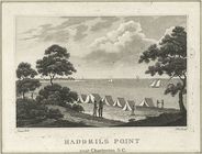
Haddrils Point near Charlesto…
A glimpse of Charleston and b…
St. Phillip's Church Charlest…
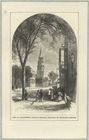
View in Charleston, South Car…
Charles Town, South Carolina
A view of Charles-Town, the c…
A view of Charles Town the Ca…
Charles Town from the south S…
Siege of Charleston
A view of Charles Town the Ca…
A NW view of Charlestown from…
Siege of Charleston
An exact prospect of Charles …
Charlestown, South Carolina
Charles Town, form the south …