Click to visit the main New York Public Library Homepage
The New York Public Library
Digital Collections
About Digital Collections
Browse
Search only public domain materials
Items
Collections
Divisions
Home
Search
Browse
About
Search only public domain materials
Items
Collections
Divisions
Digital Collections
Using Images
Using Data
Search
Filtered search
Show filters
Hide filters
Show Only Public Domain
topic
Administrative and political divisions
20
Maple sugar industry
20
Railroads
19
Canals
10
Roads
8
More
Less
name
Styles, A. F. (Adin French), 1832-1910
34
Clifford, D. A. (Daniel A.), 1826-1887
30
Gage, F. B. (Franklin Benjamin), 1824-1874
25
Freeman, C. H
22
Allen, H. S. (Henry S.), active 1880-1890
21
More
Less
collection
Robert N. Dennis collection of stereoscopic views
477
Detroit Publishing Company postcards
51
Maps of North America
24
Maps of New York City and State
20
Photographic views of the United States
6
More
Less
place
x
Vermont
Brattleboro (Vt.)
38
Montpelier (Vt.)
32
Burlington (Vt.)
27
Bellows Falls (Vt.)
26
More
Less
genre
Photographs
485
Stereographs
477
Postcards
51
Maps
47
Prints
4
More
Less
publisher
Detroit Publishing Company
51
A. F. Styles
33
E. & H. T. Anthony
23
Kilburn Brothers
17
J. N. Webster
12
More
Less
division
Wallach Division: Photography Collection
530
Map Division
47
Milstein Division
6
Wallach Division: Print Collection
2
Wallach Division: Picture Collection
1
type
still image
542
cartographic
47
text
1
Date Range
to
587 results found
Filtering on:
x
Date
: 1777 - 1899
x
Place
: Vermont
Sort by:
Title
Date created
Date digitized
Sequence
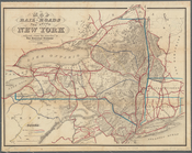
Map of the state of New York:…
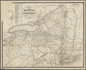
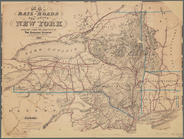
Map of the rail roads of the …
Map of the rail-roads of the …
Map of the rail roads of the …
Map of New England, with adja…
m
A correct map of the state of…
Johnson's Vermont and New Ham…
Map of the state of Vermont
Brattleboro and vicinity : co…
Plan of the action at Huberto…
Map of the state of Vermont
Position of the detachment un…
Vermont, from actual survey :…
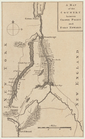
Map of Bennington County, Ver…
A plan of the town of Pittsfo…
Rand, McNally & Co.'s Vermont
Plan of the action of Huberto…
Johnson's Vermont, New Hampsh…
Railroad and post office map …
Map of New England with adjac…
Part of the third l. h. distr…
New Hampshire & Vermont
New Hampshire & Vermont
m
A map of the most inhabited p…
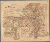
Map of New York
m
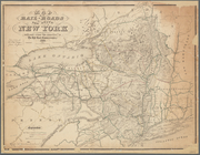
Map of the rail-roads of the …
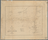
Engineers map of the state of…
Map of the rail roads of the …
A map of the county between C…
Map of the meetings constitut…
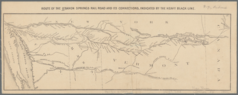
Route of the Lebanon Springs …
Map of the state of New York …
Map of the rail-roads of the …
Map of the rail-roads of the …
m
Map of Lake Champlain, Fifth …
m
A map of Cabotia: comprehendi…
NE sheet of map of North Amer…
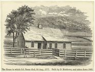
The house in which Col. Baum …
Carte de la Nouvelle York : y…
Map of the meetings constitut…
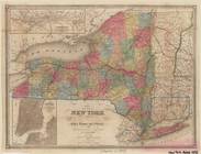
The state of New York : with …
m
The state of New York : with …
A new and accurate map of the…
The state of New York : with …
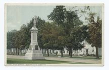
Main Street, Manchester, Vt.
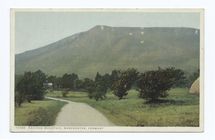
Equinox Mountain, Manchester,…
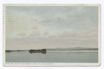
Ball Island and Vermont Shore…
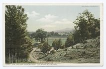
New England Country Road, Bur…
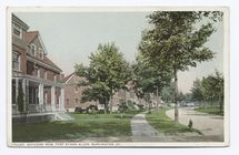
Officers Row, Fort Ethan Alle…
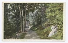
Split Rock Road, Burlington, …
1
2
3
Previous
Next
1
2
3
Previous
Next