Click to visit the main New York Public Library Homepage
The New York Public Library
Digital Collections
About Digital Collections
Browse
Search only public domain materials
Items
Collections
Divisions
Home
Search
Browse
About
Search only public domain materials
Items
Collections
Divisions
Digital Collections
Using Images
Using Data
Search
Filtered search
Show filters
Hide filters
Show Only Public Domain
topic
Nautical charts
25
Tourism
14
Wading
9
Beaches
8
Navigation
7
More
Less
name
United States Coast Survey
21
Bache, A. D. (Alexander Dallas), 1806-1867
18
Pach, G. W. (Gustavus W.), 1845-1904
11
Bradley, S. W. (Engraver)
4
Almy, John Jay, 1815-1895
3
More
Less
collection
Maps of North America
23
Robert N. Dennis collection of stereoscopic views
21
Maps of the Oceans
6
Lawrence H. Slaughter Collection of English maps, charts, globes, books and atlases
5
Maps of New York City and State
2
More
Less
place
x
Atlantic Ocean
New Jersey
21
Asbury Park (N.J.)
9
Ocean Grove (N.J.)
9
North Atlantic Ocean
8
More
Less
genre
Maps
36
Photographs
21
Stereographs
21
Nautical charts
20
Bathymetric maps
13
More
Less
publisher
U.S. Coast Survey
12
United States Coast Survey
5
U.S. Coast Survey Office
3
C.P. Wayne
1
Deposito Hidrografico
1
More
Less
division
Map Division
36
Wallach Division: Photography Collection
21
General Research Division
1
type
cartographic
37
still image
21
Date Range
to
58 results found
Filtering on:
x
Date
: 1778 - 1880
x
Place
: Atlantic Ocean
Sort by:
Title
Date created
Date digitized
Sequence
Preliminary sketch showing th…
Preliminary chart of part of …
Reconnaissance of New River a…
Preliminary sketch of Chincot…
Reconnoissance of the entranc…
Middle part of Long Island So…
Preliminary chart of Port Roy…
Albemarle Sound, N. Carolina,…
Albemarle Sound, N. Carolina,…
Preliminary chart of the sea …
Beaufort Harbour, North Carol…
Sketch of Ocracoke Inlet, Nor…
Tidal currents of Long Island…
Reconnaissance of Doboy Bar a…
Chart of Narraganset Bay : su…
Narraganset Bay: [Rhode Islan…
A map of part of Rhode Island…
Preliminary chart of Stellwag…
Harbor of Refuge, Dutch Islan…
Balloon view -- Provincetown …
Preliminary chart of Mount Ho…
Preliminary sketch showing th…
Tidal currents of Nantucket S…
Preliminary chart of Bass Riv…
Nantucket Sound: western part
[A Chart of the Atlantic or W…
Annual passage of the herring…
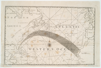
Chart of the Atlantic Ocean.
A Chart of the Atlantic or We…
Bowles's new pocket map of th…
m
Cape May, N.J. [View of the B…
m
Cape May, N.J. [View of wader…
m
Cape May, N.J. [View of wader…
m
Cape May, N.J. [View of wader…
m
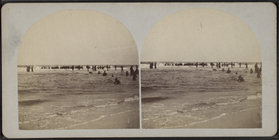
Cape May, N.J. [Beach scene.]
m
Cape May, N.J. [View of wader…
m
Cape May, N.J.
m
Beach and bathing scene.
m
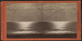
Atlantic Ocean.
m
Atlantic Ocean.
m
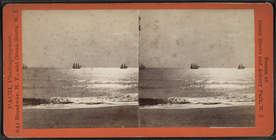
Atlantic Ocean. Sailboats in …
m
Atlantic Ocean.
m
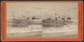
Atlantic Ocean. [View of sail…
m
Atlantic Ocean.
m
each scene and bathers.
m
iew of the ocean.
m
Long Branch, N.J. [View of th…
m
Atlantic Ocean.
m
View of the Atlantic Ocean, f…
m
Long Branch Beach."