Click to visit the main New York Public Library Homepage
The New York Public Library
Digital Collections
About Digital Collections
Browse
Search only public domain materials
Items
Collections
Divisions
Home
Search
Browse
About
Search only public domain materials
Items
Collections
Divisions
Digital Collections
Using Images
Using Data
Search
Filtered search
Show filters
Hide filters
Show Only Public Domain
topic
Forts & fortifications
21
Homes and haunts
18
History
16
Nautical charts
6
United States -- 1700-1799
5
More
Less
name
Palmer, J. A
35
Nowell, F. A
33
Barnard, George N., 1819-1902
27
Drayton, John G. (John Grimke), 1815-1891
17
Havens, O. Pierre, 1838-1912
16
More
Less
collection
Robert N. Dennis collection of stereoscopic views
232
Maps of North America
23
Wallach Division Picture Collection
11
Emmet Collection of Manuscripts Etc. Relating to American History
3
Forty etchings, from sketches made with the camera lucida, in North America, in 1827 and 1828
2
More
Less
place
x
South Carolina
Charleston (S.C.)
136
Charleston
28
Southern States
25
United States
18
More
Less
genre
Photographs
233
Stereographs
232
Maps
26
Prints
11
Conjectural works
8
More
Less
publisher
G. N. Barnard
27
J. A. Palmer
24
F. A. Nowell
22
O. Pierre Havens
15
Quinby & Co
12
More
Less
division
Wallach Division: Photography Collection
232
Map Division
26
Wallach Division: Picture Collection
11
Wallach Division: Print Collection
7
Milstein Division
3
More
Less
type
still image
254
cartographic
26
text
6
Date Range
to
283 results found
Filtering on:
x
Date
: 1786 - 1855
x
Place
: South Carolina
Sort by:
Title
Date created
Date digitized
Sequence
Bill of sale for mulatto man …
Document
To accompany Willard's histor…
Map of comparison of Maffitt'…
m
Charleston District, South Ca…
m
The city of Charleston, South…
Plan of the siege of Charlest…
The state of South Carolina :…
Preliminary survey of Winyah …
Preliminary chart of North Ed…
Plan of the siege of Charlest…
Sketch E showing the progress…
A plan of Charles town
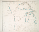
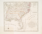
Map of the states of North & …
North and South Carolina
Plan of the battle fought nea…
Plan of the old fort at Dorch…
m
A map of South Carolina : con…
Reconnaissance of Port Royal …
Preliminary chart of Winyah B…
m
Charleston Harbour and the ad…
m
Map of the states of North Ca…
m
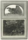
No. XIX. Rice fields in South…
m
No. XVII. Bridge across the C…
A map of Mexico, Louisiana, a…
United States of Nth. America…
A map of the states of Virgin…
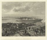
Siege of Charleston
South Carolina.
Battle of King's Mountain.
m
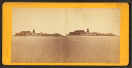
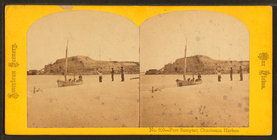
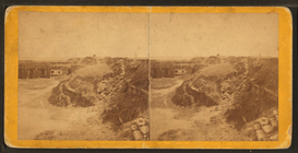
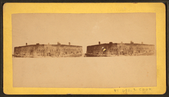
Fort Sumter, 1861.
m
Fort Sumter, Charleston Harbo…
m
Fort Sumter in 1872.
m
Interior Fort Moultrie [?], 1…
m
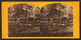
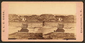
The 30 lb. [...] parrot guns …
m
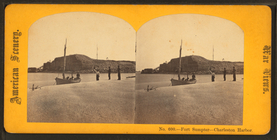
Fort Sumpter [Sumter], Charle…
m
Fort Sumpter [Sumter], Charle…
m
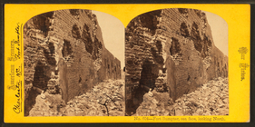
Fort Sumpter [Sumter], sea fa…
m
Fort Sumpter [Sumter], sea fa…
m
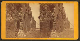
Fort Sumpter [Sumter]. The in…
m
Fort Moultrie.
m
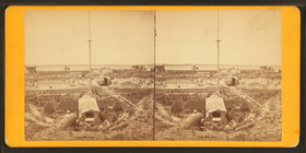
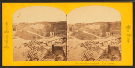
Interior of Fort Sumter, 1863…
m
Fort Sumter, 1861.
m
Fort Sumter, 1861.
m
Fort Sumter, 1865.
m
Interior view of Fort Sumter,…
m
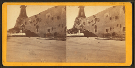
East face of Fort Sumter, Cha…
m
View of Fort Sumter, Charlest…
m
Where the Civil War began - F…
m
Fort Sumter.
1
2
Previous
Next
1
2
Previous
Next