Click to visit the main New York Public Library Homepage
The New York Public Library
Digital Collections
About Digital Collections
Browse
Search only public domain materials
Items
Collections
Divisions
Home
Search
Browse
About
Search only public domain materials
Items
Collections
Divisions
Digital Collections
Using Images
Using Data
Search
Filtered search
Show filters
Hide filters
Show Only Public Domain
topic
Post roads
14
History
5
Nautical charts
5
Waterfalls
5
Pilot guides
3
More
Less
name
Bridges
14
Goodrich, A. T. (Andrew Thompson), 1789-1845
14
Rollinson, William, 1762-1842
14
Milbert, Jacques Gérard, 1766-1840
6
Blunt, Edmund M. (Edmund March), 1770-1862
5
More
Less
collection
Atlases of the United States
14
Maps of North America
8
Lawrence H. Slaughter Collection of English maps, charts, globes, books and atlases
7
The Eno collection of New York City views
5
Emmet Collection of Manuscripts Etc. Relating to American History
3
More
Less
place
x
New Jersey
New York (N.Y.)
22
New York (State)
20
Hudson River Valley (N.Y. and N.J.) -- Maps
15
Hudson River (N.Y. and N.J.) -- Maps
14
More
Less
genre
Maps
35
Prints
15
Atlases
14
Cityscape prints
1
Conjectural works
1
More
Less
publisher
Published by A.T. Goodrich, 124 Broad Way
14
Henry Gaugain et Cie
3
Pub. by E.M. Blunt for W. Hooker
3
C. P. Wayne
2
Ecksteinska tryckeriet
2
More
Less
division
Map Division
33
Wallach Division: Print Collection
11
Rare Book Division
6
Wallach Division: Picture Collection
2
type
cartographic
34
still image
18
Date Range
to
52 results found
Filtering on:
x
Date
: 1801 - 1831
x
Place
: New Jersey
Sort by:
Title
Date created
Date digitized
Sequence
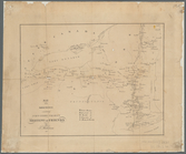
Map of the American Coast, fr…
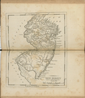
New Jersey
Map of the meetings constitut…
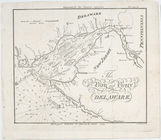
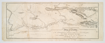
The bay and river of Delaware
New Jersey
Road from Philadela. to New Y…
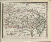
Pennsylvania and New Jersey.
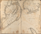
Entrance to New York Bay from…
Nautical chart of Little Egg …
The Bay and river of Delaware
A geological section of the c…
Map and profile of the Champl…
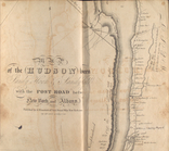
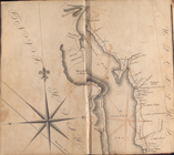
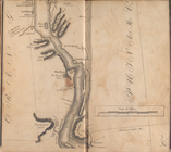
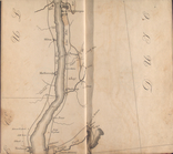
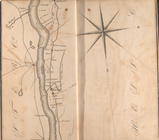
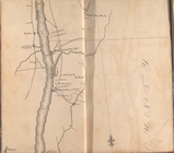
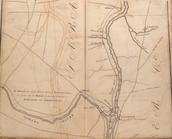
Map of the Hudson ... from Sa…
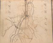
Map of the Hudson ... from Ne…
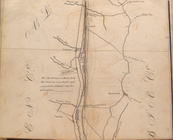
Map of the Hudson ... from Sp…
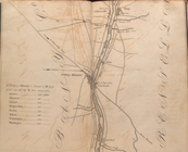
Map of the Hudson ... from Ta…
Map of the Hudson ... from Pe…
Map of the Hudson ... from Ne…
Map of the Hudson ... from Po…
Map of the Hudson ... from Rh…
Map of the Hudson ... from Ge…
Map of the Hudson ... from Co…
Map of the Hudson ... from Ca…
Map of the Hudson ... from La…
Map of the Hudson ... from Be…
Map of the Hudson ... from Ft…
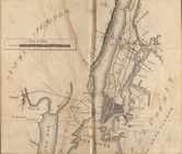
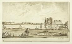
Hoboken in New Jersey, the se…
View of New York, from Jersey…
Map of the state of New-York …
A map of the state of New Jer…
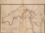
Line of the Morris Canal, New…
Map of Pennsylvania and New J…
Nautical chart of Little Egg …
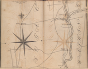
A plan of the northern part o…
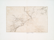
A map of the country from Rar…
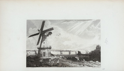
Passaic Falls in the state of…
Vue d'amboy et du steam-boat.
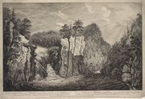
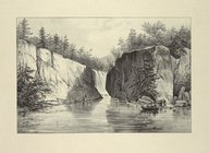
A view of the Falls on the Pa…
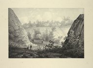
Commencement of Passaic Falls
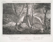
Passaic Falls
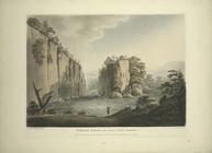
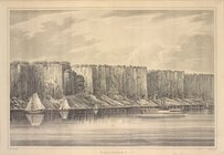
Palisades
Schooley's Springs
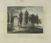
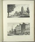
Elysian fields, Hoboken (New …
Battle of Assunpink
View of New York, from Jersey…
A map of the country from Rar…
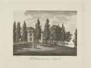
Hoboken midt emot Newyork
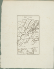
New York med trakten däromkri…
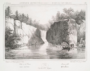
No. 45. Passaic Falls.
No. 48. Falls near Schooley's…