Click to visit the main New York Public Library Homepage
The New York Public Library
Digital Collections
About Digital Collections
Browse
Search only public domain materials
Items
Collections
Divisions
Home
Search
Browse
About
Search only public domain materials
Items
Collections
Divisions
Digital Collections
Using Images
Using Data
Search
Filtered search
Show filters
Hide filters
Show Only Public Domain
topic
Landowners
3
Nautical charts
3
Real property
3
Canals
2
World maps
2
More
Less
name
Burr, David H., 1803-1875
4
De Witt, Simeon, 1756-1834
4
Rawdon, Clark & Co
4
Rawdon, Wright & Co
4
Melish, John, 1771-1822
3
More
Less
collection
Maps of North America
7
Atlases of the United States
4
Atlases, gazetteers, guidebooks and other books
3
Maps of New York City and State
3
Maps of the World
2
More
Less
place
x
Maps
New York (N.Y.)
6
New York (State)
6
New Jersey
3
Administrative and political divisions
2
More
Less
genre
Maps
23
Atlases
4
publisher
J. Melish
3
D. H. Burr
2
Stone and Clark
2
William C. Woodbridge
2
A. Lay],
1
More
Less
division
Map Division
21
Schomburg Jean Blackwell Hutson Research and Reference Division
2
type
cartographic
22
still image
1
text
1
Date Range
to
23 results found
Filtering on:
x
Date
: 1818 - 1830
x
Place
: Maps
Sort by:
Title
Date created
Date digitized
Sequence
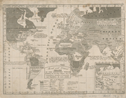
Isothermal chart, or, View of…
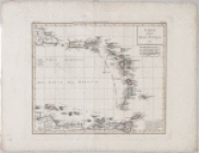
Carta delle Isole Antille
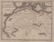
Africa antiqua
Long Island Sound from New Yo…
A geological section of the c…
Hooker's new pocket plan of t…
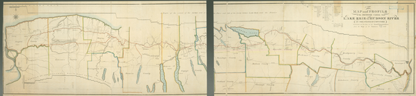
A new map and profile of the …
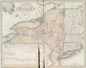
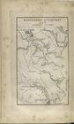
Map of the state of New-York …
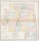
Map of the county of Herkimer
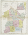
Map of the counties of Albany…
Map of the counties of Ontari…
Map of the state of New-York …
United States.
The travellers pocket map of …
Geographical & statistical ma…
Map of North America : exhibi…
Carte physique et politique d…
Nautical chart of Little Egg …
m
A chart of the Atlantic or We…
Moral and political chart of …
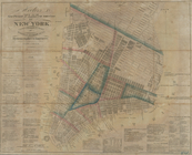
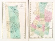
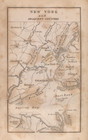
New York and adjacent country.
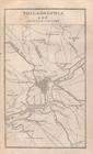
Philadelphia and adjacent cou…
Baltimore, Annapolis, and adj…
End of results
|
Top