Click to visit the main New York Public Library Homepage
The New York Public Library
Digital Collections
About Digital Collections
Browse
Search only public domain materials
Items
Collections
Divisions
Home
Search
Browse
About
Search only public domain materials
Items
Collections
Divisions
Digital Collections
Using Images
Using Data
Search
Filtered search
Show filters
Hide filters
Show Only Public Domain
topic
Cliffs
30
Nautical charts
11
Railroads
9
Houses
8
Canals
7
More
Less
name
Tanner, Henry Schenck, 1786-1858
7
United States Coast Survey
7
Blunt, Edmund M. (Edmund March), 1770-1862
6
Hassler, F. R. (Ferdinand Rudolph), 1770-1843
6
Milbert, Jacques Gérard, 1766-1840
6
More
Less
collection
Robert N. Dennis collection of stereoscopic views
33
Maps of North America
20
Maps of New York City and State
13
Wallach Division Picture Collection
8
Lawrence H. Slaughter Collection of English maps, charts, globes, books and atlases
5
More
Less
place
x
New Jersey
New York (State)
36
Hudson River (N.Y. and N.J.)
35
Palisades (N.J. and N.Y.)
30
New York (N.Y.)
18
More
Less
genre
Maps
40
Photographs
33
Stereographs
33
Prints
16
Conjectural works
4
More
Less
publisher
H.S. Tanner
3
Henry Gaugain et Cie
3
Pub. by E.M. Blunt for W. Hooker
3
Survey of the Coast of the United States
3
The Survey
3
More
Less
division
Map Division
39
Wallach Division: Photography Collection
33
Wallach Division: Print Collection
10
Wallach Division: Picture Collection
8
Rare Book Division
5
type
still image
55
cartographic
40
Date Range
to
95 results found
Filtering on:
x
Date
: 1822 - 1852
x
Place
: New Jersey
Sort by:
Title
Date created
Date digitized
Sequence
Showing the progressive chang…
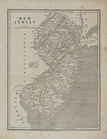
New Jersey
A new county map of the state…
180 lots on the Marsellis Tra…
Van Der Donck's map of New Ne…
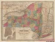
Map of the state of New York …
Map of Newark and East Newark…
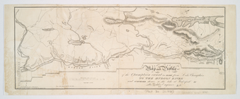
A chart of the bar of Sandy H…
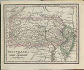
Pennsylvania and New Jersey.
Entrance to New York Bay from…
Nautical chart of Little Egg …
The Bay and river of Delaware
Map of New-York Bay and Harbo…
Map of New-York Bay and Harbo…
m
Map of New-York Bay and Harbo…
m
An improved map of the Hudson…
Hudson River & vicinity
Map of the Hudson River from …
m
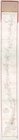
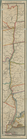
Map of the Hudson River Rail …
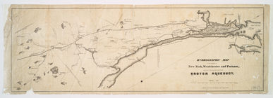
Hydrographic map of the count…
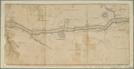
Map and profile of the Champl…
m
Hudson River & vicinity
m
Map of New-York Bay and Harbo…
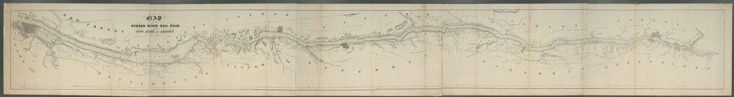
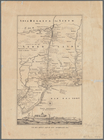
New Jersey.
New Jersey.
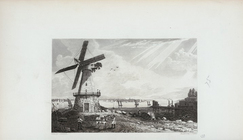
View of New York, from Jersey…
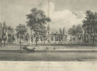
College of Princeton, New Jer…
m
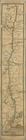
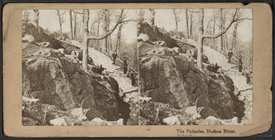
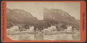
Landing Palisades, Hudson Riv…
m
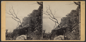
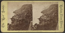
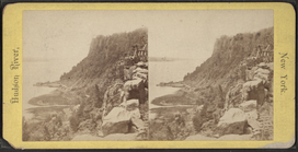
The Palisades, Hudson River.
m
Palisades, looking south.
m
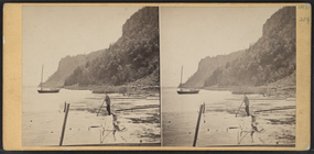
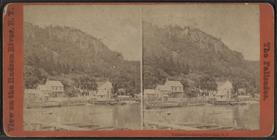
Palisades from Huyler's Landi…
m
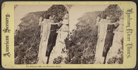
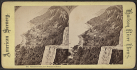
The Palisades from the Mounta…
m
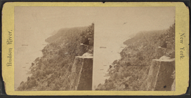
Profile view of Palisades, lo…
m
The Palisades from the Mounta…
m
The Palisades from the Mounta…
m
Englewood Cliffs.
m
The Palisades from the Mounta…
m
The Hudson, The Palisades.
m
West Point from Fort Putnam.
m
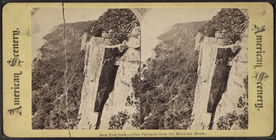
Pulpit Rock, Alpine.
m
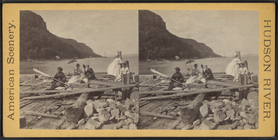
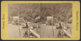
Boomer's Landing foot of the …
m
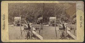
Boomer's Landing. 'The Rowing…
m
Boomer's Landing. 'The Rowing…
m
The Palisades and Englewood L…
m
Palisades, above Fort Lee, N.…
m
Palisades, above Fort Lee, N.…
m
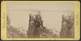
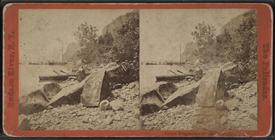
Fallen fragments of the Palis…
m
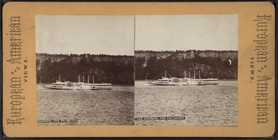
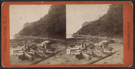
Portion of the Wrecked Steame…
m
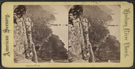
Profile view of Palisades, lo…
m
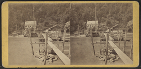
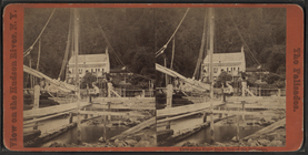
View at the Ferry Dock, foot …