Click to visit the main New York Public Library Homepage
The New York Public Library
Digital Collections
About Digital Collections
Browse
Search only public domain materials
Items
Collections
Divisions
Home
Search
Browse
About
Search only public domain materials
Items
Collections
Divisions
Digital Collections
Using Images
Using Data
Search
Filtered search
Show filters
Hide filters
Show Only Public Domain
topic
Parks
1239
Buildings, structures, etc
389
Historic buildings
389
Real property
359
Streets
250
More
Less
name
E. & H.T. Anthony (Firm)
494
Wurts Bros. (New York, N.Y.)
390
Perris, William
258
Chase, W. M. (William M.), approximately 1818-1901
172
Perris & Browne
130
More
Less
collection
Robert N. Dennis collection of stereoscopic views
2236
Photographic views of New York City, 1870's-1970's, from the collections of the New York Public Library
489
Collection of photographs of New York City
389
Atlases of New York City
330
Maps of New York City and State
207
More
Less
place
x
Manhattan (New York, N.Y.)
New York (State)
3355
New York (N.Y.)
3348
New York
3054
Central Park (New York, N.Y.)
1037
More
Less
genre
Photographs
3114
Stereographs
2236
Maps
569
Cadastral maps
47
Manuscript maps
17
More
Less
publisher
Perris & Browne
124
William Perris
105
G.W. Bromley & Co
49
E. & H.T. Anthony (Firm)
33
E. Robinson Co
24
More
Less
division
Wallach Division: Photography Collection
2236
Milstein Division
879
Map Division
441
Wallach Division: Print Collection
9
Wallach Division: Picture Collection
2
More
Less
type
still image
3126
cartographic
572
text
21
Date Range
to
3,700 results found
Filtering on:
x
Date
: 1836 - 1895
x
Place
: Manhattan (New York, N.Y.)
Sort by:
Title
Date created
Date digitized
Sequence
m
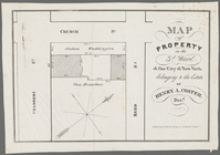
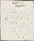
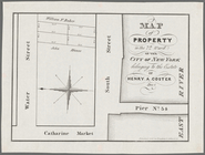
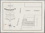
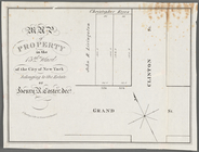
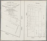
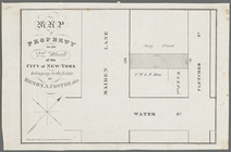
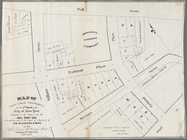
Maps of property in the city …
New-York City, County, and vi…
Sketch map of the city of New…
New map of the great metropol…
Map of the Harlem River and S…
m
Taunton new guide map and dir…
m
Sanitary & topographical map …
m
Topographical map of New York…
Map of the 23rd and 24th ward…
City guide
Map of New York City : showin…
Dutch traders at Manhattan
m
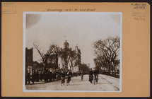
Manhattan: Broadway - 61st St…
m
A map shewing the extent of t…
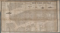
New York City Map
m
Fr. Brooklyn Bridge.
Horatio Street, Hudson Street…
Gansevoort Street, 9th Avenue…
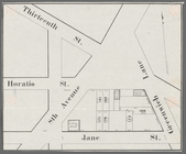
Jane Street, Eighth Avenue, T…
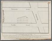
Thirteenth Street, Greenwich …
m
Hammond Street, Perry Street,…
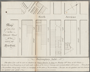
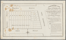
Peremptory sale these 15 valu…
Executors sale of part of the…
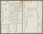
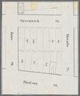
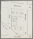
Hudson Street, Horatio Street…
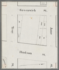
Greenwich Street, Troy Street…
m
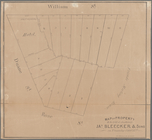
Map of 19 lots in the fifteen…
Map of property in the 9th wa…
13 lots of ground to be sold …
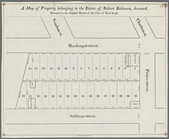
A map of property belonging t…
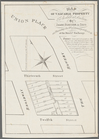
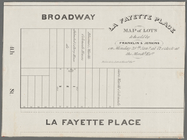
La Fayette Place map of lots …
Map of property in the eleven…
m
Map of valuable property to b…
m
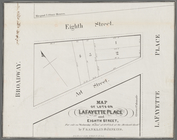
Map of lots on Lafayette Plac…
m
Peremptory sale of lots, on T…
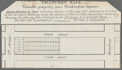
Chancery sale, valuable prope…
m
Map of a water grant between …
Map of property in the 7th Wa…
Map of property in the 4th Wa…
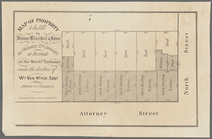
Map of property to be sold by…
Map of property in the 13th W…
Valuable property to be sold …
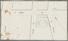
Broadway, Prince Street, Cros…
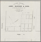
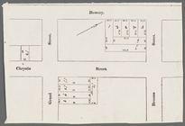
Bowery, Chrystie Street, Gran…
m
Map of property in the 3d War…
Executors sale of valuable re…
Map of property in the 2nd wa…
Map of property to be sold at…
Map of valuable property in t…
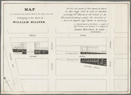
Map of lots & buildings as sh…
Map of property in the 1st wa…
1
2
3
4
5
6
7
8
9
10
…
14
15
Previous
Next
1
2
3
4
5
6
7
8
9
10
…
14
15
Previous
Next