Click to visit the main New York Public Library Homepage
The New York Public Library
Digital Collections
About Digital Collections
Browse
Search only public domain materials
Items
Collections
Divisions
Home
Search
Browse
About
Search only public domain materials
Items
Collections
Divisions
Digital Collections
Using Images
Using Data
Search
Filtered search
Show filters
Hide filters
Show Only Public Domain
topic
x
Rivers
Waterfalls
431
Canyons
45
Mountains
45
Bridges
24
More
Less
name
Barker, George, 1844-1894
350
E. & H.T. Anthony (Firm)
49
Stoddard, Seneca Ray, 1844-1917
40
Watkins, Carleton E., 1829-1916
22
Auchmoody, D. J
11
More
Less
collection
Robert N. Dennis collection of stereoscopic views
592
"The Pageant of America" Collection
30
Wallach Division Picture Collection
26
Maps of New York City and State
14
Maps of North America
11
More
Less
place
New York (State)
476
Niagara Falls (N.Y. and Ont.)
396
Ontario
396
New Hampshire
67
Niagara River (N.Y. and Ont.)
46
More
Less
genre
Photographs
651
Stereographs
594
Prints
34
Maps
25
Landscape prints
11
More
Less
publisher
S.R. Stoddard
40
D. J. Auchmoody
11
Fisher, Son, & Co
5
T.W. Ingersoll
4
U.S. Coast Survey
4
More
Less
division
Wallach Division: Photography Collection
638
Map Division
26
Wallach Division: Picture Collection
24
Wallach Division: Print Collection
11
Wallach Division: Art & Architecture Collection
10
More
Less
type
still image
708
cartographic
25
text
2
Date Range
to
733 results found
Filtering on:
x
Date
: 1840 - 1864
x
Topic
: Rivers
Sort by:
Title
Date created
Date digitized
Sequence
m
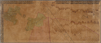
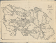
Topographical map of New York…
m
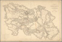
Map of the City of Brooklyn a…
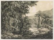
Tropical forest at river's ed…
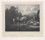
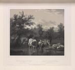
Scene of cow drinking at a st…
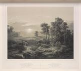
After evening, original by Pi…
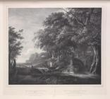
Scene of trees and a stream, …
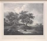
After torrent with oak trees,…
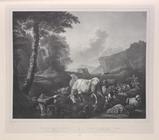
Scene of cattle and sheep dri…
Aus dem Hirtenleben in Hollan…
Die Flucht nach Egypten.
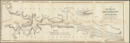
Rappahannock River, Virginia …
Rappahannock River, Virginia …
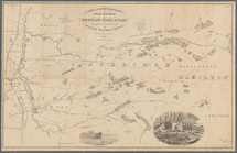
Operations on the Hudson River
Johnson's map of the vicinity…
m
Preliminary chart of Savannah…
Preliminary chart of St. John…
Preliminary chart of St. Mark…
Preliminary chart of St. John…
Reconnaissance of the bar and…
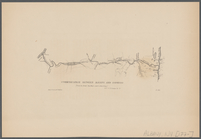
Communication between Albany …
Map of a section of the Andro…
Map of a section of the Cobbe…
Topographical map showing the…
Topographical map showing the…
m
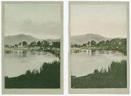
River Itchen near Winchester.
m
Looking up the River Teith.
Lakes and reservoirs, head wa…
Map of Byram River from its m…
Map of North America showing …
Distance map of the state of …
Neues Reich. Dynastie. XIX. T…
Distance map of the state of …
Map of the consolidated city …
Map of the consolidated city …
m
Higginson's plan of the city …
Map of the City of New York, …
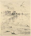
Les hirondelles.
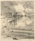
Les hirondelles.
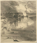
Les hirondelles.
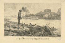
Les canards l'ont bien passée.
Les canards l'ont bien passée.
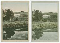
À droite, une rivière...
Bords d'une rivière.
Cours de la Doufine
The Merrimac.
m
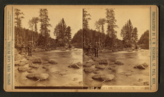
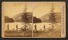
Where we catch them.
m
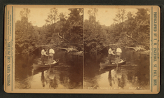
Fishing at white water rapids.
m
A favorite hole, Brule Riv.
m
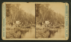
Boats and canoes landing at C…
m
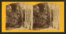
Left bank, Munising River, Gr…
1
2
3
Previous
Next
1
2
3
Previous
Next