Click to visit the main New York Public Library Homepage
The New York Public Library
Digital Collections
About Digital Collections
Browse
Search only public domain materials
Items
Collections
Divisions
Home
Search
Browse
About
Search only public domain materials
Items
Collections
Divisions
Digital Collections
Using Images
Using Data
Search
Filtered search
Show filters
Hide filters
Show Only Public Domain
topic
Nautical charts
2
Coasts
1
Ocean travel
1
Railroads
1
Transportation
1
More
Less
name
Bache, A. D. (Alexander Dallas), 1806-1867
2
Cutts, R. D. (Richard Dominicus), 1817-1883
2
Ensigns & Thayer
2
Ferguson, James, 1710-1776
2
Humphreys, A. A. (Andrew Atkinson), 1810-1883
2
More
Less
collection
Maps of North America
9
Maps of New York City and State
7
Africa: North Eastern sheet
1
Maps of the Oceans
1
Maps of the World
1
More
Less
place
x
Maps
Brooklyn (New York, N.Y.)
6
United States
6
Distances, etc
2
Maps, Tourist
2
More
Less
genre
Maps
20
publisher
Published by Ensigns & Thayer, 36 Ann Street
2
... bei Gebrüder Locher, in Commission bei Huber & Cie
1
Charles Magnus
1
Endicott
1
General Land Office?,
1
More
Less
division
Map Division
18
Schomburg Jean Blackwell Hutson Research and Reference Division
2
type
cartographic
20
Date Range
to
20 results found
Filtering on:
x
Date
: 1846 - 1860
x
Place
: Maps
Sort by:
Title
Date created
Date digitized
Sequence
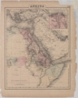
Africa: North Eastern sheet
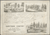
Tarrytown Cemetery at Sleepy …
m
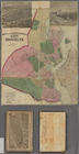
Map of Consolidated City Broo…
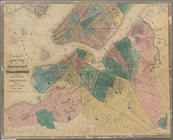
Map of the cities of Brooklyn…
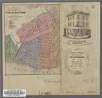
Map of the City of Williamsbu…
m
Greenwood cemetery.
m
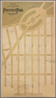
Map of lots near Prospect Par…
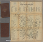
Map of the Cities of Brooklyn…
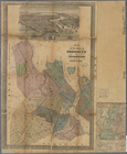
United States
Skeleton map of rail-roads be…
Mouth of Chester River : (Har…
City of Washington.
Phelps's Karte der Vereinigte…
Ensign's Travellers' guide an…
Map of the United States show…
Phelps's national map of the …
The harbor of Annapolis
Republic of Liberia
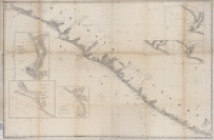
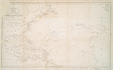
Chart shewing the tracks acro…
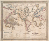
The world, on Mercator's proj…
End of results
|
Top