Click to visit the main New York Public Library Homepage
The New York Public Library
Digital Collections
About Digital Collections
Browse
Search only public domain materials
Items
Collections
Divisions
Home
Search
Browse
About
Search only public domain materials
Items
Collections
Divisions
Digital Collections
Using Images
Using Data
Search
Filtered search
Show filters
Hide filters
Show Only Public Domain
topic
Houses
60
Beaches
48
Hotels
36
Families
29
Carriages & coaches
28
More
Less
name
Williams, Joshua Appleby
80
Baker, Leander, approximately 1842-1925
47
Soule, John P
40
Alden, A. J
19
Alden, Augustus Ephraim, 1837-1914
19
More
Less
collection
Robert N. Dennis collection of stereoscopic views
550
Maps of North America
42
Detroit Publishing Company postcards
13
Wallach Division Picture Collection
13
Emmet Collection of Manuscripts Etc. Relating to American History
10
More
Less
place
x
Rhode Island
Newport (R.I.)
300
Providence (R.I.)
129
Warwick (R.I.)
46
Block Island (R.I. : Island)
34
More
Less
genre
Photographs
561
Stereographs
550
Maps
44
Postcards
13
Prints
13
More
Less
publisher
J. A. Williams
77
Detroit Publishing Company
13
publisher not identified
6
Geo. H. Walker & Co
4
Railroad Commissioners?
3
More
Less
division
Wallach Division: Photography Collection
568
Map Division
44
Wallach Division: Picture Collection
13
Wallach Division: Print Collection
12
Milstein Division
6
More
Less
type
still image
601
cartographic
44
notated music
1
text
1
Date Range
to
646 results found
Filtering on:
x
Date
: 1850 - 1898
x
Place
: Rhode Island
Sort by:
Title
Date created
Date digitized
Sequence
Map of the Rhode Island state…
Map of Conanicut Island, oppo…
Map of the railroads of Conne…
Map of New England, with adja…
Map showing the New York and …
Map showing the line of the N…
m
Map of principal portion of P…
m
Eastern part of Long Island S…
m
Map of the State of Rhode Isl…
Topographical map of the stat…
Map of Newport, R.I.
A map of the town of Providen…
Map showing the rearrangement…
Rhode Island
Map of the city of Newport an…
Johnson's Vermont, New Hampsh…
Railroad and post office map …
Colton's railroad & township …
Southern New England
Johnson's Massachusetts, Conn…
Massachusetts, Connecticut an…
Southern New England and New …
Map of Massachusetts, Rhode I…
Map of the city of Newport an…
Rand, McNally & Co.'s Rhode I…
Harbor of Refuge, Dutch Islan…
Map of the town of Tiverton, …
Narragansett Bay and vicinity
State of Rhode Island
Preliminary chart no. 4 of th…
m
Watson's new topographical, t…
Map of Bristol County, Rhode …
Map of the New York & Boston …
Map of New England with adjac…
Map of Providence
Unfinished proof of Narragans…
Map of Castle Hill & Price's …
Map of Block Island
Geo. W. Eldridge's chart B: N…
m
Watson's new topographical, t…
Map of the coast of Massachus…
Map of the railroads of Conne…
Map of the railroads of Conne…
Eastern part of the southern …
m
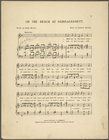
On the beach at Narragansett
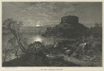
Old Fort Dumpling, Newport.
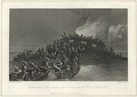
Destruction of the schooner G…
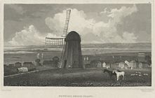
Newport, Rhode Island.
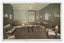
Reception Room, Crown Hotel, …
Bedroom, Crown Hotel, Provide…
1
2
3
Previous
Next
1
2
3
Previous
Next