Click to visit the main New York Public Library Homepage
The New York Public Library
Digital Collections
About Digital Collections
Browse
Search only public domain materials
Items
Collections
Divisions
Home
Search
Browse
About
Search only public domain materials
Items
Collections
Divisions
Digital Collections
Using Images
Using Data
Search
Filtered search
Show filters
Hide filters
Show Only Public Domain
topic
x
Railroads
Administrative and political divisions
231
Surveying
81
Explorers
79
Roads
70
More
Less
name
Stanton, Robert Brewster, 1846-1922
79
Rand McNally and Company
70
Portland & Ogdensburg Railroad Company
51
E. & H.T. Anthony (Firm)
43
Fotografiia Engelia
38
More
Less
collection
Maps of North America
401
Robert N. Dennis collection of stereoscopic views
263
Maps of New York City and State
245
Cigarette cards
149
Robert Brewster Stanton papers
79
More
Less
place
New York (State)
348
United States
161
New York
153
New York (N.Y.)
114
New Hampshire
101
More
Less
genre
Maps
647
Photographs
454
Stereographs
263
Trade cards
154
Advertisements
149
More
Less
publisher
publisher not identified
48
Fotografiia Engelia
38
G.W. & C.B. Colton & Co
31
Rand, McNally & Co
24
G. F.Gates
18
More
Less
division
Map Division
645
Wallach Division: Photography Collection
373
George Arents Collection
149
Manuscripts and Archives Division
86
General Research Division
21
More
Less
type
still image
676
cartographic
646
text
174
notated music
8
Date Range
to
1,333 results found
Filtering on:
x
Date
: 1850 - 1904
x
Topic
: Railroads
Sort by:
Title
Date created
Date digitized
Sequence
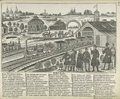
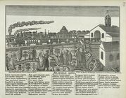
Pesnia. 'Bliz Krasnykh Vorot …
Zheleznaia doroga.
Lloyd's topographical map of …
Map of the borough of Brookly…
Rand, McNally & Co.'s new aut…
m
Rand, McNally & Co.'s complet…
Erie Railroad suburban lines
Rand McNally standard map of …
Rand, McNally & Co.'s new han…
Map of New York City region a…
Map of the City of New York :…
Center of New York, first cit…
Map of the City of New York a…
Map of the country thirty thr…
Sketch map of the City of New…
Map of the Hackensack & New Y…
Map showing the present dista…
Map of the country thirty thr…
Map showing location of lands…
Map of the country thirty thr…
Map of the country thirty thr…
Map of New York and vicinity …
Map of the country thirty thr…
m
Manhattan borough and part of…
m
Rand-McNally standard map of …
The Matthews-Northrup up-to-d…
m
Taunton new guide map and dir…
m
Topographical map of New York…
m
Map of the city of Brooklyn
m
Map of the consolidated City …
m
Robinson's map of New York Ci…
Proposed site on Staten Islan…
Bridgman's new map of the Cit…
Map of New York City : showin…
m
Watson's new map of New York …
m
Watson's new map of New York …
m
Topographical map of New York…
m
Map of the City of New York a…
Map of New York City and vici…
m
Watson's new map of New York,…
Riverbed with driftwood in fo…
Canyon and river with boats, …
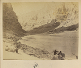
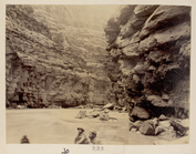
Canyon with men and boats, 647
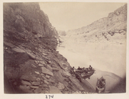
Canyon with three boats on th…
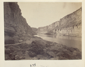
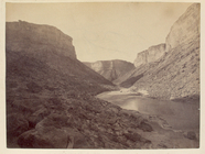
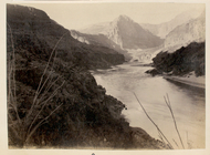
Winding river in canyon, 288
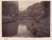
Canyon with reflection in riv…
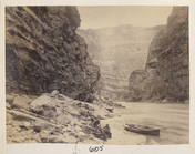
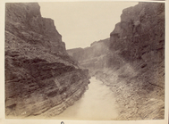
Canyon with river, 600
Canyon with two men, 606
Grand Canyon, 627
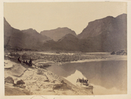
18 miles above Diamond Creek,…
1
2
3
4
5
6
Previous
Next
1
2
3
4
5
6
Previous
Next