Click to visit the main New York Public Library Homepage
The New York Public Library
Digital Collections
About Digital Collections
Browse
Search only public domain materials
Items
Collections
Divisions
Home
Search
Browse
About
Search only public domain materials
Items
Collections
Divisions
Digital Collections
Using Images
Using Data
Search
Filtered search
Show filters
Hide filters
Show Only Public Domain
topic
Real property
69
Fire insurance
45
Buildings
3
City planning
3
Dwellings
3
More
Less
name
Perris, William
68
Hayward, George, b. ca. 1800
4
New York (N.Y.). Common Council
4
Valentine, D. T. (David Thomas), 1801-1869
4
Fronti, J
3
More
Less
collection
Atlases of New York City
68
Maps of New York City and State
7
Robert N. Dennis collection of stereoscopic views
3
Photographic views of New York City, 1870's-1970's, from the collections of the New York Public Library
2
The Eno collection of New York City views
1
place
x
Manhattan (New York, N.Y.)
New York (State)
75
New York
74
New York (N.Y.)
12
Brooklyn (New York, N.Y.)
1
More
Less
genre
Maps
74
Photographs
5
Index maps
3
Stereographs
3
Title pages
3
More
Less
publisher
William Perris
45
Lith. by Korff Brothers
23
William Perris, Civil Engineer
23
Chs. Magnus
1
Common Council
1
More
Less
division
Map Division
75
Wallach Division: Photography Collection
3
Milstein Division
2
Wallach Division: Print Collection
1
type
cartographic
73
still image
6
text
4
Date Range
to
81 results found
Filtering on:
x
Date
: 1854 - 1856
x
Place
: Manhattan (New York, N.Y.)
Sort by:
Title
Date created
Date digitized
Sequence
m
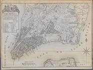
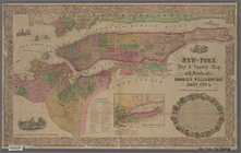
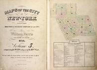
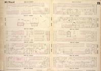
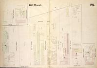
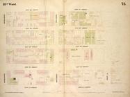
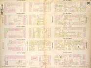
Topographical map of New York…
m
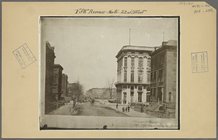
Manhattan: 5th Avenue - 22nd …
m
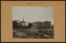
Manhattan: Battery Place - Gr…
Plan of the City of New York.…
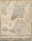
A Plan of the City and Enviro…
New-York city and county map …
A plan of the city and enviro…
Plan of the City of New York,…
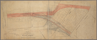
Map shewing a plan for the wi…
Maps of the city of New York …
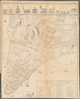
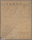
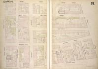
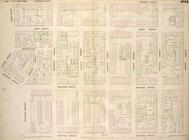
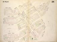
Map bounded by East 4th Stree…
Map bounded by West 4th Stree…
Map bounded by Barrow Street,…
Map bounded by East 9th Stree…
Map bounded by West 9th Stree…
Map bounded by Amos Street, C…
Map bounded by Bank Street, B…
Map bounded by University Pla…
Map bounded by West 14th Stre…
Map bounded by West 4th Stree…
Map bounded by Bleecker Stree…
Map bounded by West Street, W…
Map bounded by West 17th Stre…
Map bounded by West 17th Stre…
Map bounded by West 22nd Stre…
Map bounded by West 22nd Stre…
Map bounded by Eleventh Avenu…
Map bounded by East 26th Stre…
Map bounded by East 27th Stre…
Map bounded by West 27th Stre…
Map bounded by Second Avenue,…
Map bounded by East 32nd Stre…
Map bounded by West 32nd Stre…
Map bounded by Second Avenue,…
Map bounded by East 37th Stre…
Map bounded by West 37th Stre…
Map bounded by Second Avenue,…
Map bounded by East 42nd Stre…
Map bounded by West 42nd Stre…
Map bounded by West 27th Stre…
Map bounded by West 27th Stre…
Map bounded by West 27th Stre…
Map bounded by West 32nd Stre…
Map bounded by West 32nd Stre…
Map bounded by West 32nd Stre…
Map bounded by West 37th Stre…
Maps of the city of New York …
Maps of the city of New York…
Map bounded by West Street, A…
Map bounded by West 37th Stre…