Click to visit the main New York Public Library Homepage
The New York Public Library
Digital Collections
About Digital Collections
Browse
Search only public domain materials
Items
Collections
Divisions
Home
Search
Browse
About
Search only public domain materials
Items
Collections
Divisions
Digital Collections
Using Images
Using Data
Search
Filtered search
Show filters
Hide filters
Show Only Public Domain
topic
Landowners
13
History
8
Real property
8
Buildings
6
City planning
4
More
Less
name
United States. Army of the Cumberland
2
United States. Army. Corps of Topographical Engineers
2
Abert, J. W. (James William), 1820-1897
1
Amerman, Richard
1
Bolmer, William
1
More
Less
collection
Maps of North America
28
Maps of New York City and State
20
Maps of the Arctic Regions
1
place
New York (State)
17
New York (N.Y.)
12
Manhattan (New York, N.Y.)
10
Cobb County (Ga.)
7
Georgia
7
More
Less
genre
x
Manuscript maps
Maps
49
Cadastral maps
10
Early works to 1800
1
Facsimiles
1
More
Less
publisher
producer not identified
15
Corps of Topographical Engineers
2
New York
2
producer not identified?
2
publisher not identified
2
More
Less
division
Map Division
49
type
cartographic
49
Date Range
to
49 results found
Filtering on:
x
Date
: 1854 - 1872
x
Genre
: Manuscript maps
Sort by:
Title
Date created
Date digitized
Sequence
m
Mercator projection exhibitin…
New-York and vicinity as prop…
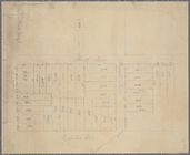
Map of property in the 19th w…
Map of a part of the Village …
Subdivision of Block 5 of the…
Parts of Ohio & Pennsylvania …
Map showing lands of the Iron…
Lots & blocks shaded red belo…
A Tracing of parts of the sta…
Military map of South Carolina
Map of Gloucester Co., Va.
Map of the Valley Furnace Est…
m
Highwood Park, East of Glenwo…
Map of the lateral rail roads…
Map of lands in the town of Y…
m
Three maps of the property kn…
Country-seat of Danl. P. Barn…
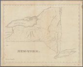
Map of New York, New England,…
New-York
Map of field of occupation, A…
Map shewing position of 1st B…
Information map, Hd. Qrs. 20 …
Information map, Hd. Qrs, 20t…
Manuscript map of northwester…
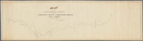
Map of a preliminary survey f…
m
Dec. 13th Positions of Humphr…
Map of field of occupation of…
m
Vicinity of the Rapidan and R…
m
Position Army Cumbld., June 2…
Information map only, H. Qrs.…
Manuscript map of Civil War t…
Manuscript map of a small are…
Information map: [northwester…
Manuscript map of the area we…
Manuscript map of a military …
Manuscript map of an approxim…
Battle of Rappahannock Statio…
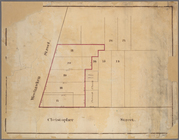
Block bounded by 2nd Ave., 99…
m
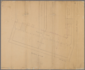
Manuscript maps of block boun…
Manuscript map of "building" …
Manuscript map of lots at cor…
Manuscript map of corner of H…
Manuscript map of building at…
Manuscript map of corner of C…
Manuscript map of the section…
A plan of the city and enviro…
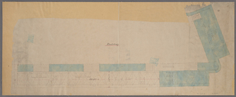
Map of water front from 61st …
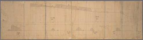
Paving map [4th Ave. from 37t…
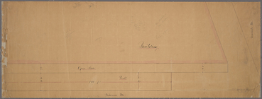
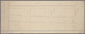
[Profile of 56th St. from Sev…
End of results
|
Top