Click to visit the main New York Public Library Homepage
The New York Public Library
Digital Collections
About Digital Collections
Browse
Search only public domain materials
Items
Collections
Divisions
Home
Search
Browse
About
Search only public domain materials
Items
Collections
Divisions
Digital Collections
Using Images
Using Data
Search
Filtered search
Show filters
Hide filters
Show Only Public Domain
topic
Trees
221
Tourism
182
Redwoods
160
Forests
158
National parks and reserves
148
More
Less
name
Watkins, Carleton E., 1829-1916
265
Lawrence & Houseworth
116
E. & H.T. Anthony (Firm)
76
Weed, Charles L
40
Thomas Houseworth & Co
23
More
Less
collection
Robert N. Dennis collection of stereoscopic views
506
Photographic views of the United States
191
"The Pageant of America" Collection
29
Maps of North America
27
Yosemite : a collection of views
23
More
Less
place
x
California
Yosemite Valley (Calif.)
208
United States
201
Yosemite National Park (Calif.)
162
San Francisco (Calif.)
93
More
Less
genre
Photographs
772
Stereographs
506
Maps
27
Prints
13
Nautical charts
9
More
Less
publisher
E. & H. T. Anthony
68
U.S. Coast Survey
5
U.S. Coast Survey Office
5
publisher not identified
5
Lawrence and Houseworth
3
More
Less
division
Wallach Division: Photography Collection
581
Milstein Division
191
Map Division
27
Wallach Division: Picture Collection
6
Wallach Division: Print Collection
5
More
Less
type
still image
790
cartographic
27
text
3
Date Range
to
815 results found
Filtering on:
x
Date
: 1855 - 1865
x
Place
: California
Sort by:
Title
Date created
Date digitized
Sequence
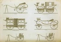
Coaches and carriages
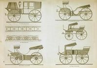
Coaches and carriages
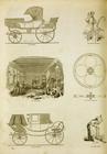
Coaches and carriages, and th…
Map of the state of Californi…
Map no. 1 from San Francisco …
Geological map of the Tejon P…
Geological reconnaissances in…
Map of wagon routes in Utah T…
Map no. 1, from San Francisco…
Map of public surveys in Cali…
Geological map of a part of t…
California
Geological plan of the Coast …
Esquisse geologique des regio…
Les trois comtés du sud, Sa. …
California, Utah, Lr. Califor…
Preliminary survey of San Ped…
Yosemite Valley : [Calif.]
Preliminary chart of San Pedr…
Preliminary chart of Tomales …
Preliminary map of the wester…
Preliminary chart of Drake's …
Preliminary chart of San Pabl…
Entrance to San Francisco Bay…
San Diego Bay, California
Petaluma and Napa Creeks, Cal…
City of San Francisco and its…
Reconnaissance of the S.E. en…
Preliminary survey of Point R…
Sketch J no. 2 showing the p…
m
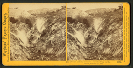
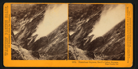
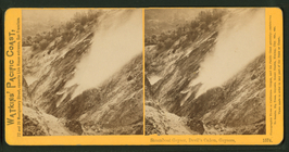
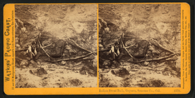
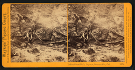
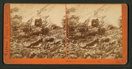
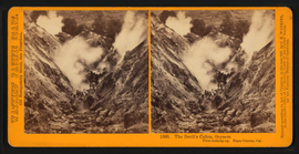
The Devil's Cañon, Geysers. V…
m
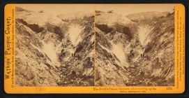
The Devil's Cañon, Geysers. V…
m
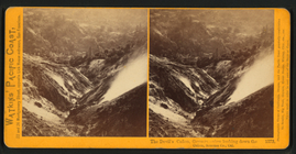
The Devil's Cañon, Geysers. V…
m
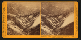
The Devil's Cañon, Geysers. V…
m
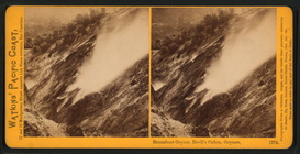
Steamboat Geyser, Devil's Cañ…
m
Steamboat Geyser, Devil's Cañ…
m
Steamboat Geyser, Devil's Cañ…
m
The Devil's Tea-kettle, Geyse…
m
The Devil's Tea-kettle, Geyse…
m
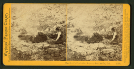
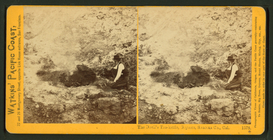
Indian Sweat Bath, Geysers, S…
m
Indian Sweat Bath, Geysers, S…
m
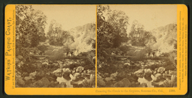
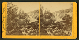
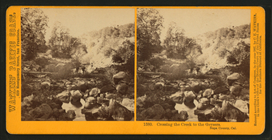
Crossing the Creek to the Gey…
m
Crossing the Creek to the Gey…
m
Crossing the Creek to the Gey…
m
Steam-bath, Geysers, Sonoma C…
m
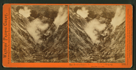
The Devil's Cañon, Geysers. V…
m
The Devil's Cañon, Geysers. V…
m
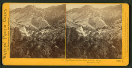
The Geyser Cañon, from near t…
m
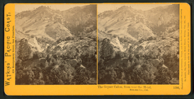
The Geyser Cañon, from near t…
m
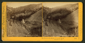
The Devil's Tea-Kettle, from …
1
2
3
4
Previous
Next
1
2
3
4
Previous
Next