Click to visit the main New York Public Library Homepage
The New York Public Library
Digital Collections
About Digital Collections
Browse
Search only public domain materials
Items
Collections
Divisions
Home
Search
Browse
About
Search only public domain materials
Items
Collections
Divisions
Digital Collections
Using Images
Using Data
Search
Filtered search
Show filters
Hide filters
Show Only Public Domain
topic
Geology
3
Mines and mineral resources
2
Coal
1
Coal mines and mining
1
Graphic methods
1
More
Less
name
Barnes, Rufus L
1
Broughton, S. H
1
Culyer, John Y. (John Yapp), 1839-1924
1
Ferd. Mayer & Co
1
Foster, J. W. (John Wells), 1815-1873
1
More
Less
collection
Maps of North America
4
Atlases, gazetteers, guidebooks and other books
1
United States Sanitary Commission records. Condensed historical matter
1
place
Michigan
3
Ontonagon County
2
Ontonagon County (Mich.)
2
Kanawha River Valley
1
Kanawha River Valley (W. Va.)
1
More
Less
genre
x
Diagrams
Maps
4
Charts
2
Cadastral maps
1
Geological cross-sections
1
More
Less
publisher
E. Thunot et Cie
1
F. Mayer & Co
1
John S. Swann
1
Published and sold by R.L. Barnes
1
publisher not identified
1
division
Map Division
5
Manuscripts and Archives Division
1
type
cartographic
4
still image
2
text
2
Date Range
to
6 results found
Filtering on:
x
Date
: 1861 - 1867
x
Genre
: Diagrams
Sort by:
Title
Date created
Date digitized
Sequence
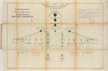
Diagram illustrating the work…
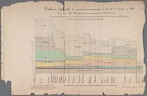
Tableau figuratif du mouvemen…
Map of Township 51, North, R…
Geological map of Rockland an…
Route of the Peninsula Railro…
m
Title map of the coal field o…