Click to visit the main New York Public Library Homepage
The New York Public Library
Digital Collections
About Digital Collections
Browse
Search only public domain materials
Items
Collections
Divisions
Home
Search
Browse
About
Search only public domain materials
Items
Collections
Divisions
Digital Collections
Using Images
Using Data
Search
Filtered search
Show filters
Hide filters
Show Only Public Domain
topic
Columbia River
71
Administrative and political divisions
9
Indian reservations
9
Nautical charts
4
Railroads
4
More
Less
name
Watkins, Carleton E., 1829-1916
53
Taber, I. W. (Isaiah West), 1830-1912
9
United States Coast Survey
4
Oregon Railway and Navigation Company
3
United States. General Land Office
3
More
Less
collection
Robert N. Dennis collection of stereoscopic views
69
Maps of North America
23
Detroit Publishing Company postcards
14
William Frey papers
3
Album of photographs of Oregon
2
More
Less
place
x
Oregon
Washington (State)
11
United States
7
Portland
6
Portland (Or.)
5
More
Less
genre
Photographs
75
Stereographs
69
Maps
23
Postcards
14
Nautical charts
3
More
Less
publisher
Detroit Publishing Company
13
Department of the Interior, General Land Office
2
GPO
2
Poole Bros.?
2
U.S. Census, Geography Department?
2
More
Less
division
Wallach Division: Photography Collection
85
Map Division
23
Manuscripts and Archives Division
3
Milstein Division
1
type
still image
92
cartographic
23
Date Range
to
113 results found
Filtering on:
x
Date
: 1861 - 1914
x
Place
: Oregon
Sort by:
Title
Date created
Date digitized
Sequence
Men and women of the New Odes…
Map of part of Washington and…
Johnson's Oregon and Washingt…
Preliminary Chart of entrance…
Reconnaissance of entrance & …
A diagram of Oregon
Map showing the routes travel…
State of Oregon
Map of Oregon territory: prob…
State of Oregon
m
Map of Multnomah County, Oreg…
Map of the Oregon Railroad an…
Map of the Oregon Railroad an…
Map of Baker City, Oregon
Oregon
County and township map of Or…
Map of Oregon territory : pro…
Colton's map of Oregon & Wash…
Oregon
Map of the Department of the …
Portland Cable Railway
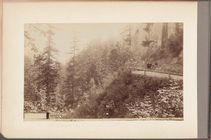
On the road to Council Crest
Map of Oregon, Washington, Id…
Thirteenth l. h. district
Reconnaissance of the western…
Reconnaissance of the western…
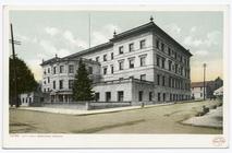
City Hall, Portland, Ore.
Mt. Hood and City Hall from O…
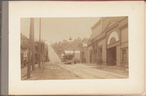
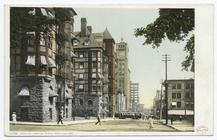
6th Street looking North, Por…
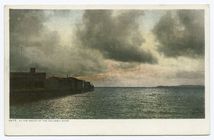
At the Mouth of the Columbia …
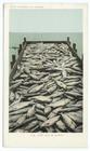
Scow Load of Salmon, Oregon
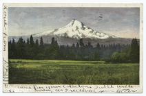
View, Mt. Hood, Ore.
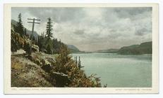
View, Columbia River, Ore.
Felling a Big Tree, Oregon
Post Office, Portland, Ore.
Oregonian Building, Portland,…
Hercules Pillars, Columbia Ri…
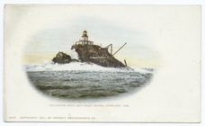
Tillamook Rock And Light Hous…
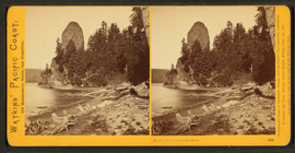
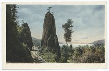
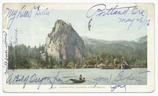
Castle Rock, Columbia River, …
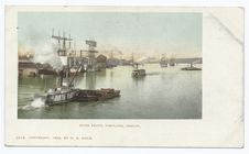
River Front, Portland, Ore.
m
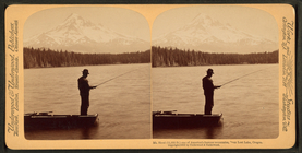
Mt. Hood (11,225 ft.) one of …
m
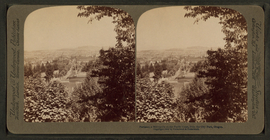
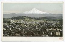
Portland, a metropolis on the…
m
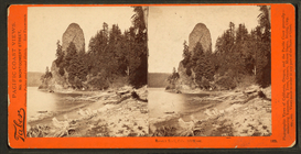
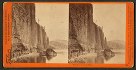
Rooster Rock, Columbia River.
m
Rooster Rock, Columbia River.
m
Rooster Rock, Columbia River.
m
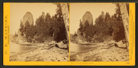
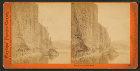
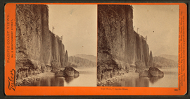
Cape Horn, Columbia River.
m
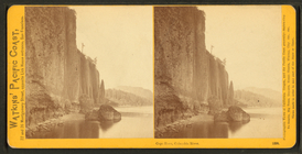
Cape Horn, Columbia River.
m
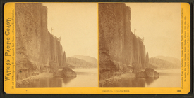
Cape Horn, Columbia River.
m
Cape Horn, Columbia River.
m
Cape Horn, Columbia River.