Click to visit the main New York Public Library Homepage
The New York Public Library
Digital Collections
About Digital Collections
Browse
Search only public domain materials
Items
Collections
Divisions
Home
Search
Browse
About
Search only public domain materials
Items
Collections
Divisions
Digital Collections
Using Images
Using Data
Search
Filtered search
Show filters
Hide filters
Show Only Public Domain
topic
Real property
124
Streets
4
Business districts
2
Carts & wagons
2
Hotels
2
More
Less
name
Perris & Browne
124
Perris, William
124
E. & H.T. Anthony (Firm)
5
Brown Brothers (New York, N.Y.)
2
Astor House Building (New York, N.Y.)
1
More
Less
collection
Atlases of New York City
124
Robert N. Dennis collection of stereoscopic views
5
Photographic views of New York City, 1870's-1970's, from the collections of the New York Public Library
2
Maps of New York City and State
1
place
x
Manhattan (New York, N.Y.)
New York (State)
132
New York
131
New York (N.Y.)
8
American
2
More
Less
genre
Maps
125
Photographs
7
Index maps
6
Title pages
6
Stereographs
5
publisher
Perris & Browne
124
Published by E. & H.T. Anthony & Co
3
E. & H.T. Anthony & Co
1
division
Wallach Division: Photography Collection
5
Milstein Division
2
Map Division
1
type
cartographic
125
still image
7
text
5
Date Range
to
132 results found
Filtering on:
x
Date
: 1862 - 1863
x
Place
: Manhattan (New York, N.Y.)
Sort by:
Title
Date created
Date digitized
Sequence
m
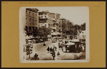
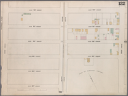
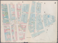
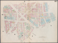
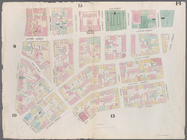
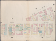
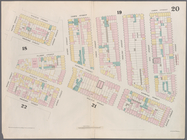
Manhattan: Broadway - Park Row
m
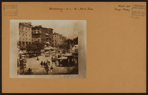
Manhattan: Broadway - Park Row
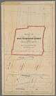
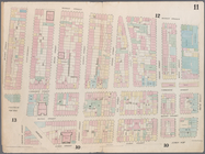
Map (A) of West Washington Ma…
Map bounded by West 42nd Stre…
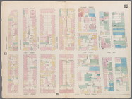
Map bounded by West 47th Stre…
Map bounded by West 47th Stre…
Map bounded by West 47th Stre…
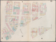
Map bounded by West 52nd Stre…
Map bounded by West 52nd Stre…
Map bounded by West 52nd Stre…
Map bounded by West 57th Stre…
Map bounded by West 57th Stre…
Map bounded by West 57th Stre…
Map bounded by West 57th Stre…
Map bounded by East 57th Stre…
Map bounded by East 57th Stre…
Map bounded by East 62nd Stre…
Map bounded by East 62nd Stre…
Map bounded by East 62nd Stre…
Map bounded by West 59th Stre…
Map bounded by West 62nd Stre…
Map bounded by West 64th Stre…
Map bounded by West 72nd Stre…
Map bounded by West 67th Stre…
Map bounded by West 72nd Stre…
Map bounded by East 67th Stre…
Map bounded by East 67th Stre…
Map bounded by East 72nd Stre…
Map bounded by East 72nd Stre…
Map bounded by East 72nd Stre…
Map bounded by Rector Street,…
Map bounded by Duane Street, …
Map bounded by Pearl Street, …
Map bounded by Chatham Street…
Map bounded by Chatham Square…
Map bounded by Division Stree…
Map bounded by Canal Street, …
Map bounded by Canal Street, …
Map bounded by Canal Street, …
Map bounded by Laight Street,…
Map bounded by Laight Street,…
Map bounded by Spring Street,…
Map bounded by Hamersley Stre…
Map bounded by Hamersley Stre…
Map bounded by Houston Street…
Map bounded by Spring Street,…
Map bounded by Broome Street,…
Map bounded by Houston Street…
Map bounded by Rivington Stre…
Map bounded by Rivington Stre…