Click to visit the main New York Public Library Homepage
The New York Public Library
Digital Collections
About Digital Collections
Browse
Search only public domain materials
Items
Collections
Divisions
Home
Search
Browse
About
Search only public domain materials
Items
Collections
Divisions
Digital Collections
Using Images
Using Data
Search
Filtered search
Show filters
Hide filters
Show Only Public Domain
topic
x
Roads
Mountains
22
Railroads
13
Passes (Landforms)
10
Administrative and political divisions
8
More
Less
name
Kilburn Brothers
31
L. Prang & Co
9
Johnson, A. J. (Alvin Jewett), 1827-1884
7
Beato, Felice, b. ca. 1825
5
Bartholomew, William N. (William Newton), 1822-1898
3
More
Less
collection
Robert N. Dennis collection of stereoscopic views
51
Maps of North America
15
Publisher's proofs of the publications of L. Prang & Co., and scrapbooks of colored advertising cards, published by L. Prang & Co. and other firms
8
Views of Japan
5
The Caucasus: an album of photographs
3
More
Less
place
New Hampshire
34
Crawford Notch (N.H.)
18
White Mountains (N.H. and Me.)
18
Coos County (N.H.)
10
California
7
More
Less
genre
Photographs
64
Stereographs
51
Maps
16
Proofs
8
Cards
7
More
Less
publisher
L. Prang & Co
9
A.J. Johnson
4
Published by A.J. Johnson
3
publisher not identified
3
D. J. Auchmoody
1
More
Less
division
Wallach Division: Photography Collection
60
Map Division
16
Wallach Division: Print Collection
9
Dorot Jewish Division
1
General Research Division
1
More
Less
type
still image
75
cartographic
16
text
1
Date Range
to
90 results found
Filtering on:
x
Date
: 1863 - 1872
x
Topic
: Roads
Sort by:
Title
Date created
Date digitized
Sequence
View of Chambersburg Turnpike…
McClung's map of Minnesota : …
Johnson's Minnesota
Johnson's Vermont and New Ham…
A new map of the states of Ca…
Johnson's Oregon and Washingt…
Johnson's Illinois
Historical map of Nantucket
Johnson's Missouri and Kansas
Military map of part of Georg…
Military map of South Carolina
Johnson's North Carolina and …
The army map of Georgia
Johnson's Arkansas, Mississip…
Map of Rockland Co: [New York]
Historical map of Nantucket
m
Outline map showing a new rou…
Easter cards depicting flower…
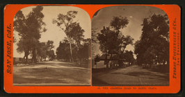
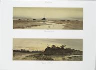
Connecticut Creek; Road to th…
Gathering Seaweed. [Print dep…
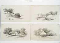
Progressive Studies #2 [print…
Pencil drawings #3 [depicting…
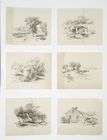
Landscape drawing #2 [cards d…
Landscape Drawing #3 [cards d…
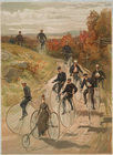
Bicycling.
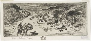
L'Entrée de Landemeer (Hague).
m
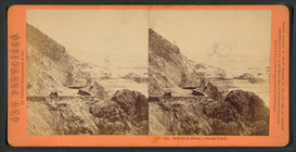
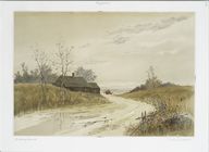
The Alameda Road to Santa Cla…
m
Seal Rock House - Ocean Beach.
m
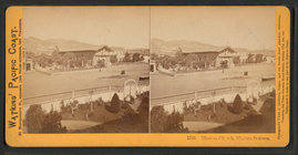
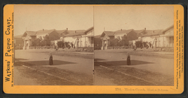
Mission Church, Mission Dolor…
m
Mission Church, Mission Dolor…
m
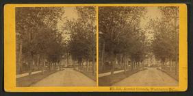
Arsenal Grounds, Washington, …
m
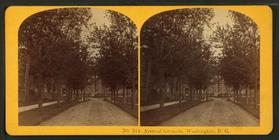
Arsenal Grounds, Washington, …
m
Hawaiian woman and a baby in …
m
Cave Rock, Lake Tahoe. Teams …
m
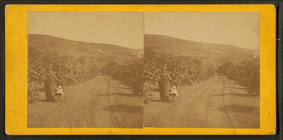
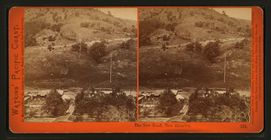
The New Road, New Almaden.
m
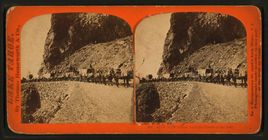
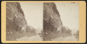
Road at Steep Rocks.
m
Women in a garden with trees.
m
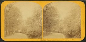
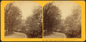
View, Capitol Grounds, Washin…
m
View, Capitol Grounds, Washin…
m
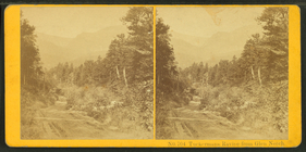
Tuckerman's Ravine, from Glen…
m
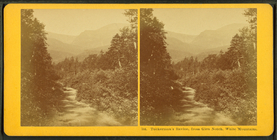
Tuckerman's Ravine, from Glen…
m
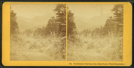
Tuckerman's Ravine, from Glen…
m
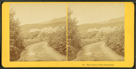
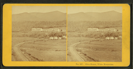
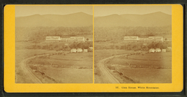
Glen House, White Mountains.
m
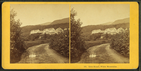
Glen House, White Mountains.
m
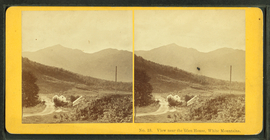
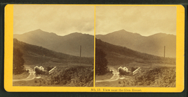
View near the Glen House, Whi…
m
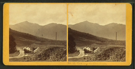
View near the Glen House.
m
View near the Glen House.
m
Glen House, White Mountains.
m
Glen House, White Mountains.
m
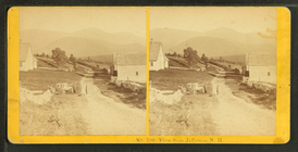
View from Jefferson, N.H.