Click to visit the main New York Public Library Homepage
The New York Public Library
Digital Collections
About Digital Collections
Browse
Search only public domain materials
Items
Collections
Divisions
Home
Search
Browse
About
Search only public domain materials
Items
Collections
Divisions
Digital Collections
Using Images
Using Data
Search
Filtered search
Show filters
Hide filters
Show Only Public Domain
topic
x
Roads
Railroads
54
Mountains
45
Administrative and political divisions
39
Passes (Landforms)
19
More
Less
name
National Highways Association
209
Kilburn Brothers
31
Pease, N. W. (Nathan W.), 1836-1918
17
G.W. & C.B. Colton & Co
14
Rand McNally and Company
12
More
Less
collection
National Highways Association: Photographs
209
Robert N. Dennis collection of stereoscopic views
111
Detroit Publishing Company postcards
62
Maps of North America
54
Maps of New York City and State
52
More
Less
place
United States
225
New York (State)
72
New Hampshire
70
White Mountains (N.H. and Me.)
37
Crawford Notch (N.H.)
30
More
Less
genre
Photographs
357
Stereographs
111
Maps
110
Postcards
68
Road maps
30
More
Less
publisher
Detroit Publishing Company
61
G.W. & C.B. Colton & Co
14
L. Prang & Co
8
publisher not identified
7
Geo. H. Walker & Co
6
More
Less
division
General Research Division
213
Wallach Division: Photography Collection
200
Map Division
109
Wallach Division: Picture Collection
13
Wallach Division: Print Collection
10
More
Less
type
still image
453
cartographic
110
text
11
notated music
1
Date Range
to
562 results found
Filtering on:
x
Date
: 1865 - 1908
x
Topic
: Roads
Sort by:
Title
Date created
Date digitized
Sequence
m
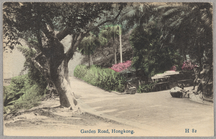
Garden Road, Hongkong
View of Chambersburg Turnpike…
Rand, McNally & Co.'s new aut…
Rand McNally standard map of …
m
Map of New York City : showin…
Map of the City of New York a…
m
Map of New York : showing Leh…
Plan of Bay Ridge Parkway
m
Driving road chart of the cou…
m
Rand McNally & Co.'s road map…
Map of New York City and vici…
m
Vicinity of New York
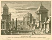
Via Appia, near Rome
Franklin automobiles "over th…
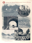
Société des anciens établisse…
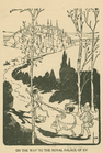
On the way to the royal palac…
McClung's map of Minnesota : …
m
Map of Maine: Moosehead Lake …
Johnson's Minnesota
Johnson's Vermont and New Ham…
Map of the city of Detroit, M…
Map showing the boulevards an…
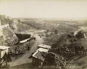
Portion of the copper distric…
Map of the lakes & drives aro…
A new map of the states of Ca…
m
Rand, McNally & Co.'s new bus…
m
Colton's new map of Long Isla…
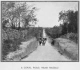
A coral road, near Nassau.
Johnson's Oregon and Washingt…
Yellowstone National Park
A cross-road lounger.
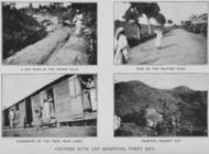
Country Huts and Highways, Po…
Route de Konakry au Niger au …
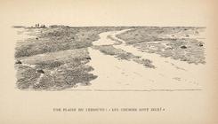
Une plaine du Lessouto: "Les …
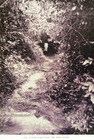
A bush road near the Mano riv…
Territory of New Mexico
District of New Mexico
Topographical & township map …
Department of Arizona, Sheet …
Map of the City of Baltimore:…
Railway and highway map of th…
Railway and highway map of th…
Historical map of Nantucket
Johnson's Missouri and Kansas
Military map of part of Georg…
m
Official map of Georgia
Map of the state of South Car…
Johnson's North Carolina and …
Route de Bethlehem prise de l…
m
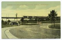
Bayridge Park Drive & rail-ro…
1
2
3
Previous
Next
1
2
3
Previous
Next