Click to visit the main New York Public Library Homepage
The New York Public Library
Digital Collections
About Digital Collections
Browse
Search only public domain materials
Items
Collections
Divisions
Home
Search
Browse
About
Search only public domain materials
Items
Collections
Divisions
Digital Collections
Using Images
Using Data
Search
Filtered search
Show filters
Hide filters
Show Only Public Domain
topic
Trees
387
Tourism
339
Forests
301
Redwoods
292
Mountains
230
More
Less
name
Watkins, Carleton E., 1829-1916
615
Soule, John P
271
Muybridge, Eadweard, 1830-1904
133
Lawrence & Houseworth
100
Thomas Houseworth & Co
98
More
Less
collection
Robert N. Dennis collection of stereoscopic views
1886
Maps of North America
19
Wallach Division Picture Collection
12
The Yosemite book : a description of the Yosemite Valley and the adjacent region of the Sierra Nevada and of the big trees of California
3
Report upon United States Geographical surveys west of the one hundredth meridian, in charge of First Lieut. Geo. M. Wheeler...U.S. Army. Atlas
2
More
Less
place
x
California
Yosemite National Park (Calif.)
775
Yosemite Valley (Calif.)
657
San Francisco (Calif.)
326
San Francisco
133
More
Less
genre
Photographs
1893
Stereographs
1886
Maps
19
Prints
15
Cadastral maps
2
More
Less
publisher
E. & H. T. Anthony
68
Kilburn Brothers
61
Taber
40
Photographed and published by Kilburn Brothers
9
Bradley & Rulofson
5
More
Less
division
Wallach Division: Photography Collection
1893
Map Division
19
Wallach Division: Picture Collection
11
Wallach Division: Print Collection
3
Rare Book Division
1
type
still image
1910
cartographic
19
Date Range
to
1,928 results found
Filtering on:
x
Date
: 1867 - 1880
x
Place
: California
Sort by:
Title
Date created
Date digitized
Sequence
m
Topographical map of central …
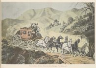
California stage coach: from …
Vernal Fall.
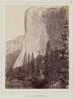
El Capitan.
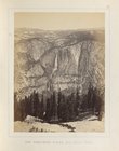
The Yosemite Falls, from Sent…
Map of California : to accomp…
m
State of California
Map of the states of Californ…
Bancroft's map of California,…
County map of the state of Ca…
Karte von Californien und The…
Tenth census of the United St…
Yosemite Valley : [Calif.]
m
Map number sixteen : [Berkele…
Map of the San Joaquin, Sacra…
San Francisco Peninsula
Guide map of the City of San …
Bancroft's official guide map…
Railroad map of the City of S…
Railroad map of the City of S…
Reconnaissance of the western…
Reconnaissance of the western…
m
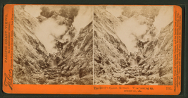
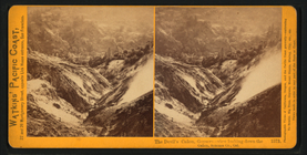
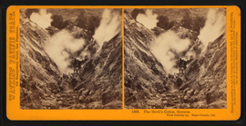
The Devil's Cañon, Geysers. V…
m
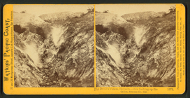
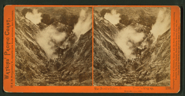
The Devil's Cañon, Geysers. V…
m
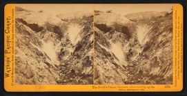
The Devil's Cañon, Geysers. V…
m
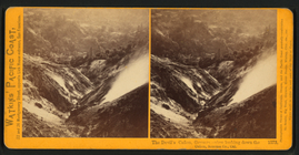
The Devil's Cañon, Geysers. V…
m
The Devil's Cañon, Geysers. V…
m
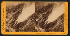
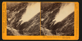
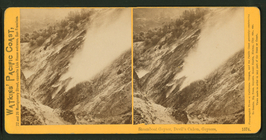
Steamboat Geyser, Devil's Cañ…
m
Steamboat Geyser, Devil's Cañ…
m
Steamboat Geyser, Devil's Cañ…
m
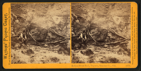
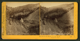
The Devil's Tea-kettle, Geyse…
m
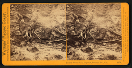
The Devil's Tea-kettle, Geyse…
m
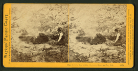
Indian Sweat Bath, Geysers, S…
m
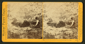
Indian Sweat Bath, Geysers, S…
m
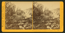
Crossing the Creek to the Gey…
m
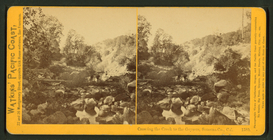
Crossing the Creek to the Gey…
m
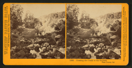
Crossing the Creek to the Gey…
m
Steam-bath, Geysers, Sonoma C…
m
The Devil's Cañon, Geysers. V…
m
The Devil's Cañon, Geysers. V…
m
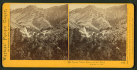
The Geyser Cañon, from near t…
m
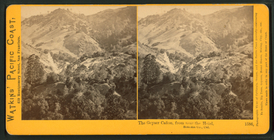
The Geyser Cañon, from near t…
m
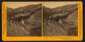
The Devil's Tea-Kettle, from …
m
The Devil's Tea-Kettle, from …
m
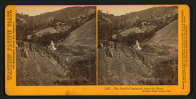
The Devil's Tea-kettle, from …
m
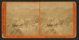
On the way to the Geysers.
m
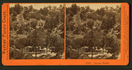
Geyser Hotel.
m
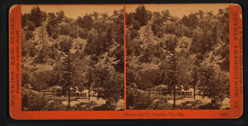
Geyser Hotel, Sonoma Co., Cal.
m
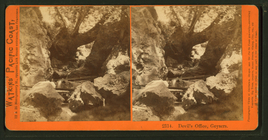
Devil's Office, Geysers.
m
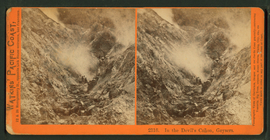
In the Devil's Cañon, Geysers.
1
2
3
4
5
6
7
8
Previous
Next
1
2
3
4
5
6
7
8
Previous
Next