Click to visit the main New York Public Library Homepage
The New York Public Library
Digital Collections
About Digital Collections
Browse
Search only public domain materials
Items
Collections
Divisions
Home
Search
Browse
About
Search only public domain materials
Items
Collections
Divisions
Digital Collections
Using Images
Using Data
Search
Filtered search
Show filters
Hide filters
Show Only Public Domain
topic
x
City planning
Social conditions
942
Streets
12
Piers
10
Waterfronts
10
More
Less
name
M.I.T. Press
942
New York (N.Y.). City Planning Commission
942
Hubacher, Max Henry, 1900-1989
7
Boston (Mass.). Department of Parks
6
Carrère & Hastings
5
More
Less
collection
Atlases of New York City
942
Maps of New York City and State
46
Maps of North America
15
Collection of photographs of New York City, New York State and more by Max Hubacher
7
A plan of the city of Hartford
5
More
Less
place
New York (State)
990
New York (N.Y.)
986
New York
964
Manhattan (New York, N.Y.)
42
Massachusetts
11
More
Less
genre
Maps
1011
Manuscript maps
11
Photographs
7
Plans
6
Cadastral maps
5
More
Less
publisher
MIT Press
942
Case, Lockwood & Brainard Co
5
publisher not identified
5
Government press
3
producer not identified
3
More
Less
division
Map Division
1004
General Research Division
11
Milstein Division
7
Wallach Division: Print Collection
1
type
still image
953
cartographic
72
Date Range
to
1,023 results found
Filtering on:
x
Date
: 1867 - 1977
x
Topic
: City planning
Sort by:
Title
Date created
Date digitized
Sequence
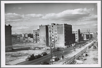
The Brooklyn of the future : …
General plan of the city of H…
Diagrammatic plan for a moder…
General plan of the city of H…
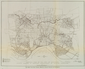
Plan of the central section o…
Suggested type of layout for …
Commission on building distri…
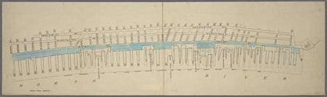
Map of the Harlem River and S…
m
Plans for the improvement of …
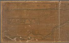
Map of the 23rd and 24th ward…
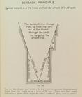
Setback principle
Map of the Melrose addition t…
m
Map of Roanoke, Virginia : sh…
Map of Roanoke, Virginia : th…
Map of New Covington, in St. …
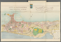
City of Alexandria Town Plann…
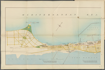
Mediterranean Sea. Lake Maryu…
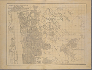
Alexandria Municipality, 8th …
Map of the city of Worcester …
Improvement of Back Bay: show…
Proposed parks and parkways: …
Plan for the occupation of fl…
Map of park: as proposed by U…
Back Bay park
Plan of burnt district (by fi…
Proposed improvement of Back …
Preliminary plan for Wood Isl…
Charles River embankment, sec…
City of Lynn: [Massachusetts]
m
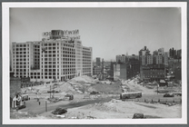
View taken from a temporary d…
m
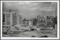
Construction for connecting h…
m
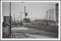
At the foot of Atlantic Avenu…
m
View from the Myrtle Avenue E…
m
View from the Sumner Avenue s…
m
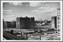
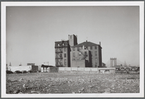
Old house, soon afterwards de…
m
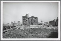
Old red brick house in downto…
m
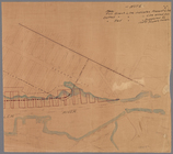
Manuscript map of New York Ci…
Map of the 23rd and 24th ward…
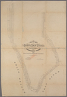
Map or plan showing the stree…
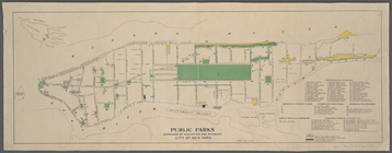
Public parks boroughs of Manh…
m
Map of the City of New York :…
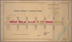
Proposed widening of Lexingto…
m
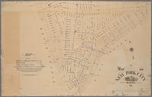
Map of New York City
Manuscript map of corner of D…
Manuscript map of building at…
Manuscript map of corner of C…
Map of the city of New York m…
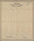
Grade map, Palace of Industry…
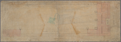
Map of West Street from Batte…
Manuscript map of the section…
1
2
3
4
5
Previous
Next
1
2
3
4
5
Previous
Next