Click to visit the main New York Public Library Homepage
The New York Public Library
Digital Collections
About Digital Collections
Browse
Search only public domain materials
Items
Collections
Divisions
Home
Search
Browse
About
Search only public domain materials
Items
Collections
Divisions
Digital Collections
Using Images
Using Data
Search
Filtered search
Show filters
Hide filters
Show Only Public Domain
topic
x
Rock formations
National parks and reserves
57
Waterfalls
36
Mountains
24
Geological surveys
18
More
Less
name
Watkins, Carleton E., 1829-1916
62
Childs, B. F. (Brainard F.), approximately 1841-1921
19
Brubaker, C. B
11
Geographical Surveys West of the 100th Meridian (U.S.)
11
Bell, William, 1830-1910
10
More
Less
collection
Robert N. Dennis collection of stereoscopic views
118
Report upon United States Geographical surveys west of the one hundredth meridian, in charge of First Lieut. Geo. M. Wheeler...U.S. Army. Atlas
8
The great West illustrated in a series of photographic views across the continent taken along the line of the Union Pacific Railroad west from Omaha, Nebraska
7
Photographs of geological formations and Western landscapes
5
Photographs showing landscapes, geological and other features of portions of the western territory of the United States, obtained in connection with geographical and geological explorations and surveys west of the 100th meridian, seasons of 1871, 1872 and 1873
5
More
Less
place
California
79
Yosemite National Park (Calif.)
58
Yosemite Valley (Calif.)
58
West (U.S.)
25
Michigan
24
More
Less
genre
Photographs
143
Stereographs
118
Illustrations
1
Prints
1
publisher
Brubaker, Brubaker and Whitesides
19
Govt. Print. Off
8
s.n
5
War Dept
5
Taber
2
More
Less
division
Wallach Division: Photography Collection
143
Wallach Division: Picture Collection
1
Wallach Division: Print Collection
1
type
still image
145
Date Range
to
145 results found
Filtering on:
x
Date
: 1869 - 1873
x
Topic
: Rock formations
Sort by:
Title
Date created
Date digitized
Sequence
Les deux aventuriers et le ta…
Femme assise sur un rocher.
m
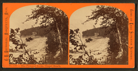
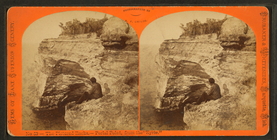
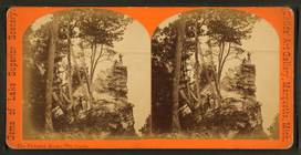
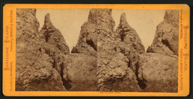
The Pictured Rocks, Chapel Be…
m
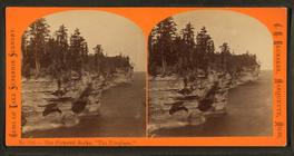
The Pictured Rocks : "the fir…
m
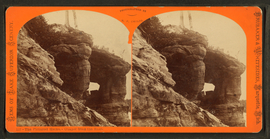
The Pictured Rocks - chapel f…
m
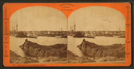
Marquette from Ripley's Rock.
m
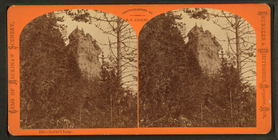
Lover's Leap.
m
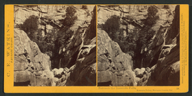
Falls of Pigeon River, the pl…
m
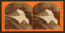
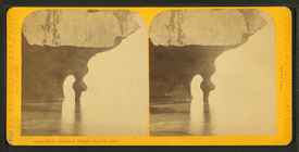
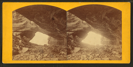
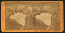
Boundary cave, Pigeon Bay.
m
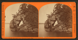
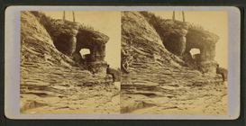
Boundary arch, entrance Pigeo…
m
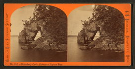
Boundary cave, entrance Pigeo…
m
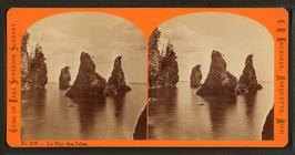
La Bay des Isles.
m
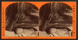
The Pictured Rocks, "Demon Ar…
m
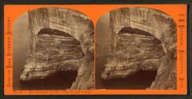
The Pictured Rocks, "The Gran…
m
The Pictured Rocks, The Grand…
m
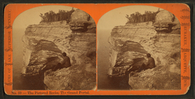
The Pictured Rocks, Portal Po…
m
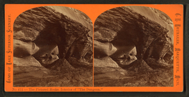
The Pictured Rocks, interior …
m
Arch of the Giants' Stairway.
m
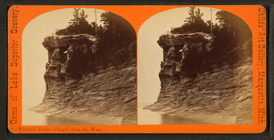
Pictured Rocks, Chapel, from …
m
The Pictured Rocks, The Castl…
m
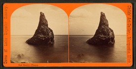
Bad Finger's Spirit.
m
Doe's Head 16 miles above Mar…
m
Stand Rock, Hemlock Island (A…
m
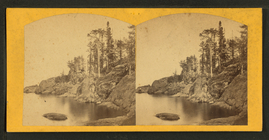
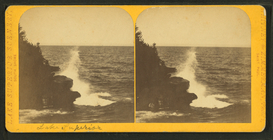
Lake Superior.
m
Grand Portal looking out, Pic…
m
East view of Chapel. Pictured…
m
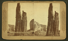
Rocks in the Canon de Chelle-…
m
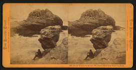
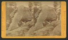
Funnel Rock.
m
South Farallon Island, The Mu…
m
South Farallon Island - The G…
m
South Farallon Island - Tower…
m
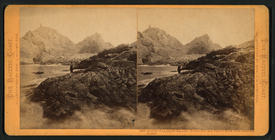
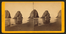
Rocks at mouth of Ten Mile Ri…
m
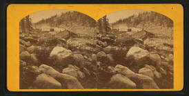
Summit, C.P.R.R., Sierras.
m
Summit Sierra Nevada Mountain…
m
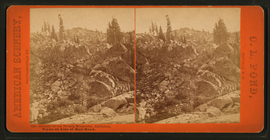
Natural Bridge near Back Horn…
m
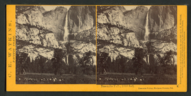
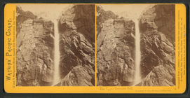
Yosemite Falls, 2630 feet, Yo…
m
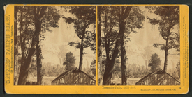
Yosemite Falls, 2630 feet, Yo…
m
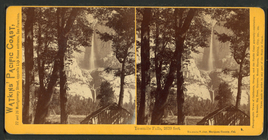
Yosemite Falls, 2630 feet, Yo…
m
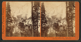
On the way to the Lower Yosem…
m
The Upper Yosemite Fall, Yose…
m
Yosemite Falls, 2630 feet. Vi…
m
Between the Yosemite Falls, Y…
m
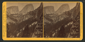
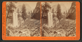
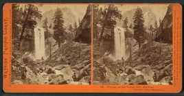
Piwyac, or the Vernal Fall fr…
m
Piwyac, or the Vernal Fall an…
m
Piwyac, or the Vernal Fall, 3…
m
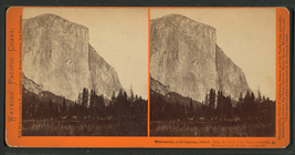
Tutocanula, or El Capitan, 36…
m
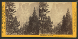
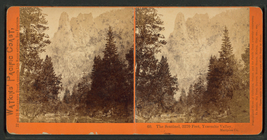
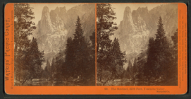
The Sentinel, 3270 feet, Yose…
m
The Sentinel, 3270 feet, Yose…
m
The Sentinel, 3270 feet, Yose…
m
Lady Franklin and Party on Mo…