Click to visit the main New York Public Library Homepage
The New York Public Library
Digital Collections
About Digital Collections
Browse
Search only public domain materials
Items
Collections
Divisions
Home
Search
Browse
About
Search only public domain materials
Items
Collections
Divisions
Digital Collections
Using Images
Using Data
Search
Filtered search
Show filters
Hide filters
Show Only Public Domain
topic
x
Rivers
Waterfalls
28
Mountains
24
Bridges
19
National parks and reserves
17
More
Less
name
Kilburn Brothers
21
Watkins, Carleton E., 1829-1916
17
Moran, John, 1831-1903
8
United States Darien Exploring Expedition (1871 and 1873)
8
Beato, Felice, b. ca. 1825
5
More
Less
collection
Robert N. Dennis collection of stereoscopic views
93
Maps of New York City and State
7
Photographic views of New York City, 1870's-1970's, from the collections of the New York Public Library
5
Views of Japan
5
Wallach Division Picture Collection
4
More
Less
place
California
28
New Hampshire
26
Yosemite Valley (Calif.)
23
Yosemite National Park (Calif.)
22
New York (State)
18
More
Less
genre
Photographs
112
Stereographs
93
Maps
9
Prints
3
Cadastral maps
1
More
Less
publisher
Brubaker, Brubaker and Whitesides
4
Photographed and published by J.G. Evans
4
A. Brown
2
Adirondack survey
1
Board of Harbor Commissioners
1
More
Less
division
Wallach Division: Photography Collection
104
Map Division
9
Milstein Division
5
Wallach Division: Picture Collection
3
Schomburg Photographs and Prints Division
2
More
Less
type
still image
118
cartographic
9
text
2
Date Range
to
127 results found
Filtering on:
x
Date
: 1869 - 1873
x
Topic
: Rivers
Sort by:
Title
Date created
Date digitized
Sequence
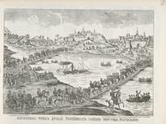
Pereprava cherez Dunai Rossii…
Views : A Row of Houses, Brid…
m
New national map of the Unite…
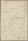
Map of Wareham River showing …
m
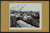
Queens: Flushing - [Aerial vi…
m
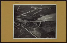
Queens: Flushing River - [Lon…
m
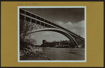
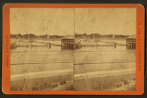
Bridges - Henry Hudson Bridge…
m
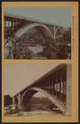
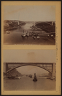
Bridges - Washington Bridge.
m
Bridges - Washington Bridge o…
m
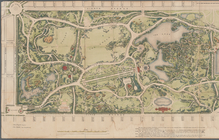
Map of the Central Park
Sketch showing the primary tr…
m
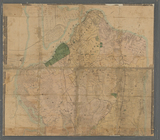
Map of Staten Island (Richmon…
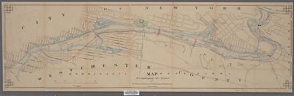
Map accompanying the report o…
m
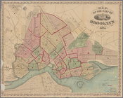
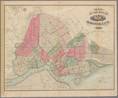
Map of the city of Brooklyn
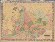
Map of the city of Brooklyn
Map of the city of Brooklyn, …
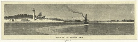
Mouth of the Savannah River.
m
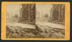
River just above Rapids.
m
Indian Arrow Rapids.
m
View of the Grand River from …
m
Children perched on logs.
m
River and the dam.
m
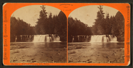
Falls of Presque Isle River.
m
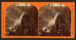
Falls of Pigeon River with ra…
m
Dalles of Pigeon River.
m
Dalles of the St. Louis.
m
Left bank, Munising River, Gr…
m
North bank, Munising River, G…
m
View on Montreal River.
m
View on Montreal River.
m
On the Noyo River, near Pacif…
m
Rocks at mouth of Ten Mile Ri…
m
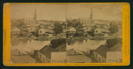
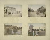
Stockton City, Baptist Church…
m
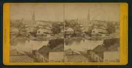
Stockton City, Baptist Church…
m
Stockton City, Baptist Church…
m
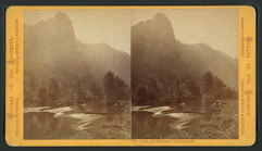
Loya, (Sentinel) 3,043 feet h…
m
Yosemite Studies.
m
Yosemite Studies.
m
Yosemite Studies.
m
Yosemite Studies.
m
Tutocanula, or El Capitan, 36…
m
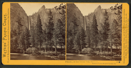
Pohono, or the Bridal Veil, 9…
m
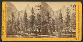
Pohono, or the Bridal Veil, 9…
m
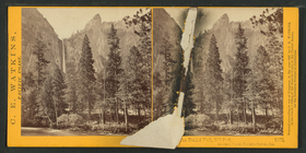
Bridal Veil 900 ft.
m
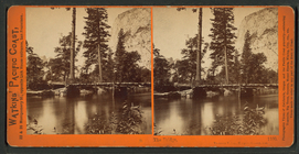
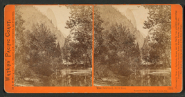
The Bridge, Yosemite Valley, …
m
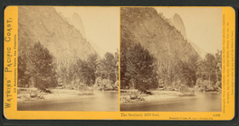
The Sentinel, 3270 feet, Yose…
m
The Sentinel, 3270 feet, Yose…
m
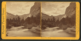
Mount Starr King, Yosemite Va…
m
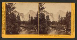
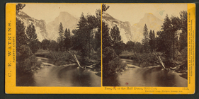
Tasayac, or the Half Dome, 50…
m
Tasayac, or the Half Dome, 50…