Click to visit the main New York Public Library Homepage
The New York Public Library
Digital Collections
About Digital Collections
Browse
Search only public domain materials
Items
Collections
Divisions
Home
Search
Browse
About
Search only public domain materials
Items
Collections
Divisions
Digital Collections
Using Images
Using Data
Search
Filtered search
Show filters
Hide filters
Show Only Public Domain
topic
x
City planning
Waterfronts
10
Piers
9
Streets
9
Real property
8
More
Less
name
Boston (Mass.). Department of Parks
6
Heliotype Printing Co
5
Baist, G. Wm. (George William), 1859-1927
3
Risse, Louis A
3
Webster, Joseph O. B
3
More
Less
collection
Maps of New York City and State
39
Maps of North America
13
The Eno collection of New York City views
1
place
New York (N.Y.)
40
Manhattan (New York, N.Y.)
39
New York (State)
39
New York
15
Massachusetts
9
More
Less
genre
Maps
50
Manuscript maps
11
Cadastral maps
5
Blueprints
2
Prints
2
More
Less
publisher
publisher not identified
4
producer not identified
3
Department of Public Works
2
G. Wm. Baist, Map Publisher
2
G.W. & C.B. Colton & Co
2
More
Less
division
Map Division
52
Wallach Division: Print Collection
1
type
cartographic
53
still image
2
Date Range
to
53 results found
Filtering on:
x
Date
: 1870 - 1900
x
Topic
: City planning
Sort by:
Title
Date created
Date digitized
Sequence
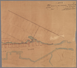
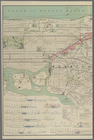
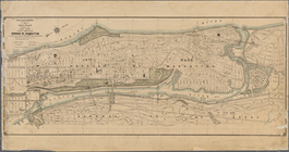
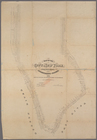
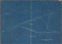
Map of the Harlem River and S…
m
Plans for the improvement of …
Map of the 23rd and 24th ward…
Map of the Melrose addition t…
m
Map of Roanoke, Virginia : sh…
Map of Roanoke, Virginia : th…
Map of New Covington, in St. …
Map of the city of Worcester …
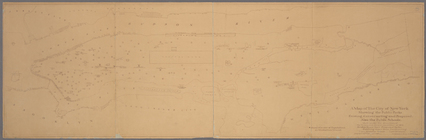
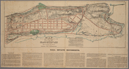
Improvement of Back Bay: show…
Proposed parks and parkways: …
Back Bay park
Plan of burnt district (by fi…
Proposed improvement of Back …
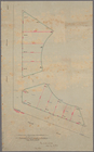
Preliminary plan for Wood Isl…
Charles River embankment, sec…
City of Lynn: [Massachusetts]
m
Manuscript map of New York Ci…
Map of the 23rd and 24th ward…
Map or plan showing the stree…
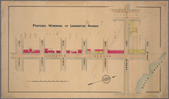
Proposed widening of Lexingto…
m
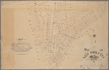
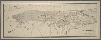
Map of New York City
Manuscript map of corner of D…
Manuscript map of building at…
Manuscript map of corner of C…
Map of the city of New York m…
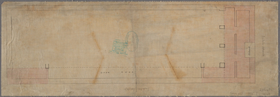
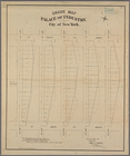
Grade map, Palace of Industry…
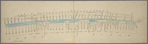
Map of West Street from Batte…
Manuscript map of the section…
Map of the city of New York m…
Copy of map or survey showing…
Paving map [Reade Street from…
Plan showing changes in West …
Plan of the tracks under Unio…
Proposed Harlem River Drive f…
Modification in the pierhead…
m
Plan of the Harlem River Driv…
A map of the City of New York…
m
Map showing part of the city …
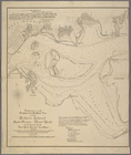
Diagram showing location of u…
m
Map of the City of New York n…
Map of New York City / drawn …
Map of the city of New York m…
Map of that portion of the 12…
Map of land to be acquired un…
m
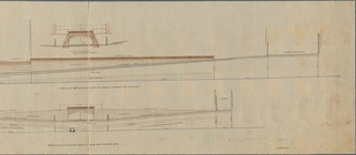
Profile of Riverside Drive fr…
m
Map of the Harlem River and S…
m
Map of New York City south of…
Proposed iron viaduct from Sa…
Map of part of New York City …
m
Proposed extension of Convent…