Click to visit the main New York Public Library Homepage
The New York Public Library
Digital Collections
About Digital Collections
Browse
Search only public domain materials
Items
Collections
Divisions
Home
Search
Browse
About
Search only public domain materials
Items
Collections
Divisions
Digital Collections
Using Images
Using Data
Search
Filtered search
Show filters
Hide filters
Show Only Public Domain
topic
Parks
12
City planning
10
Administrative and political divisions
6
Piers
6
Churches
5
More
Less
name
E. & H.T. Anthony (Firm)
7
Washington, George, 1732-1799
3
American Photo-Lithographic Company
2
Brown Brothers (New York, N.Y.)
2
Drexel Building (New York, N.Y.)
2
More
Less
collection
Maps of New York City and State
21
Photographic views of New York City, 1870's-1970's, from the collections of the New York Public Library
17
Robert N. Dennis collection of stereoscopic views
15
New York, taken from Battery Place
1
place
x
Manhattan (New York, N.Y.)
New York (N.Y.)
54
New York (State)
41
New York
17
Union Square (New York, N.Y.)
8
More
Less
genre
Photographs
32
Maps
21
Stereographs
15
Manuscript maps
2
Cadastral maps
1
More
Less
publisher
Department of Public Parks
2
Am. Photo-Lithographic Co
1
D. Appleton & Co. 90, 92, & 94 Grand Street
1
Directory Office, 52 Greene Street ; Fisk & Russell Relief Map & Line Engravers, NY
1
Engraved and printed by Joseph Laing
1
More
Less
division
Map Division
21
Milstein Division
17
Wallach Division: Photography Collection
15
Wallach Division: Print Collection
1
type
still image
33
cartographic
21
Date Range
to
54 results found
Filtering on:
x
Date
: 1871 - 1874
x
Place
: Manhattan (New York, N.Y.)
Sort by:
Title
Date created
Date digitized
Sequence
m
Manhattan: 4th Avenue - 17th …
m
Manhattan: West Street - 42nd…
m
Manhattan: Broadway - Whiteha…
m
Manhattan: Broadway - Fulton …
m
Manhattan: Broadway - Vesey S…
m
Manhattan: Broadway - Warren …
m
Manhattan: Lexington Avenue -…
m
Manhattan: Madison Avenue - 5…
m
Manhattan: Park Avenue - 45th…
m
Manhattan: Park Avenue - 125t…
m
Manhattan: Rutherford Place -…
m
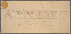
Manhattan: Union Square (West…
m
Manhattan: Union Square (West…
m
Manhattan: Wall Street - Broa…
m
Manhattan: Wall Street - Broa…
m
Manhattan: Wall Street - Broa…
m
Manhattan: Wall Street - Pear…
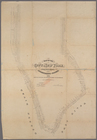
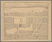
Map of the boundaries of the …
Map accompanying the report o…
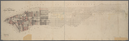
Map of the city of New York m…
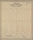
Grade map, Palace of Industry…
Map showing the portions of t…
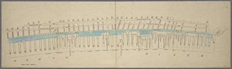
Map of West Street from Batte…
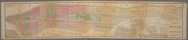
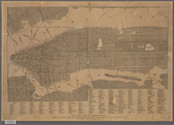
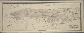
Map of New York City.
Manuscript map of the section…
Map of the city of New York m…
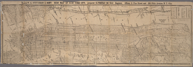
Messrs. V.K. Stevenson & Son'…
Copy of map or survey showing…
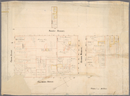
Paving map [Reade Street from…
Map drawn for "The Morningsid…
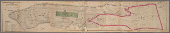
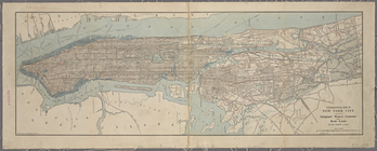
New York and its surroundings…
m
Map of the City of New York n…
Topographical map of New York…
Map of New York City / drawn …
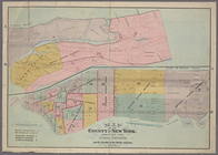
Map of the County of New York…
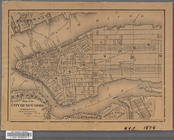
Map of the City of New York
Map of the City of New York
m
Map showing the route for a p…
m
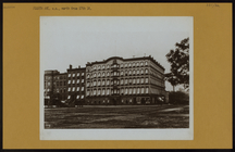
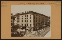
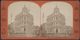
German Savings Bank, 14th St.
m
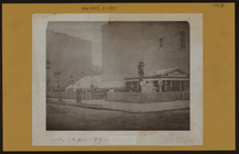
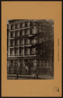
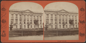
Court House.
m
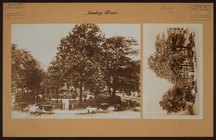
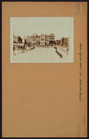
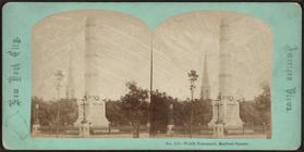
Union Square looking North to…
m
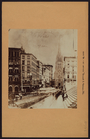
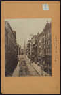
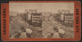
Broadway looking North from U…
m
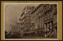
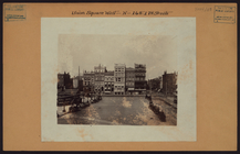
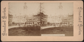
Union Square & Everett House.…
m
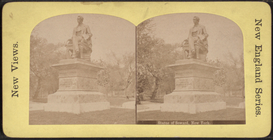
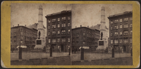
Washington Monument, Union Sq…
m
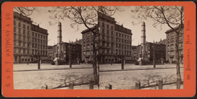
Union Square & 4th Avenue, lo…
m
Union Square, looking North. …
m
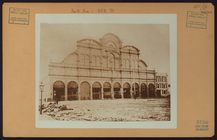
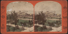
Castle Garden [aerial view wi…
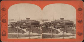
m
Castle Garden [view of ground…
m
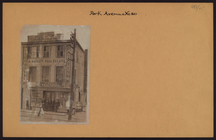
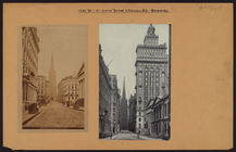
Park Place from New Post Offi…
m
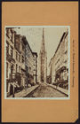
Looking down Broadway from th…