Click to visit the main New York Public Library Homepage
The New York Public Library
Digital Collections
About Digital Collections
Browse
Search only public domain materials
Items
Collections
Divisions
Home
Search
Browse
About
Search only public domain materials
Items
Collections
Divisions
Digital Collections
Using Images
Using Data
Search
Filtered search
Show filters
Hide filters
Show Only Public Domain
topic
Buildings, structures, etc
673
Buildings, structures, etc
568
Historic buildings
523
Real property
139
Parks
90
More
Less
name
Wurts Bros. (New York, N.Y.)
524
Pidgeon, R. H. (Roger H.)
156
Robinson, E. (Elisha)
156
E. Robinson Co
155
Langill, C. C
57
More
Less
collection
Photographic views of New York City, 1870's-1970's, from the collections of the New York Public Library. Supplement
673
Collection of photographs of New York City
522
Photographic views of New York City, 1870's-1970's, from the collections of the New York Public Library
363
Scrapbooks of New York City views
216
Atlases of New York City
155
More
Less
place
x
New York (N.Y.)
New York (State)
1302
New York
1141
Manhattan (New York, N.Y.)
817
Brooklyn (New York, N.Y.)
127
More
Less
genre
Photographs
1939
Maps
269
Stereographs
135
Prints
117
Clippings
58
More
Less
publisher
E. Robinson Co
155
The Trow City Directory Company
18
Julius Bien & Co
15
Kilburn Brothers
11
B. W. Kilburn
10
More
Less
division
Milstein Division
1796
Map Division
274
Wallach Division: Photography Collection
183
Wallach Division: Picture Collection
113
Wallach Division: Print Collection
73
More
Less
type
still image
2194
cartographic
270
text
62
notated music
2
Date Range
to
2,519 results found
Filtering on:
x
Date
: 1876 - 1892
x
Place
: New York (N.Y.)
Sort by:
Title
Date created
Date digitized
Sequence
m
Chapter XIV: Sixth Avenue, [p…
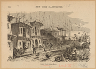
North River Oyster-Boats
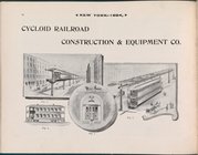
Cycloid Railroad Construction…
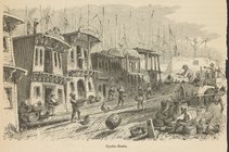
Oyster-boats
m
Brooklyn: Devoe Street - Lori…
Map of the City of New York a…
Map of the country thirty thr…
Sketch map of the City of New…
Sketch map of the city of New…
Map of New York, Brooklyn, an…
Map showing the present dista…
Map of the country thirty thr…
New map of the great metropol…
Map of the Harlem River and S…
m
New guide map of New York Cit…
m
Plans for the improvement of …
m
Taunton new guide map and dir…
Map of New York City, south o…
m
Robinson's map of New York Ci…
m
Driving road chart of the cou…
Map of New York City : showin…
m
Watson's new map of New York …
m
Watson's new map of New York …
Manhattan Island in the sixte…
The Negroes sentenced
m
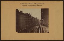
Celebrations - Parades - Muni…
m
Brooklyn: Court Street - Fult…
m
Brooklyn: Court Street - Jora…
m
Brooklyn: Court Street - Myrt…
m
Brooklyn: Clarendon Road - 22…
m
Brooklyn: Bedford Avenue - Di…
m
Brooklyn: Bath Avenue - Bay 1…
m
Brooklyn: Atlantic Avenue - W…
m
Brooklyn: Clark Street - Fult…
m
Chapel Street in New Haven, C…
m
Bronx: Pelham Bay Park - Josh…
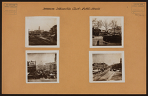
Composite photograph of 19th-…
m
Bronx: Van Cortlandt Park - V…
m
Bronx: Van Cortlandt Park - V…
m
Bronx: Soundview Avenue - Ste…
m
Brooklyn: 6th Avenue - Sterli…
m
Bronx: Bryant Avenue - Westch…
m
Bronx: 222nd Street (East) - …
m
Bronx: 3rd Avenue - 171st Str…
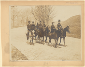
Equestrians on Riverside Drive
m
Bronx: Boston Road - 166th St…
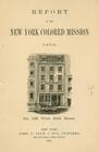
Report of the New York Colore…
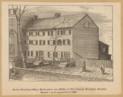
Kirk's Printing Office, birth…
The East River Bridge
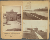
General views, Governor's Isl…
1
2
3
4
5
6
7
8
9
10
11
Previous
Next
1
2
3
4
5
6
7
8
9
10
11
Previous
Next