Click to visit the main New York Public Library Homepage
The New York Public Library
Digital Collections
About Digital Collections
Browse
Search only public domain materials
Items
Collections
Divisions
Home
Search
Browse
About
Search only public domain materials
Items
Collections
Divisions
Digital Collections
Using Images
Using Data
Search
Filtered search
Show filters
Hide filters
Show Only Public Domain
topic
Railroads
8
Administrative and political divisions
6
Local transit
6
Piers
4
School districts
4
More
Less
name
Taunton, S. D. L
3
Railway Map & Publishing Co
2
A.M. Photo-Lithogr. Co
1
Dripps, W. C
1
Fisk & Russell
1
More
Less
collection
Maps of New York City and State
18
Photographic views of New York City, 1870's-1970's, from the collections of the New York Public Library
1
place
x
Bronx (New York, N.Y.)
New York (State)
18
New York (N.Y.)
17
Manhattan (New York, N.Y.)
14
New York
6
More
Less
genre
Maps
18
Tourist maps
3
Manuscript maps
1
Photographs
1
publisher
Commission?
2
Cushing & Bardua
2
S.D.L. Taunton, 88 Warren St
2
publisher unknown
2
E. Robinson
1
More
Less
division
Map Division
18
Milstein Division
1
type
cartographic
18
still image
1
Date Range
to
19 results found
Filtering on:
x
Date
: 1878 - 1886
x
Place
: Bronx (New York, N.Y.)
Sort by:
Title
Date created
Date digitized
Sequence
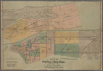
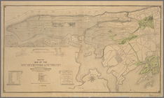
Sketch map of the City of New…
Sketch map of the city of New…
m
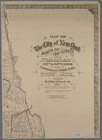
Taunton new guide map and dir…
m
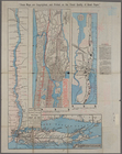
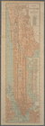
Robinson's map of New York Ci…
m
Bronx: Boston Road - 166th St…
m
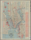
Map of the City of New York n…
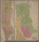
Map of that portion of the 12…
Map of the County of New York…
Map of the County of New York…
Map of the County of New York…
m
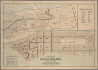
Map of the 23rd ward, New Yor…
m
Taunton new guide map and dir…
Map of the City of New York :…
Map of New York City
Map of the County of New York…
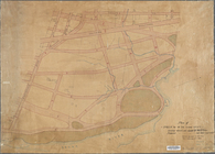
Sketch map of the city of New…
m
Taunton new guide map and dir…
Plan of streets etc. on the L…
m
Map of the City & County of N…
End of results
|
Top