Click to visit the main New York Public Library Homepage
The New York Public Library
Digital Collections
About Digital Collections
Browse
Search only public domain materials
Items
Collections
Divisions
Home
Search
Browse
About
Search only public domain materials
Items
Collections
Divisions
Digital Collections
Using Images
Using Data
Search
Filtered search
Show filters
Hide filters
Show Only Public Domain
topic
Real property
29
Landowners
22
Administrative and political divisions
6
Estate
2
History
2
More
Less
name
Bourquin, F. (Frederick), 1808-
8
Warner & Foote
7
Bracher, Wm. (William)
5
Kaufmann, C
5
Smith & Stroup (Firm)
5
More
Less
collection
Maps of North America
21
Maps of New York City and State
10
place
New York (State)
10
Minnesota
8
Massachusetts
3
Hennepin County
2
Hennepin County (Minn.)
2
More
Less
genre
x
Cadastral maps
Maps
31
Wall maps
3
Manuscript maps
1
publisher
Published by Warner & Foote
6
publisher not identified
4
Beers & Lanagan
2
Egbert L. Viele, civil and topographical engineer
2
J.B. Beers & Co
2
More
Less
division
Map Division
31
type
cartographic
31
Date Range
to
31 results found
Filtering on:
x
Date
: 1879 - 1880
x
Genre
: Cadastral maps
Sort by:
Title
Date created
Date digitized
Sequence
m
Map of Stearns County, Minnes…
m
Map of Hennepin County, Minne…
m
Map of Meeker County, Minneso…
m
Map of McLeod County, Minneso…
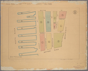
Map of a portion of Point Ke…
m
Map of Scott County, Minnesot…
m
Map of LeSueur County, Minnes…
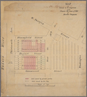
Map of Lake Minnetonka : show…
m
Abbott's map of the city of M…
Map of the city of Tacoma : P…
Map of the Lower Comstock and…
m
Map of Elizabeth City Co., Va…
Plan of the town Ebenezer and…
m
Map of Montgomery County, Ken…
m
Map of Scott Co., Kentucky : …
m
New Map of Atlantic City [New…
Map of property of the Ruther…
Plan of Charlestown peninsula…
Map of Boston and vicinity
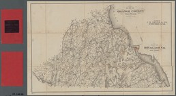
Plan of Orange County, New Yo…
m
Castle Ridge, Tarrytown, West…
m
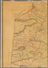
Map of the highlands of the H…
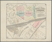
Part of the 5th Ward of the C…
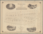
Shonnard Park at Yonkers, est…
m
Huguenot Park, Westchester Co…
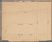
Map of Webster's Addition to …
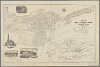
Map of Westminster Park of th…
Milford in 1646: [Connecticut]
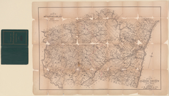
Plan of Sullivan County, New …
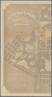
Land register map of the City…
Map of land to be acquired un…
End of results
|
Top