Click to visit the main New York Public Library Homepage
The New York Public Library
Digital Collections
About Digital Collections
Browse
Search only public domain materials
Items
Collections
Divisions
Home
Search
Browse
About
Search only public domain materials
Items
Collections
Divisions
Digital Collections
Using Images
Using Data
Search
Filtered search
Show filters
Hide filters
Show Only Public Domain
topic
Real property
148
Railroads
5
Parks
4
Cemeteries
3
Administrative and political divisions
2
More
Less
name
G.M. Hopkins & Co
108
G.W. Bromley & Co
37
Green-Wood Cemetery (New York, N.Y.)
3
Eno, Amos F., 1836-1915
2
Moulton, John S., approximately 1820-
2
More
Less
collection
Atlases of New York City
145
Maps of New York City and State
13
Photographic views of New York City, 1870's-1970's, from the collections of the New York Public Library
7
Scrapbooks of New York City views
4
Robert N. Dennis collection of stereoscopic views
3
More
Less
place
x
Brooklyn (New York, N.Y.)
New York (State)
162
New York
160
New York (N.Y.)
19
Coney Island (New York, N.Y.)
4
More
Less
genre
Maps
150
Photographs
11
Title pages
6
Clippings
3
Stereographs
3
More
Less
publisher
G.M. Hopkins & Co
108
G. W. Bromley & E. Robinson
37
A.J. Fisher
1
M. Dripps
1
D.A. Edsall & Co
1
More
Less
division
Map Division
158
Milstein Division
11
Wallach Division: Photography Collection
3
Wallach Division: Print Collection
2
type
cartographic
150
still image
17
text
9
Date Range
to
174 results found
Filtering on:
x
Date
: 1879 - 1880
x
Place
: Brooklyn (New York, N.Y.)
Sort by:
Title
Date created
Date digitized
Sequence
m
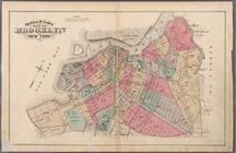
Watson's new map of New York …
m
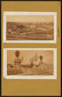
Chapel Street in New Haven, C…
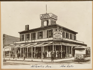
Howard House Hotel, East New …
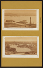
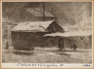
Flatbush Ave. & Livington St.
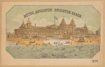
Hotel Brighton, Brighton Beach
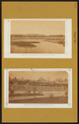
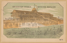
Brighton Beach, bathing pavil…
m
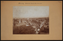
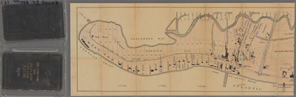
Brooklyn: Prospect Park.
m
Brooklyn: Prospect Park.
m
Brooklyn: Prospect Park.
m
Brooklyn: Prospect Park.
m
Brooklyn: Wyona St. - Fulton …
m
Brooklyn: Fulton Street - Fur…
m
Edsalls' New York City guide …
Elevated railway map of New Y…
m
Map of the route of the New Y…
m
Map of Coney Island and Sheep…
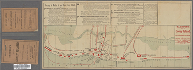
Taunton's map of Coney Island…
m
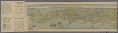
Birdseye view of Coney Island…
m
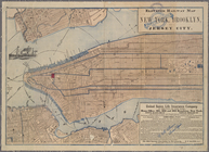
Watson's new map of the city …
Map of the Eureka Basin, incl…
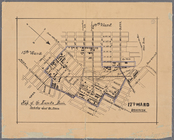
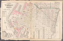
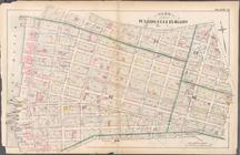
Twenty fifth ward, first elec…
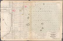
New map of Brooklyn and vicin…
Map showing route of proposed…
Map of property owned by Fran…
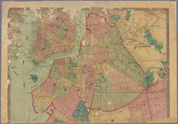
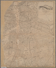
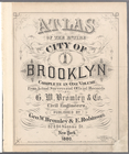
Atlas of the entire city of B…
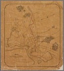
Outline & Index Map of Brookl…
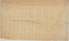
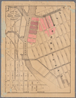
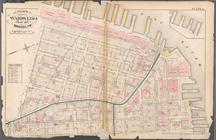
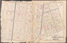
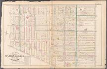
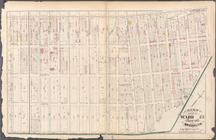
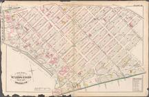
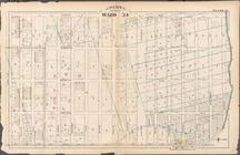
Plate 1:Bounded by Furman Str…
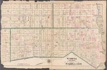
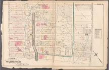
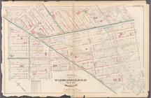
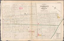
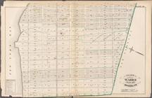
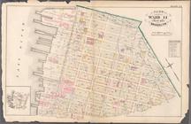
Plate 2: Bounded by Adams Str…
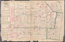
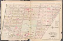
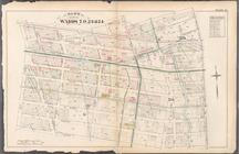
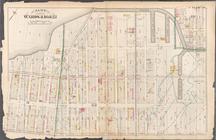
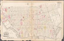
Plate 3: Bounded by Pierpont …
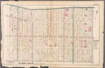
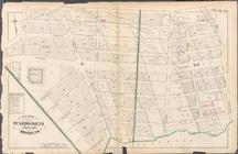
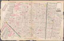
Plate 4: Bounded by Smith Str…
Plate 5: Bounded by Baltic St…
Plate 6: Bounded by Clinton A…
Plate 7: Bounded by Flushing …
Plate 8: Bounded by De Kalb A…
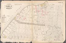
Plate 9: Bounded by Fulton St…
Plate 10: Bounded by Fulton S…
Plate 11: Bounded by Park Pla…
Plate 12: Bounded by Fifth Av…
Plate 13: Bounded by 11th Str…
Plate 14: Bounded by Third Av…
Plate 15: Bounded by Congress…
Plate 16: Bounded by Bowne St…
Plate 17: Bounded by 21st Str…
Plate 20: Bounded by S. 11th …
Plate 18: Bounded by 40th Str…
Plate 19: Bounded by Albany A…
Plate 21: Bounded by Grand St…
Plate 22: Bounded by N. 14th …
Plate 23: Bounded by Oakland …
Plate 24: Bounded by Emery St…