Click to visit the main New York Public Library Homepage
The New York Public Library
Digital Collections
About Digital Collections
Browse
Search only public domain materials
Items
Collections
Divisions
Home
Search
Browse
About
Search only public domain materials
Items
Collections
Divisions
Digital Collections
Using Images
Using Data
Search
Filtered search
Show filters
Hide filters
Show Only Public Domain
topic
Real property
80
Historic buildings
58
Buildings, structures, etc
30
Houses
30
Buildings, structures, etc
12
More
Less
name
E. Robinson Co
77
Robinson, E. (Elisha)
77
Pidgeon, R. H. (Roger H.)
43
Austin, Daniel Berry
39
F. Bourquin & Co
34
More
Less
collection
Atlases of New York City
77
Collection of photographs taken by Daniel B. Austin and his associate, Adam Dove, depicting buildings, street scenes and Brooklyn and Long Island views, particularly Flatbush, Gravesend and New Utrecht, and generally for the period 1885-1914
39
Collection of photographs of New York City
29
Photographic views of New York City, 1870's-1970's, from the collections of the New York Public Library
23
Maps of New York City and State
13
More
Less
place
x
Brooklyn (New York, N.Y.)
New York (State)
177
New York
166
New York (N.Y.)
81
Flatbush Avenue (New York, N.Y.)
5
More
Less
genre
Photographs
112
Maps
87
Prints
11
Views
4
Clippings
3
More
Less
publisher
E. Robinson Co
77
publisher not identified
4
Gaylord Watson
2
Rand McNally & Co
2
Boughton & Terwilliger
1
More
Less
division
Milstein Division
114
Map Division
90
Wallach Division: Picture Collection
6
Wallach Division: Print Collection
6
Wallach Division: Photography Collection
1
type
still image
132
cartographic
88
text
3
Date Range
to
222 results found
Filtering on:
x
Date
: 1884 - 1890
x
Place
: Brooklyn (New York, N.Y.)
Sort by:
Title
Date created
Date digitized
Sequence
m
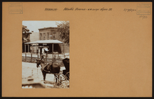
Brooklyn: Devoe Street - Lori…
m
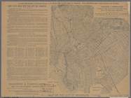
New map of Kings and Queens c…
m
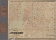
Watson's new map of New York …
m
Brooklyn: Clarendon Road - 22…
m
Brooklyn: Bedford Avenue - Di…
m
Brooklyn: Bath Avenue - Bay 1…
m
Brooklyn: Atlantic Avenue - W…
m
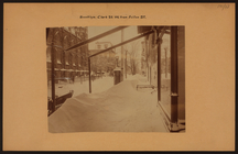
Brooklyn: Clark Street - Fult…
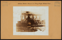
The street-car strike in Broo…
m
Brooklyn: 6th Avenue - Sterli…
General views, Nostrand Ave.
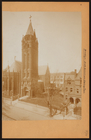
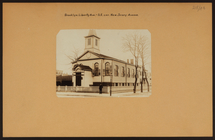
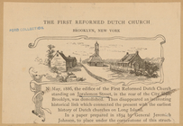
The First Reformed Dutch Chur…
m
New map of Kings and Queens c…
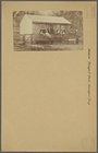
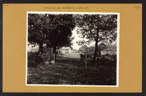
Three Mile House (1854)
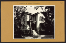
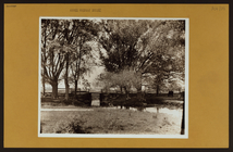
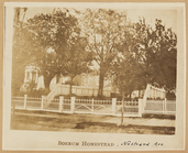
Boerum Homestead
Benson Homestead, Bensonhurst
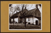
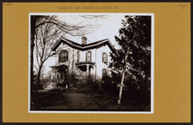
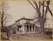
Victorian house
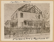
Martense House
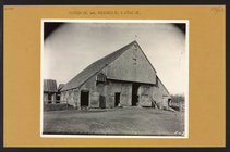
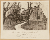
Dutch style farm house with t…
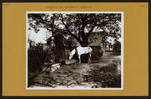
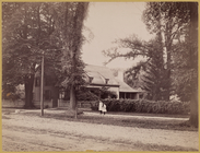
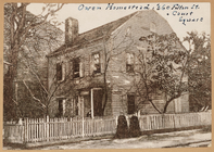
Owen Homestead
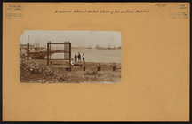
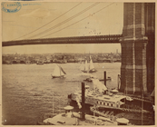
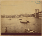
View of Manhattan from Brookl…
View of Manhattan from Brookl…
m
Brooklyn: Prospect Park - Sur…
m
Brooklyn: Wallabout St. - Cli…
m
Brooklyn: Flatbush Avenue - W…
m
Brooklyn: Flatbush Avenue - D…
m
Brooklyn: Flatbush Avenue - D…
m
Brooklyn: Flatbush Avenue - V…
m
Brooklyn: Flatbush Avenue - V…
m
Brooklyn: Flatbush Avenue - V…
m
Brooklyn: Flatbush Avenue - V…
m
Brooklyn: Flatbush Avenue - V…
m
Brooklyn: Flatbush Avenue - V…
m
Brooklyn: Hicks Street - Mont…
m
Brooklyn: Kings Highway - Var…
m
Brooklyn: Liberty Avenue - Ne…
m
Brooklyn: Meeker Avenue - Sch…
m
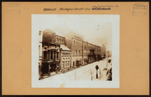
Brooklyn: Montague Street - C…
Green-Wood Cemetery, 1887
Map of property belonging to …
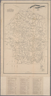
Index map to Bensonhurst-by-t…
Watson's new map of Brooklyn …
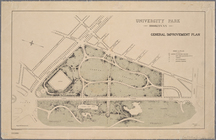
University Park, Brooklyn, N.…
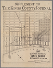
Map of sewer district of Bath…
Green-Wood Cemetery, 1886
m
Rand, McNally & Co.'s map of …
m
Map of the city of Brooklyn ;…
m
Rand, McNally & Co.'s map of …
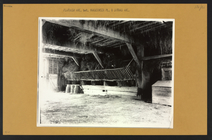
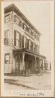
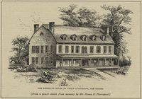
The Brooklyn house of Philip …
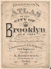
Robinson's atlas of the city …