Click to visit the main New York Public Library Homepage
The New York Public Library
Digital Collections
About Digital Collections
Browse
Search only public domain materials
Items
Collections
Divisions
Home
Search
Browse
About
Search only public domain materials
Items
Collections
Divisions
Digital Collections
Using Images
Using Data
Search
Filtered search
Show filters
Hide filters
Show Only Public Domain
topic
Real property
82
Railroads, Elevated
5
Farmhouses
4
Railroads
4
Streets
4
More
Less
name
E.B. Hyde & Co
81
Ullitz, Hugo
81
J.B. Beers & Co
3
Brooklyn Daily Eagle (Firm)
2
Locke, W. W
2
More
Less
collection
Atlases of New York City
81
Maps of New York City and State
16
Photographic views of New York City, 1870's-1970's, from the collections of the New York Public Library
14
Scrapbooks of New York City views
2
Wallach Division Picture Collection
2
More
Less
place
x
Brooklyn (New York, N.Y.)
New York (State)
97
New York
96
New York (N.Y.)
17
Maps
2
More
Less
genre
Maps
92
Photographs
16
Indexes
3
Title pages
2
Aerial views
1
More
Less
publisher
E.B. Hyde & Co
81
Brooklyn Daily Eagle
2
publisher not identified
2
Brooklyn Rapid Transit Co. General Passenger Dept
1
Brooklyn daily eagle
1
More
Less
division
Map Division
97
Milstein Division
16
Wallach Division: Picture Collection
2
Music Division
1
type
cartographic
95
still image
20
text
5
notated music
1
Date Range
to
116 results found
Filtering on:
x
Date
: 1895 - 1898
x
Place
: Brooklyn (New York, N.Y.)
Sort by:
Title
Date created
Date digitized
Sequence
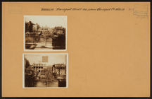
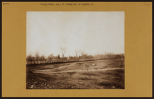
Plan of Bay Ridge Parkway
m
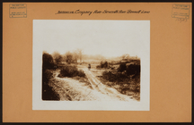
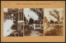
Brooklyn: Cropsey Avenue - 7t…
m
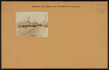
Brooklyn: Bushwick Avenue - H…
m
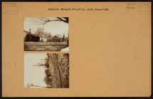
Brooklyn: Atlantic Avenue - N…
m
Brooklyn: 35th Street (East) …
Coney Island, New York's holi…
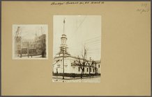
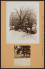
Woodframe tenements known as …
m
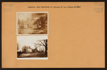
Brooklyn: Pierrepont Street -…
m
Brooklyn: Rockaway Parkway - …
m
Brooklyn: Surf Avenue - 8th S…
m
Brooklyn: Warwick St. - Dumon…
m
Brooklyn: Washington St. - Ti…
m
Brooklyn: Evergreen Avenue - …
m
Brooklyn: Flatbush Avenue - M…
m
Brooklyn: Fulton Street - Cra…
m
Brooklyn: Irving Avenue - Put…
m
Brooklyn: Jamaica Avenue - Wa…
m
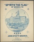
Up with the flag!
m
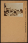
New York City elevated railro…
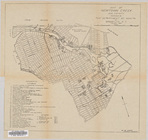
Map of Newtown Creek and vici…
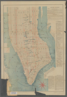
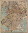
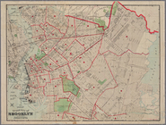
Map of the borough of Brookly…
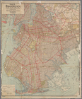
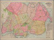
Guide map of Brooklyn, Kings …
m
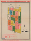
20th ward.
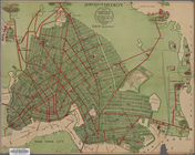
Handy map of Brooklyn showing…
m
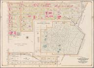
The Green-Wood cemetery 1897
Map of Newtown Creek and vici…
Guide map of the borough of B…
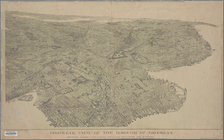
Bird's-eye view of the boroug…
m
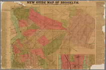
New guide map of Brooklyn.
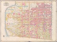
Map of the city of Brooklyn
m
Map of the enlarged city of B…
Index map to Bensonhurst-by-t…
Map of the enlarged city of B…
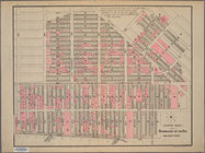
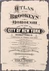
Atlas of the Brooklyn borough…
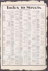
Index to Streets. Aberdeen St…
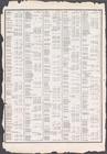
Index to Streets. Kanu Place …
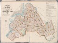
Index Map to Volume One. Atla…
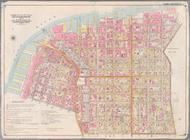
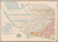
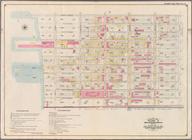
Bounded by Marshall St., Litt…
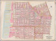
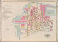
Bounded by Clark St., Fulton …
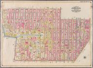
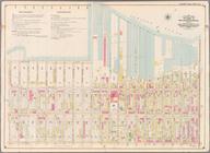
Bounded by Smith St., Bergen …
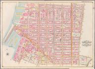
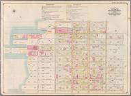
Bounded by Baltic St., Court …
Bounded by Ostego St., Dwight…
Bounded by (Buttermilk Channe…
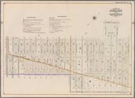
Bounded by Second Ave., Twent…
Bounded by Thirty Seventh St.…
Bounded by Forty Ninth St., S…
Bounded by Sixth Ave., Thirty…
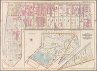
Bounded by Prospect Avenue, E…
Bounded by Third Street, Seve…
Bounded by Seventh Avenue, Ca…