Click to visit the main New York Public Library Homepage
The New York Public Library
Digital Collections
About Digital Collections
Browse
Search only public domain materials
Items
Collections
Divisions
Home
Search
Browse
About
Search only public domain materials
Items
Collections
Divisions
Digital Collections
Using Images
Using Data
Search
Filtered search
Show filters
Hide filters
Show Only Public Domain
topic
Library sites
6
Administrative and political divisions
4
School districts
4
City planning
3
Population
3
More
Less
name
Ohman, August R
4
Bradley, Leonard
1
City History Club of New York
1
Cockburn, William
1
French and Indian War (United States : 1754-1763)
1
More
Less
collection
Maps of New York City and State
18
Maps of North America
5
place
New York (State)
16
New York (N.Y.)
15
Manhattan (New York, N.Y.)
14
New York
14
Connecticut
3
More
Less
genre
x
Manuscript maps
Maps
23
Facsimiles
3
Cadastral maps
2
Drawings
1
More
Less
publisher
producer not identified
11
B.F. Stevens
1
City History Club
1
Office of Albert B. Hill, consulting engineer
1
publisher not identified
1
division
Map Division
23
type
cartographic
23
Date Range
to
23 results found
Filtering on:
x
Date
: 1895 - 1917
x
Genre
: Manuscript maps
Sort by:
Title
Date created
Date digitized
Sequence
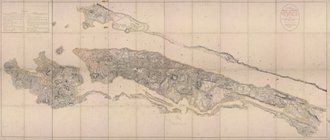
Map of Gloucester Co., Va.
Massachusetts with Connecticu…
New Jersey
The route of the army under t…
Map of New York, New England,…
Pencil sketch of Rochester, N…
Map of property owned by the …
m
Map of Long Island and adjace…
m
1906 Library map of Manhattan…
Map No. II New York
Map of New York City between …
m
Map of part of New York City …
m
Map showing part of the city …
Diagram showing location of u…
m
1907 Library map of Manhattan…
m
27th assembly district
m
1905 Library map of Manhattan…
m
Facsimile of the unpublished …
m
1907 Library map of Manhattan…
m
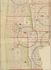
Population and school attenda…
Block distribution of childre…
m
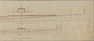
Profile of Riverside Drive fr…
m
Library map 1908
End of results
|
Top