Click to visit the main New York Public Library Homepage
The New York Public Library
Digital Collections
About Digital Collections
Browse
Search only public domain materials
Items
Collections
Divisions
Home
Search
Browse
About
Search only public domain materials
Items
Collections
Divisions
Digital Collections
Using Images
Using Data
Search
Filtered search
Show filters
Hide filters
Show Only Public Domain
topic
x
Administrative and political divisions
Railroads
24
Local transit
11
Election districts
7
Roads
7
More
Less
name
Rand McNally and Company
6
Matthews-Northrup Company
5
Colton, Ohman & Co
3
E. Belcher Hyde (Firm)
3
Geo. H. Walker & Co
3
More
Less
collection
Maps of New York City and State
39
Maps of North America
29
place
New York (State)
36
New York
26
Manhattan (New York, N.Y.)
17
New York (N.Y.)
17
Brooklyn (New York, N.Y.)
9
More
Less
genre
Maps
68
Manuscript maps
4
Road maps
4
Cadastral maps
2
Facsimiles
1
More
Less
publisher
publisher not identified
5
Sampson, Murdock & Co
4
producer not identified
4
Colton, Ohman & Co
3
Department of the Interior, General Land Office
3
More
Less
division
Map Division
68
type
cartographic
68
text
1
Date Range
to
68 results found
Filtering on:
x
Date
: 1897 - 1923
x
Topic
: Administrative and political divisions
Sort by:
Title
Date created
Date digitized
Sequence
Williams' map of Borough of B…
Map of the borough of Brookly…
m
Hammond's complete map of New…
m
Map of the borough of Brookly…
m
The Rand McNally map of the b…
m
Map of the borough of Brookly…
m
Map of the borough of Queens,…
m
Borough of Brooklyn, 5th cong…
m
Eagle Almanac map of the boro…
m
Rand-McNally standard map of …
m
Rand, McNally & Co.'s Minneso…
The Civic Federation map of C…
Map of the state of Kansas
Map of the city of Cleveland …
m
Rippey's index map of Baltimo…
m
Map of Long Island: based upo…
Territory of Arizona
Map of the Oregon Railroad an…
Map of the Oregon Railroad an…
Territory of Arizona
Official map of Nebraska : sh…
New map of the city of Philad…
Indiana, 1820
m
Map of the city of Springfiel…
Rand-McNally railroad and cou…
War map of Kentucky
Map of the City of Wilmington…
Rhode Island
m
Map of a part of northern New…
Massachusetts with Connecticu…
Map of the Town of Milford an…
New Jersey
A map of the county of Worces…
New Jersey
Map of the city of Boston and…
The Matthews-Northrup up-to-d…
Road map of the Albany-Troy d…
Map of the city of Boston and…
Map of Taunton: [Massachusett…
City of Lynn: [Massachusetts]
The Matthews-Northrup up-to-d…
Map of Connecticut showing co…
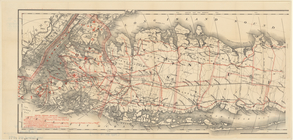
Map of Long Island
Map of the province of New Yo…
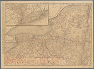
Rand, McNally & Co.'s New York
m
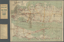
Colton's road map of Long Isl…
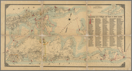
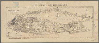
Long Island for the summer
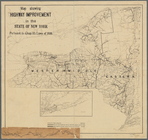
Map showing highway improveme…
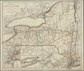
Railroad map of the State of …
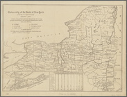
University of the State of Ne…