Click to visit the main New York Public Library Homepage
The New York Public Library
Digital Collections
About Digital Collections
Browse
Search only public domain materials
Items
Collections
Divisions
Home
Search
Browse
About
Search only public domain materials
Items
Collections
Divisions
Digital Collections
Using Images
Using Data
Search
Filtered search
Show filters
Hide filters
Show Only Public Domain
topic
Real property
278
Maps
87
Houses
34
Historic buildings
33
Elevated railroads
8
More
Less
name
E. Belcher Hyde Map Company
274
E.B. Hyde & Co
274
Ullitz, Hugo
274
Bromley, George Washington
87
Bromley, Walter Scott
87
More
Less
collection
Atlases of New York City
361
Photographic views of New York City, 1870's-1970's, from the collections of the New York Public Library
81
Collection of photographs taken by Daniel B. Austin and his associate, Adam Dove, depicting buildings, street scenes and Brooklyn and Long Island views, particularly Flatbush, Gravesend and New Utrecht, and generally for the period 1885-1914
43
Maps of New York City and State
33
Scrapbooks of New York City views
6
More
Less
place
x
Brooklyn (New York, N.Y.)
New York (State)
378
New York
372
Maps
194
New York (N.Y.)
102
More
Less
genre
Maps
365
Photographs
134
Indexes
15
Title pages
9
Postcards
6
More
Less
publisher
E. Belcher Hyde
276
G.W. Bromley & Co
87
The Company
5
Museum of the American Indian, Heye Foundation
4
s.n
3
More
Less
division
Map Division
394
Milstein Division
133
Wallach Division: Picture Collection
7
Billy Rose Theatre Division
2
Music Division
1
More
Less
type
cartographic
372
still image
147
text
32
notated music
1
Date Range
to
541 results found
Filtering on:
x
Date
: 1907 - 1919
x
Place
: Brooklyn (New York, N.Y.)
Sort by:
Title
Date created
Date digitized
Sequence
Map of the borough of Brookly…
m
Map of the borough of Brookly…
m
Map of Brooklyn
m
Petersen's map of Brooklyn
Map of Flatbush Meadows : sit…
Williams' map of Borough of B…
The Evening Mail's complete m…
Map of property New York Dock…
Map of the borough of Brookly…
m
Map of the borough of Brookly…
Brooklyn Liberty Loan Committ…
Bush Terminal, map showing bu…
Rand McNally Map of Brooklyn
Map of Brooklyn
m
Borough of Brooklyn, 5th cong…
m
New quick reference street in…
m
Hammond's complete map of Bro…
m
Eagle Almanac map of the boro…
Borough Park Company
Plan of the great meadows of …
Rand McNally & Co.'s new hand…
m
Brooklyn: Eastern Parkway - F…
m
Brooklyn: Driggs Avenue - 3rd…
m
Brooklyn: Downing Street - Qu…
m
Brooklyn: Cropsey Avenue - Ba…
m
Brooklyn: Cropsey Avenue
m
Brooklyn: Court Street - Jora…
m
Brooklyn: Court Street - Rems…
m
Brooklyn: Fulton Street - Liv…
m
Brooklyn: Columbia Heights - …
m
Brooklyn: Coney Island Avenue…
m
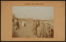
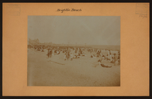
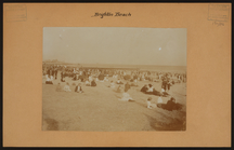
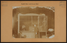
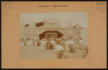
Brooklyn: Brighton Beach
m
Brooklyn: Brighton Beach
m
Brooklyn: Bay Ridge Parkway -…
m
Brooklyn: Brighton Beach - wi…
m
Brooklyn: Oriental Boulevard …
m
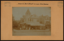
Brooklyn: 86th Street - 22nd …
m
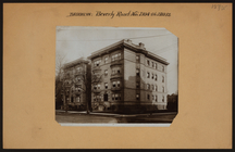
Brooklyn: Beverly Road - 21st…
m
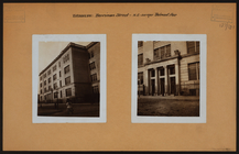
Brooklyn: Berriman Street - B…
m
Brooklyn: 62nd Street - 2nd A…
m
Brooklyn: 55th Street (East) …
m
Brooklyn: 41st Street - 3rd A…
m
Brooklyn: 35th Street (East) …
m
Brooklyn: 18th Avenue - 66th …
m
Brooklyn: 13th Avenue - 50th …
m
Brooklyn: 5th Street (South) …
m
Brooklyn: 4th Avenue - 46th S…
m
Brooklyn: 4th Avenue - Pacifi…
m
Brooklyn: 2nd Avenue - 40th S…
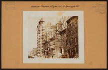
The lower end of Manhattan Is…
1
2
3
Previous
Next
1
2
3
Previous
Next