Click to visit the main New York Public Library Homepage
The New York Public Library
Digital Collections
About Digital Collections
Browse
Search only public domain materials
Items
Collections
Divisions
Home
Search
Browse
About
Search only public domain materials
Items
Collections
Divisions
Digital Collections
Using Images
Using Data
Search
Filtered search
Show filters
Hide filters
Show Only Public Domain
topic
Real property
132
Cities & towns
88
Fire insurance
88
Maps
46
Local transit
5
More
Less
name
Sanborn Map Company
88
G.M. Hopkins & Co
75
Austro-Hungarian Monarchy. Militärgeographisches Institut
48
Bromley, George Washington
46
Bromley, Walter Scott
46
More
Less
collection
Atlases of New York City
359
Atlases of the United States
118
Spezialkarte der Osterreichisch-Ungarischen Monarchie
48
Maps of New York City and State
17
place
New York (State)
143
New York (N.Y.)
138
Jersey City (N.J.)
76
Hudson County (N.J.)
75
Brooklyn (New York, N.Y.)
49
More
Less
genre
Maps
534
Atlases
117
Topographic maps
48
Indexes
5
Title pages
3
More
Less
publisher
Sanborn Map Company
221
G.M. Hopkins Co.,
75
E. Belcher Hyde
69
K.u.K. Militargeographisches Institut
48
G.W. Bromley & Co
46
More
Less
division
x
Map Division
type
cartographic
534
text
10
still image
3
Date Range
to
542 results found
Filtering on:
x
Date
: 1908 - 1908
x
Division
: Map Division
Sort by:
Title
Date created
Date digitized
Sequence
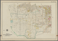
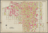
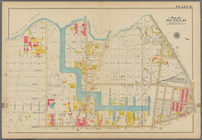
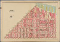
The Cord Meyer Development Co…
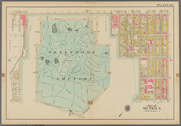
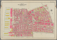
Map of Kissena Park, third wa…
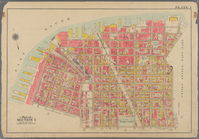
Map of Bellaire Estates : own…
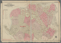
Map of Hudson & Manhattan Rai…
m
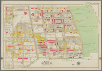
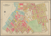
Borough of Brooklyn, 5th cong…
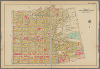
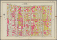
Bounded by Stanley Ave., Mill…
Bounded by Riverdale Avenue, …
Bounded by Linwood St., Cozin…
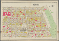
Bounded by Logan Street, Jama…
Bounded by Barbey Street, (Hi…
Bounded by Snediker Avenue, L…
Bounded by Park Place, East N…
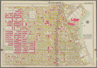
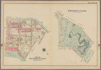
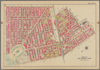
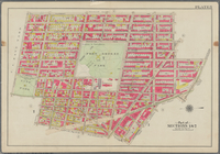
Prospect Park Bounded by (Ins…
Bounded by 9th Avenue, Twenty…
Bounded by Fourth Avenue, 38t…
Bounded by First Avenue (New …
Bounded by (New York Bay) Sec…
Bounded by Richards Street, (…
Bounded by (New York Bay Pier…
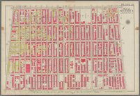
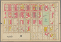
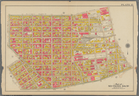
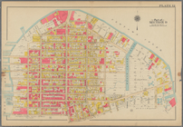
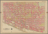
Plate 29: Bounded by Court St…
m
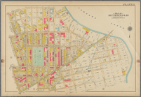
Bounded by Fourth Avenue, Pre…
Bounded by Bedford Avenue, Ma…
Bounded by Kingston Avenue, M…
Bounded by Rochester Avenue, …
Bounded by Saratoga Avenue, E…
Bounded by Conway Street, Nor…
Bounded by Halsey Street, Irv…
Bounded by Harman Street, St.…
Bounded by Saratoga Avenue, C…
Bounded by Stuyvesant Avenue,…
Bounded by Flushing Avenue, B…
Bounded by Flushing Avenue, P…
Bounded by Newton Creek (Sene…
Bounded by Teneyck Street, Mo…
Bounded by Bayard Street, Gra…
Bounded by Calyer Street, Fro…
Bounded by Commercial Street,…
Bounded by Noble St., Manhatt…
Bounded by Metropolitan Ave.,…
Bounded by S. 11th Street, Be…
Bounded by Flushing Avenue, N…
Bounded by Lafayette Avenue, …
Bounded by Fifth Avenue, Atla…
Bounded by Clermont Avenue, G…
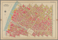
Bounded by Atlantic Avenue, B…
Bounded by Van Brunt Street (…
Bounded by Clark Street, Fult…
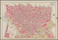
Bounded by Plymouth Street, W…
m
Street Index: Lee Avenue?-Yor…
Outline map of the Borough of…
1
2
3
Previous
Next
1
2
3
Previous
Next