Click to visit the main New York Public Library Homepage
The New York Public Library
Digital Collections
About Digital Collections
Browse
Search only public domain materials
Items
Collections
Divisions
Home
Search
Browse
About
Search only public domain materials
Items
Collections
Divisions
Digital Collections
Using Images
Using Data
Search
Filtered search
Show filters
Hide filters
Show Only Public Domain
topic
Real property
1251
Cities & towns
576
Fire insurance
576
Buildings
359
Streets
336
More
Less
name
Sanborn Map Company
576
G.W. Bromley & Co
427
Ullitz, Hugo
262
Rosenfeld, Morris, 1884-1968
260
New York Public Library
192
More
Less
collection
Atlases of New York City
1290
Photographic views of New York City, 1870's-1970's, from the collections of the New York Public Library
395
Morris Rosenfeld Photographs
260
Atlases of the United States
202
New York Public Library Visual Materials
189
More
Less
place
x
New York (State)
New York
1847
New York (N.Y.)
1070
Manhattan (New York, N.Y.)
925
Maps
328
More
Less
genre
Maps
1521
Photographs
1202
Atlases
201
Postcards
99
Prints
61
More
Less
publisher
Sanborn Map Company
575
G.W. Bromley & Co
379
E. Belcher Hyde
262
E. Belcher-Hyde
112
The Board
76
More
Less
division
Map Division
1550
Milstein Division
987
NYPL Archives
151
Wallach Division: Picture Collection
115
Manuscripts and Archives Division
71
More
Less
type
cartographic
1535
still image
1484
text
61
three dimensional object
1
Date Range
to
3,046 results found
Filtering on:
x
Date
: 1911 - 1916
x
Place
: New York (State)
Sort by:
Title
Date created
Date digitized
Sequence
m
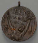
New York 1913 National Emanci…
m
Map of the Cedar Knolls, at B…
m
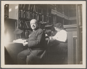
Abraham Freidus and his assis…
Map of the borough of Brookly…
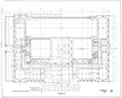
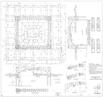
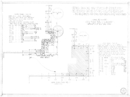
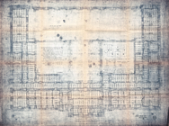
Basement plan
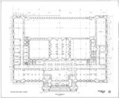
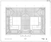
First floor plan
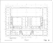
Mezzanine floor plan
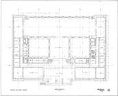
Second floor plan
Third floor plan
Roof plan
m
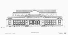
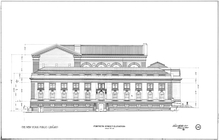
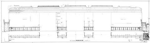
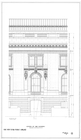
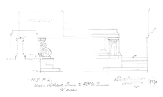
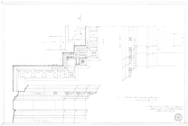
Fifth Avenue elevation
m
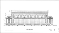
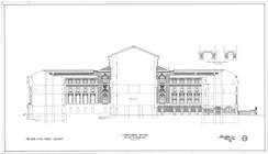
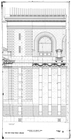
Bryant Park elevation
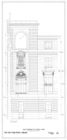
Fortieth Street elevation
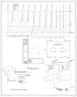
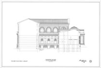
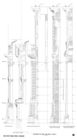
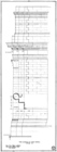
Longitudinal section on axis …
Transverse section on axis B …
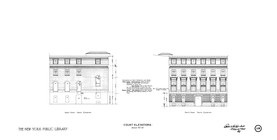
Court elevations : north cour…
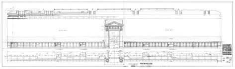
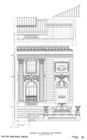
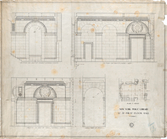
Room no. 232-234, exterior no…
Room no. 232-234, exterior no…
Room no. 335 : west elevation
Room no. 335 : east elevation
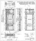
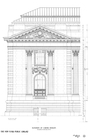
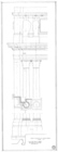
Elevation of colonnade and fo…
Elevation of corner pavilion
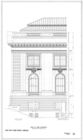
End of side elevation
Center of side elevation
Elevation on Bryant Park
East elevation of south court
Sections of side and rear wal…
Structural metal for roof of …
Steps : northeast terrace to …
Front elevation of south corn…
Side elevation of north corner
Drawing showing how stones of…
Plan of change corners
42nd Street sections
Basement framing
Mezzanine & Rooms 103 and 104
Fraunces' Tavern, N.Y.C., 1777
m
The Harlem Negro
m
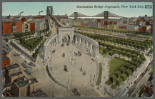
Manhattan Bridge approach, Ne…
m
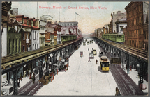
Bowery, North of Grand Street…
Williams' map of Borough of B…
New York and vicinity roads a…
m
Official map covering territo…
Map of property New York Dock…
Carl Schurz Park
Park between 35th and 36th St…
Birdseye view of greater New …
m
Riverside Park
Map of New York City and the …
Bush Terminal, map showing bu…
1
2
3
4
5
6
7
8
9
10
…
12
13
Previous
Next
1
2
3
4
5
6
7
8
9
10
…
12
13
Previous
Next